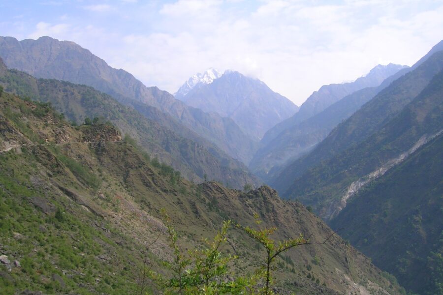
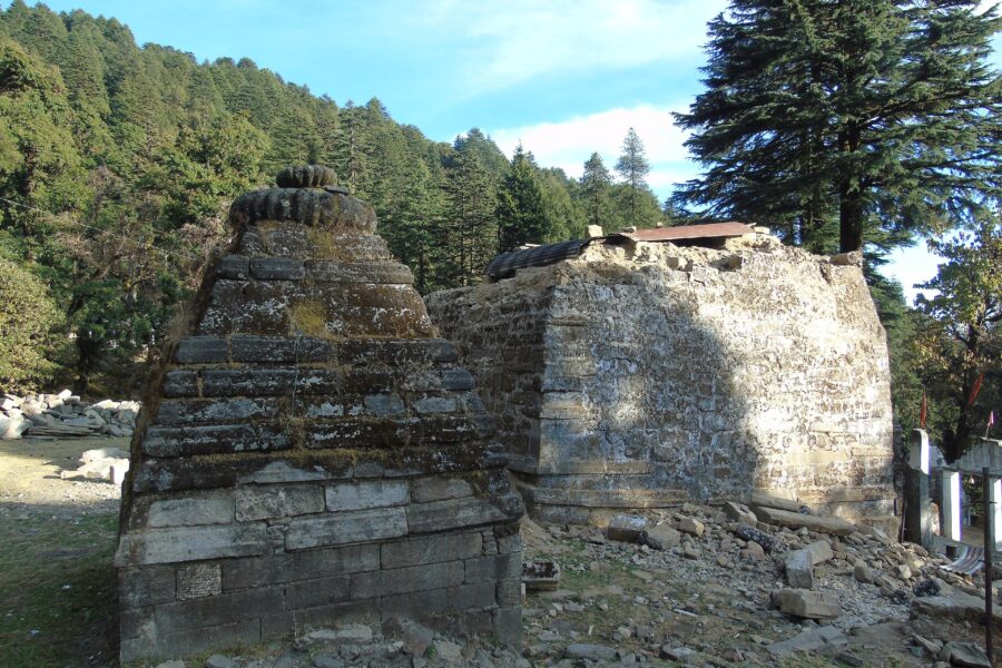
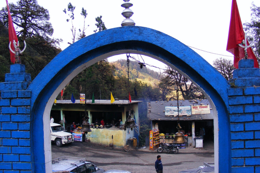
Munsiyari

Don’t just visit. Understand before you go.

Kumaon

Safety & current conditions in Munsiyari

Generally safe to travel Roads likely closed Dec–Feb

Advisory

No active alerts. Carry layers, keep emergency contacts handy and check local conditions before you set out.

Live weather

22°C Partly cloudy
  • Feels 24°C
  • 2 km/h wind
  • 71% humidity

Mountain weather changes quickly. Treat this as a planning signal, not a final safety clearance - confirm locally before you set out.

Overview

A remote Kumaon outpost facing the five Panchachuli peaks - the Khaliya Top meadow trek, Birthi falls, glacial-lake day hikes and the gateway to the old Johar trade valley.

DIY Snapshot

DIY difficulty Moderate
Best for Slow travel, Nature, Trek
Ideal days 2 days
Best season Mar to Jun, Sep to Nov
Budget β‚Ή7,000-β‚Ή12,000
Local transport Hard
Internet Patchy
Safety comfort High
Languages Hindi, Kumaoni
Plan it yourself

The DIY deep-dive

DIY route options

The classic route Base around Munsiyari and run the standard 2-day plan - the easiest, most dependable version of the trip.
Quick trip or slow stay Squeeze it into a weekend, or give Munsiyari an extra day or two - slowing down is the whole point of an offbeat place like this.

What most travellers miss

  • Download offline maps and share your plan first - the mobile network here is patchy to none.
  • Stay in a local homestay over a hotel - it is the real draw here, and proper hotels are few.
  • Time it for March to June, September to November. Outside that window, snow, weather or road closures can cut access.

Where to base yourself

Munsiyari The main base - most stays, food and transport, and the easiest to reach.

DIY is the main way - this is the upgrade

Want expert help adapting this plan?

Prefer a custom version of this trip? We can help you turn this DIY plan into a private, flexible experience for your dates, pace, comfort and group size.

  • Custom route planning
  • Stay and area recommendations
  • Private group support
  • Local expert guidance
Enquire for pricing Enquire on WhatsApp

Map

Curated places to visit in Munsiyari

Tap β€œGet directions” to open any spot straight in Google Maps.

Munsiari

6.1 km from Munsiyari centre

Munsyari is the name of the sub-division headquarters, a municipal board, a conglomeration of revenue villages and it also refers to the entire region as Munsiyari Tehsil and Sub Division in the Pithoragarh District i…

Hotels & food in Munsiyari

Stay

Guest house

Guest house, NH109K, Jainti Band - 262554, Uttarakhand, India

Open in Maps

Stay

Johar hilltop

Johar hilltop, NH109K, Munsyari - 262554, Uttarakhand, India

Open in Maps

Stay

Sahara Homestay

Sahara Homestay, NH109K, Munsyari - 262554, Uttarakhand, India

Open in Maps

Stay

Dhaba shelter

Dhaba shelter, Lilam to Martoli, Buin -, Uttarakhand, India

Open in Maps

Comments are closed.

Treks nearby

View all

Travel guides related to Munsiyari

View all

Related destinations

View all