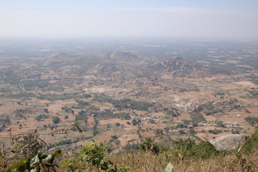
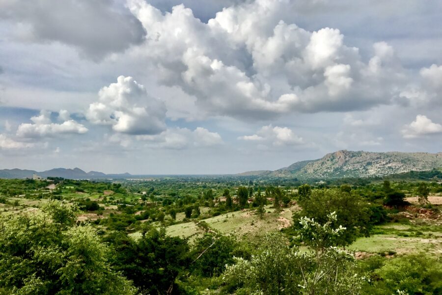
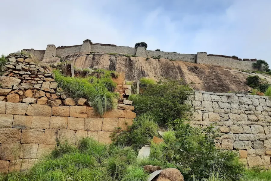
Minchukallu Betta Trek

Know the trail before you step on it - difficulty, permits, weather, guide need and route clarity in one place.

Trek safety, weather & access status

Generally safe to travel Off-season - likely closed Sep–Feb

Advisory

No active alerts. Carry layers, keep emergency contacts handy and check local conditions before you set out.

Live weather

22°C Overcast
  • Feels 25°C
  • 7 km/h wind
  • 86% humidity

Mountain weather changes quickly. Treat this as a planning signal, not a final safety clearance - confirm locally before you set out.

Max altitude 1,100 m
Distance 5 km round
Duration 1 day
Best time September to February
Fitness Easy to Moderate - steep granite
Start point Minchukallu base
End point Minchukallu base
No permit needed

DIY Trek Readiness: can you go self-planned?

Beginners Some experience helps
Guide Optional / self-guided
Permit Not needed
Fitness Easy to Moderate - steep granite
Trail clarity Faint
Network on trail Patchy
Max altitude 1,100 m
Best season Sep–Feb
Languages Kannada, Hindi, English

Readiness verdict

  • Best forBeginners and fit first-timers
  • Not ideal forAnyone not up for long walking days or sudden weather
  • Go DIY only ifYou can manage long walking days, basic navigation and changing mountain weather.
Guide: Optional Permit: Not needed Network: Patchy
Plan it yourself

The DIY deep-dive

DIY route options

The classic route Start from Minchukallu base and follow the standard 1-day line - the most reliable, well-trodden way to do it.
Self-guided or with a guide Do it solo with the offline Gaia GPS trail file, or hire a local guide at Minchukallu base for the navigation and logistics.

What most travellers miss

  • Download offline maps and share your plan first - the mobile network here is patchy to none.
  • Time it for September to February. Outside that window, snow, weather or road closures can cut access.
  • Carry enough cash - card and UPI are unreliable once you leave the main town.

Where to base yourself

Minchukallu base The main base for the trip - stays, food and transport.

DIY is the main way - this is the upgrade

Need expert help planning this trek?

Prefer not to manage permits, guide coordination, stays and route pacing yourself? We can help you turn this trek into a private, supported experience for your dates, group size and comfort level.

  • Permit and guide coordination
  • Private group support
  • Route pacing and halt planning
  • Stay, meals and local logistics
Enquire for pricing Enquire on WhatsApp

About this trek

Minchukallu Betta – the “glittering rock” – is an offbeat granite hill near Bengaluru, named for the mica-flecked slabs that shimmer in the sun. A short, steep, quiet climb to a boulder summit with sweeping rural views.

Essential packing list

  • Trekking shoes
  • Warm layers
  • Rain shell
  • Headlamp
  • Water bottle
  • Trekking shoes with grip
  • Warm base layers and fleece
  • Down jacket
  • Rain shell / poncho
  • Headlamp with extra batteries
  • Water bottle or hydration bladder
  • Sunglasses, cap and sunscreen
  • Personal medicines
  • Power bank
  • Offline maps
  • Cash and ID copies
  • Permit documents

Map

Nearby route landmarks & places to know

Tap “Get directions” to open any spot straight in Google Maps.

Gattahalli

7.2 km from Minchukallu base, Karnataka centre

Gattahalli is a small village in the Kolar district of Karnataka state in India. It is situated about 21 kilometers from Kolar, and the nearest town to this village is Srinivaspur about 10 km and Mulbagal about 15 km.

Koratagere

7.7 km from Minchukallu base, Karnataka centre

Koratagere is a Panchayat Town in Tumkur district in the Indian state of Karnataka.

A. Venkatapura

7.9 km from Minchukallu base, Karnataka centre

A. Venkatapura is a village in the southern state of Karnataka, India. It is located in the Koratagere taluk of Tumkur district in Karnataka.

Goravanahalli Mahalakshmi Temple

9.4 km from Minchukallu base, Karnataka centre

Goravanahalli Mahalakshmi Temple is a Hindu temple located in Goravanahalli, a village in Tumkur district in the Indian state of Karnataka.

Yoganarasimha Temple, Devarayanadurga

9.5 km from Minchukallu base, Karnataka centre

Yoganarsimha Temple is a Hindu Temple located in hill station Devarayanadurga near Tumkur in the state of Karnataka in India. Situated on the hilltop, surrounded by other hills and forests, the temple is dedicated to …

Devarayanadurga

9.5 km from Minchukallu base, Karnataka centre

Devarayanadurga is a temple town and hill station located in the district of Tumakuru in the state of Karnataka in India. The rocky hills are surrounded by forest and the hilltops are dotted with several temples inclu…

Stay & food planning around the trailhead

Base and stock up at the trailhead before you start; on the trail expect basic halts and simple meals - tea stops and packed snacks, with no cafe-style reliability once you set off.

Stay

Yatri Nivas

Yatri Nivas, State Highway 3, Urdigere - 572140, Karnataka, India

Open in Maps

Comments are closed.

More treks nearby

View all

Travel guides related to Minchukallu Betta Trek

View all