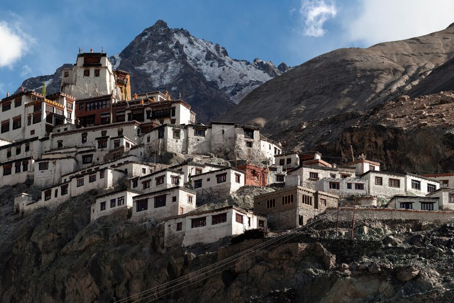
Panamic
3.1 km from Nubra Valley centre
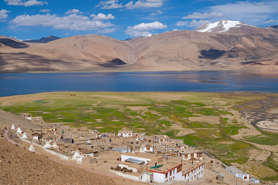
Panamic or Panamik is a town, and the headquarters of the eponymous tehsil and community development block in the Nubra district of Ladakh in India. It is located in the Nubra Valley.
Don’t just visit. Understand before you go.
Seasonal access right now. Nubra Valley is usually reachable only Dec–Feb. Outside these months the roads are often closed by snow and the area can be cut off. Confirm current road status before you travel.
No active alerts. Carry layers, keep emergency contacts handy and check local conditions before you set out.
Mountain weather changes quickly. Treat this as a planning signal, not a final safety clearance - confirm locally before you set out.
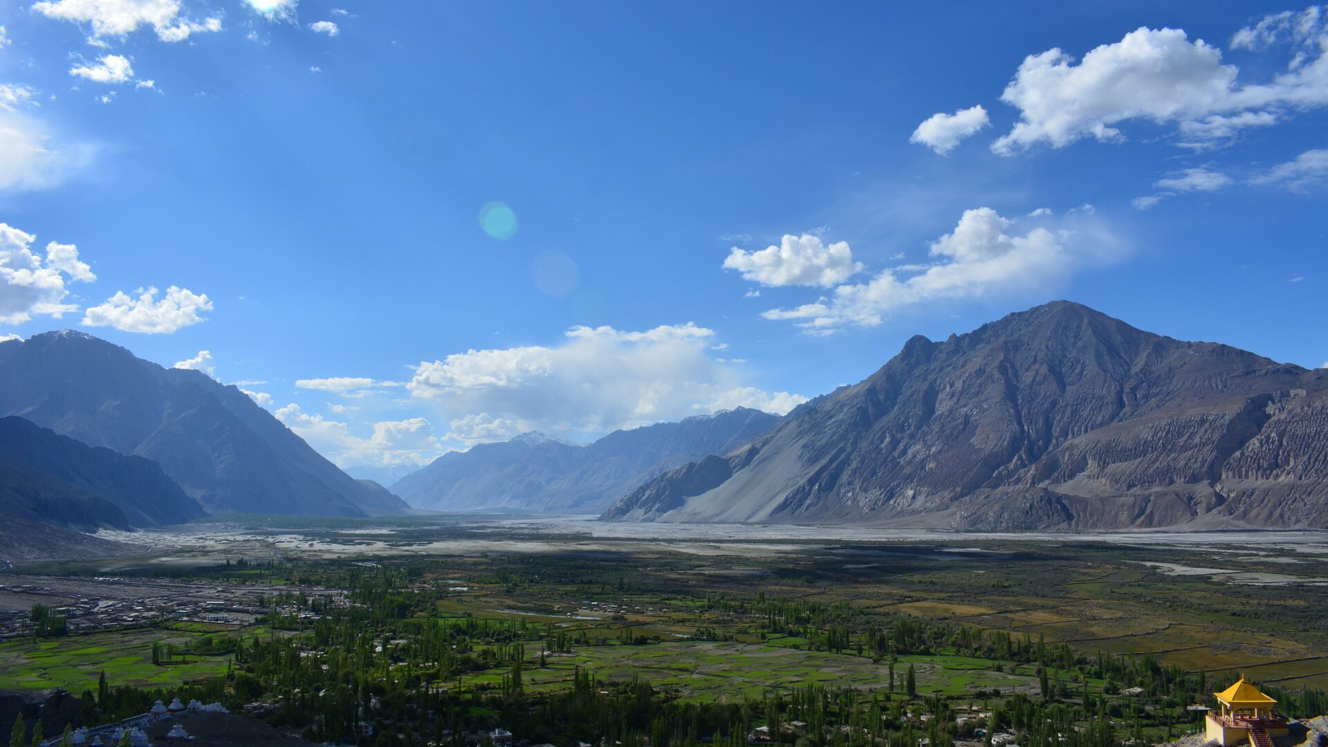
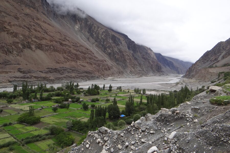
The high desert valley over Khardung La where the Shyok and Nubra rivers meet - sand dunes with double-humped camels at Hunder, the giant Maitreya Buddha at Diskit and green oasis villages.
DIY is the main way - this is the upgrade
Prefer a custom version of this trip? We can help you turn this DIY plan into a private, flexible experience for your dates, pace, comfort and group size.
Tap “Get directions” to open any spot straight in Google Maps.
3.1 km from Nubra Valley centre
Panamic or Panamik is a town, and the headquarters of the eponymous tehsil and community development block in the Nubra district of Ladakh in India. It is located in the Nubra Valley.
8.7 km from Nubra Valley centre
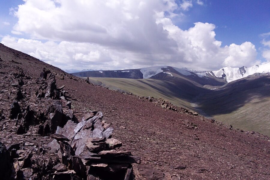
Kunchang Kangri is a mountain peak located at 6,751m (22,149ft) above sea level in the easternmost subrange of the Karakoram range in India.
Stay
Oasis cafe and guest house, Hargam Bridge, Hargam -, Ladakh, India
 Snow season
 Summer
 Summer

 Autumn
 Summer
Travellers
As a woman travelling solo, the safety notes gave me real confidence.
Bought the Spiti map - opened straight in Google Maps, navigated offline. Brilliant.
The free hotel and attraction search saved me hours of research.
Finally, India travel info I can actually trust. The confidence scores are genius.
The day-wise plan made my first solo trip to Manali completely stress-free.