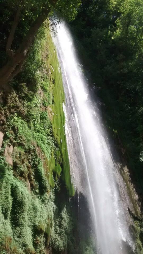
Chakrata

Don’t just visit. Understand before you go.

Garhwal

Safety & current conditions in Chakrata

Generally safe to travel

Advisory

No active alerts. Carry layers, keep emergency contacts handy and check local conditions before you set out.

Live weather

22°C Partly cloudy
  • Feels 21°C
  • 5 km/h wind
  • 44% humidity

Mountain weather changes quickly. Treat this as a planning signal, not a final safety clearance - confirm locally before you set out.

Overview

A quiet Jaunsar-Bawar cantonment above Dehradun, with the big Tiger Falls, the cedar forest of Deoban and almost no crowds.

DIY Snapshot

DIY difficulty Easy
Best for Nature, Slow travel
Ideal days 2 days
Best season Mar to Jun, Sep to Nov
Budget β‚Ή6,000-β‚Ή11,000
Local transport Hard
Internet Patchy
Safety comfort High
Languages Hindi, Jaunsari
Plan it yourself

The DIY deep-dive

DIY route options

The classic route Base around Chakrata and run the standard 2-day plan - the easiest, most dependable version of the trip.
Time it by season Plan around March to June, September to November for the best weather, views and open access.

What most travellers miss

  • Download offline maps and share your plan first - the mobile network here is patchy to none.
  • Time it for March to June, September to November. Outside that window, snow, weather or road closures can cut access.
  • Carry enough cash - card and UPI are unreliable once you leave the main town.

Where to base yourself

Chakrata The main base - most stays, food and transport, and the easiest to reach.

DIY is the main way - this is the upgrade

Want expert help adapting this plan?

Prefer a custom version of this trip? We can help you turn this DIY plan into a private, flexible experience for your dates, pace, comfort and group size.

  • Custom route planning
  • Stay and area recommendations
  • Private group support
  • Local expert guidance
Enquire for pricing Enquire on WhatsApp

Map

Curated places to visit in Chakrata

Tap β€œGet directions” to open any spot straight in Google Maps.

Tiger Falls

2.3 km from Chakrata centre

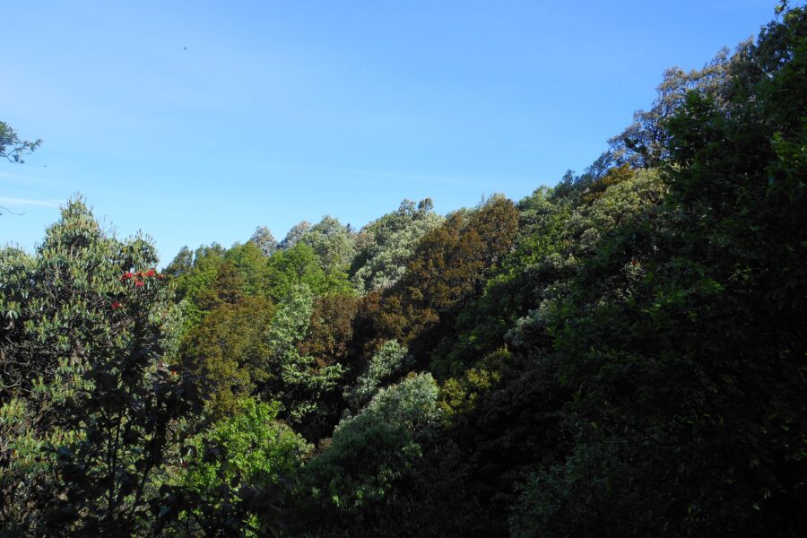
The Tiger Falls are hidden in the hilly terrains of Chakrata in Uttarakhand, India. It is 98Β km from the state capital, Dehradun, 20Β km from Chakrata and can be reached by a 5Β km trek with rhododendron and oak trees s…

Jaunsar-Bawar

6.6 km from Chakrata centre

Jaunsar-Bawar is a hilly region in Garhwal division of Uttarakhand, northern India. It is part of the Mahasu region. It is located in the north-west of Dehradun district, along the border with the state of Himachal Pr…

Hotels & food in Chakrata

Stay

Snow View

Snow View, State Road, Chakrata - 248123, Uttarakhand, India

Open in Maps

Stay

Uttrayan Hotel chakrata

Uttrayan Hotel chakrata, State Road, Chakrata - 248123, Uttarakhand, India

Open in Maps

Stay

Aastha Resort

Aastha Resort, Chakrata - Lakhamandal Road, Dava Pul - 248123, Uttarakhand, India

Open in Maps

Stay

Kanasar Ecolodge

Kanasar Ecolodge, Koti Village, State Road, Koti Kanasar - 248123, Uttarakhand, India

Open in Maps

Comments are closed.

Treks nearby

View all

Travel guides related to Chakrata

View all

Related destinations

View all