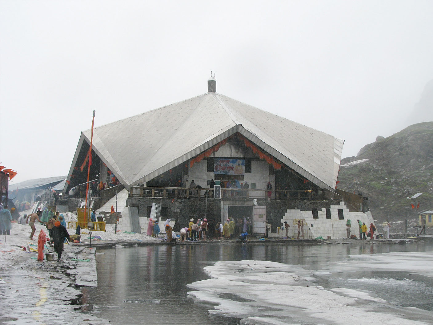
Gurdwara Hemkund Sahib
0.3 km from Govindghat, Uttarakhand centre
Gurdwara Hemkund Sahib is a Sikh place of worship (gurdwara) and pilgrimage site in Chamoli district, Uttarakhand, India. It is devoted to Guru Gobind Singh (1666–1708), the tenth Sikh Guru, and finds mention in Dasam…