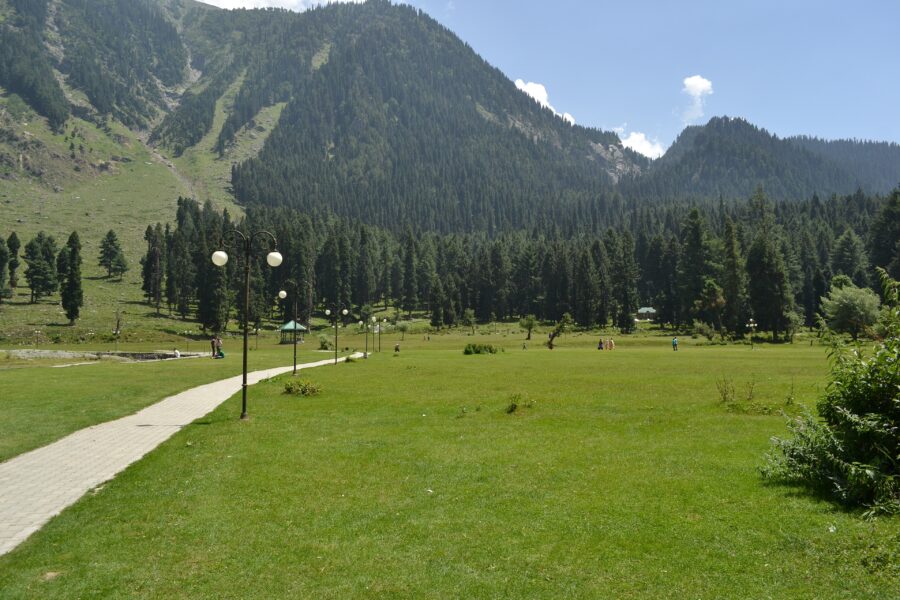
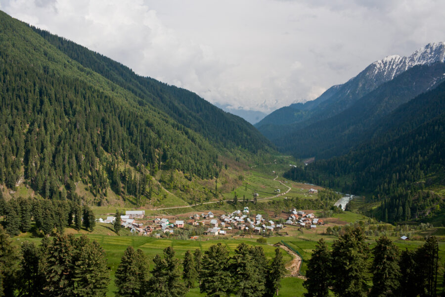
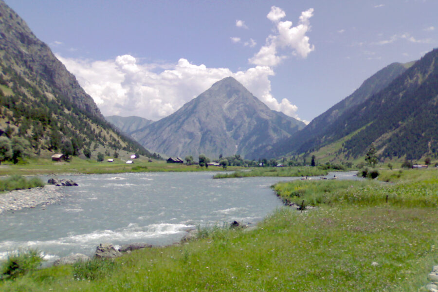
Doodhpathri

Don’t just visit. Understand before you go.

Kashmir

Safety & current conditions in Doodhpathri

Generally safe to travel

Advisory

No active alerts. Carry layers, keep emergency contacts handy and check local conditions before you set out.

Live weather

10°C Clear sky
  • Feels 8°C
  • 2 km/h wind
  • 73% humidity

Mountain weather changes quickly. Treat this as a planning signal, not a final safety clearance - confirm locally before you set out.

Overview

The "valley of milk" - rolling green meadows split by a milky-white mountain stream in Budgam, still a day-trip secret kept by locals an hour from the capital.

DIY Snapshot

DIY difficulty Easy
Best for Slow travel, Nature
Ideal days 2 days
Best season Apr to Oct
Budget β‚Ή5,000-β‚Ή9,000
Local transport Moderate
Internet Patchy
Safety comfort High
Languages Kashmiri, Urdu, Hindi

DIY is the main way - this is the upgrade

Want expert help adapting this plan?

Prefer a custom version of this trip? We can help you turn this DIY plan into a private, flexible experience for your dates, pace, comfort and group size.

  • Custom route planning
  • Stay and area recommendations
  • Private group support
  • Local expert guidance
Enquire for pricing Enquire on WhatsApp

How to reach

  • Nearest airport Srinagar (SXR), ~42 km / ~1.5 hours.
  • Nearest railway station Srinagar railway station ~40 km; mainline at Jammu Tawi.
  • Bus & road hub Buses run to Beerwah/Khan Sahib; take a local taxi for the last leg.
  • Taxis & local transport Private taxis from Srinagar or Budgam; none inside the meadow.
  • Road access & best route Via Khan Sahib; the final few km are rough, best in a higher-clearance car.

Things to do & travel tips

  • Largely a day-trip meadow - stays are in Beerwah/Khan Sahib, not the meadow itself.
  • Best from late April once the snow clears; muddy after rain.
  • Carry your own food and water; only seasonal stalls operate.
  • Network is poor - tell someone your plan before going.

Map

Curated places to visit in Doodhpathri

Tap β€œGet directions” to open any spot straight in Google Maps.

Pahalgam

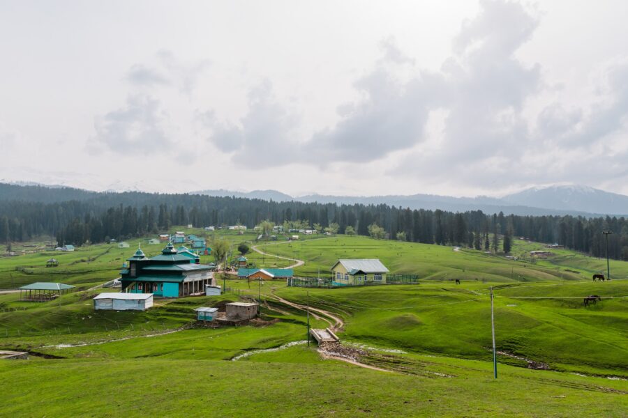
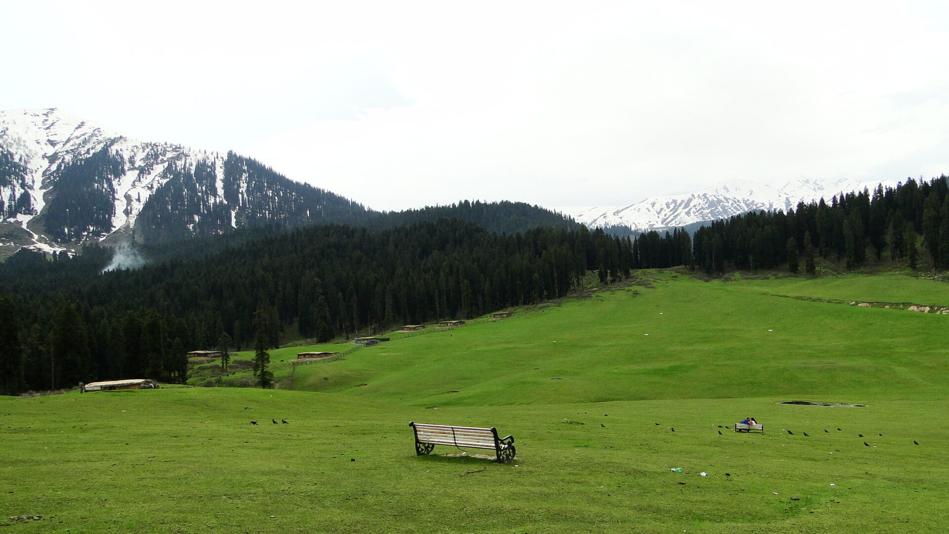
4 km from Doodhpathri centre

Pahalgam or Pahalgom is a town in Anantnag district of the Indian union territory of Jammu and Kashmir. It is located on the banks of Lidder River at an altitude of 2,200Β m (7,200Β ft) in the Vale of Kashmir. Pahalgam …

Tral Wildlife Sanctuary

4.1 km from Doodhpathri centre

Tral Wildlife Sanctuary is a protected area in Tral town in the Pulwama district of the Indian Union Territory of Jammu and Kashmir. It is located about 26 km from Pulwama town, the district headquarter and 44 km from…

Gufkral

8.2 km from Doodhpathri centre

Gufkral is a site inhabited by potters who utilize the caves. Caves and archeological site are located at Banmir village in the Tral Tehsil of the Pulwama District, in the Kashmir Valley of Jammu and Kashmir, India. T…

Tral

8.2 km from Doodhpathri centre

Tral is a town, sub-district, and a notified area committee in the Pulwama district of the Indian state of Jammu and Kashmir. The town is situated at a distance of 40 kilometres (25Β mi) from the summer capital, Srinag…

Hotels & food in Doodhpathri

Stay

Srichan Resorts

Srichan Resorts, NH501, Aishmuquam - 192401, Jammu and Kashmir, India

Open in Maps

Stay

Raj Palace 800rupee

Raj Palace 800rupee, NH501, Ganshibal - 192126, Jammu and Kashmir, India

Open in Maps

Comments are closed.

Treks nearby

View all

Related destinations

View all