Amarnath

Know the trail before you step on it - difficulty, permits, weather, guide need and route clarity in one place.

Challenging Monsoon
Explore Pilgrimage

Trek safety, weather & access status

Generally safe to travel Open to trek Jul–Aug

Advisory

No active alerts. Carry layers, keep emergency contacts handy and check local conditions before you set out.

Live weather

6°C Partly cloudy
  • Feels 4°C
  • 3 km/h wind
  • 99% humidity

Mountain weather changes quickly. Treat this as a planning signal, not a final safety clearance - confirm locally before you set out.

Difficulty Challenging
Max altitude 3,888 m
Distance 14 km (Baltal) one way
Duration 3 days
Best time July to August (yatra season only)
Fitness High - cold, high-altitude pilgrimage; ponies and palki available
Start point Baltal
End point Baltal
Permit required

DIY Trek Readiness: can you go self-planned?

Beginners Some experience helps
Guide Recommended
Permit Required
Fitness High - cold, high-altitude pilgrimage; ponies and palki available
Trail clarity Clear
Network on trail Poor
Max altitude 3,888 m
Best season Jul to Aug (yatra season only)
Languages Hindi, Kashmiri
How is this score calculated?

This is a DIY-readiness gauge - how do-able it is to plan and travel yourself. Destinations show it as a 0-5 DIY Score; treks & routes as a 0-10 Score (a wider scale for the extra variables they carry). Both are built from these factors:

  • SafetyLocal safety, terrain and current advisory conditions along the route.
  • Transport accessHow easily you can reach the place and move around without your own vehicle.
  • NetworkMobile signal and data coverage you can expect on the way.
  • Season reliabilityHow dependable the weather and season window is for travel.
  • Budget clarityHow predictable day-to-day costs are, with few surprises.
  • Trail / route clarityHow well-marked and easy to follow the route or trail is.
  • Stay availabilityThe choice and reliability of places to stay along the way.
  • First-timer friendlinessHow forgiving it is for a first-time independent traveller.
  • Solo / women comfortHow comfortable and safe it is for solo and women travellers.
  • Local supportAvailability of guides, hosts and on-the-ground help if you need it.
Read the full method →

Readiness verdict

  • Best forExperienced, fit trekkers comfortable at altitude
  • Not ideal forFirst-time trekkers going without any support
  • Go DIY only ifYou can manage long walking days, permits, low or no network, basic navigation and changing mountain weather.
Guide: Recommended Permit: Required Network: Little to none
Plan it yourself

The DIY deep-dive

Amarnath is at its best in July to August (yatra season only). It covers about 14 km (Baltal) one way, runs over 3 days, tops out near 3,888 m.

DIY route options

The classic route Start from Baltal and follow the standard 3-day line - the most reliable, well-trodden way to do it.
Time it by season Plan around July to August (yatra season only) for the best weather, views and open access.

What most travellers miss

  • Arrange your permit before you arrive - it gets checked on the way in, and last-minute permits are a hassle.
  • Download offline maps and share your plan first - the mobile network here is patchy to none.
  • Do not rush past Srinagar - most people treat it as a quick stop, but it is worth a slower evening.
  • Time it for July to August (yatra season only). Outside that window, snow, weather or road closures can cut access.

Where to base yourself

Baltal Trailhead base - last shops, network and gear before you set off.
Srinagar A key stop on the route - where the trek halts for the night.

DIY is the main way - this is the upgrade

Need expert help planning this trek?

Prefer not to manage permits, guide coordination, stays and route pacing yourself? We can help you turn this trek into a private, supported experience for your dates, group size and comfort level.

  • Permit and guide coordination
  • Private group support
  • Route pacing and halt planning
  • Stay, meals and local logistics
Enquire for pricing Enquire on WhatsApp

About this trek

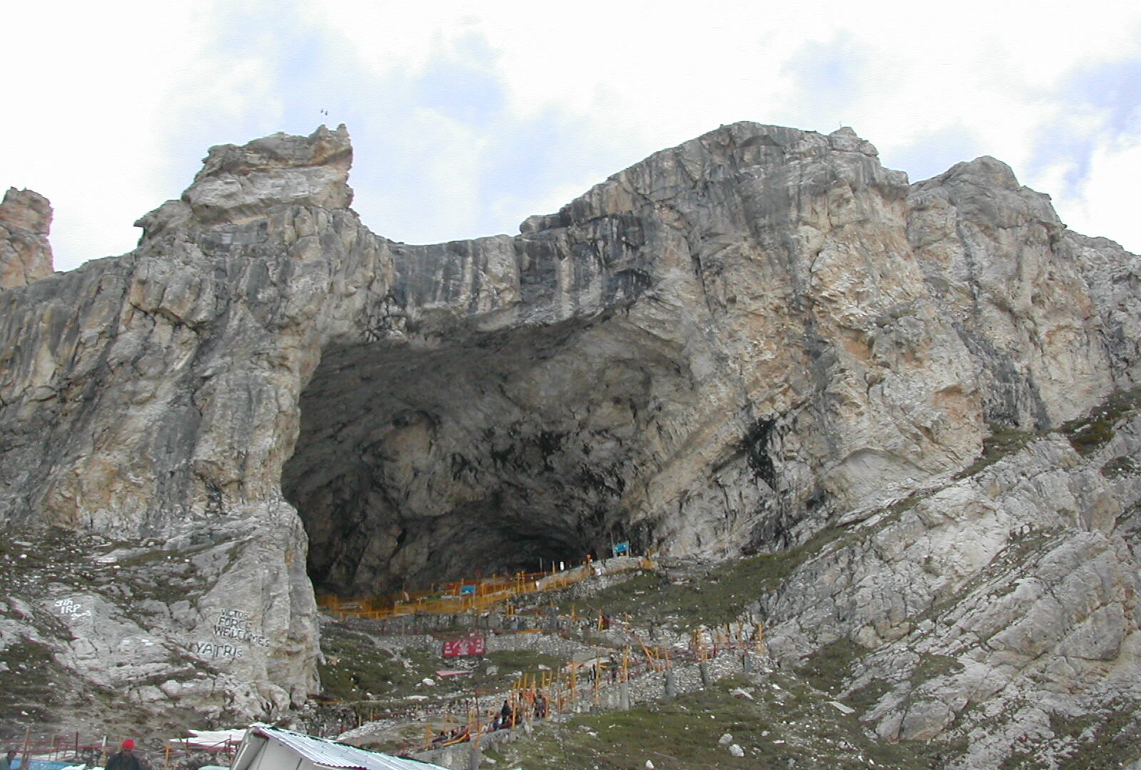
The Amarnath cave at 3,888m holds a naturally forming ice Shiva-lingam. The yatra runs for a few weeks in July to August only, by registration, from Pahalgam (longer) or Baltal (shorter). High, cold and demanding.

Essential packing list

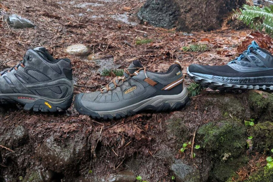
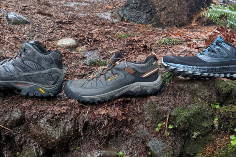
  • Trekking shoes with grip
  • Warm base layer + fleece
  • Down jacket / warm jacket
  • Rain shell / poncho
  • Headlamp + extra batteries
  • Water bottle / hydration bladder
  • Sunglasses, cap, sunscreen
  • Personal medicines
  • Power bank
  • Offline maps
  • Cash and ID copies
  • Permit documents, if applicable

Map

Nearby route landmarks & places to know

Tap “Get directions” to open any spot straight in Google Maps.

Amarnath Temple

0.3 km from Baltal, Jammu and Kashmir centre

Amarnath Temple is a Hindu shrine located in the Pahalgam tehsil of Anantnag district of Jammu and Kashmir, India in the disputed Kashmir region. It is a cave situated at an altitude of 3,888 m (12,756 ft), about 72 k…

Mount Amarnath

1.6 km from Baltal, Jammu and Kashmir centre

Mount Amarnath is a mountain with a peak elevation of 5,186 metres (17,014 ft), in the Ganderbal district of the Indian union territory of Jammu and Kashmir, in the vicinity of Sonamarg. Amarnath Peak is part of the H…

Panchtarni

2.9 km from Baltal, Jammu and Kashmir centre

Panchtarni is a locality in Anantnag district of the Indian union territory of Jammu and Kashmir. It is a popular pilgrimage and tourist destination on the way to Amarnath Temple near the Amarnath Glacier in Himalayas…

Machoi Peak

5.5 km from Baltal, Jammu and Kashmir centre

Mechoi Peak is a mountain with a peak elevation of 17,907 ft, in Drass region of Ladakh, India. Mechoi Peak is part of the Himalaya Range, and is located between Amarnath cave and Zojila. It lies 105 km north east fro…

Machoi Glacier

5.9 km from Baltal, Jammu and Kashmir centre

The Machoi Glacier is a 9 kilometer long glacier in the Himalayan Range in Jammu and Kashmir and Ladakh, India in the disputed Kashmir region.

Zoji La

7.7 km from Baltal, Jammu and Kashmir centre

Zoji La is a high mountain pass in the Himalayas. It is located in the Ganderbal district of Jammu and Kashmir and the Kargil district of Ladakh, both union territories of India. This pass connects the Kashmir Valley …

Sind River

8 km from Baltal, Jammu and Kashmir centre

The Sind River or the Sindh River is a river in the Ganderbal district of the union territory of Jammu and Kashmir, India in the disputed Kashmir region. It is a major tributary of the Jhelum River and is 108 km long.

Stay & food planning around the trailhead

Base and stock up at the trailhead before you start; on the trail expect basic halts and simple meals - tea stops and packed snacks, with no cafe-style reliability once you set off.

Nothing sits right at Amarnath - the closest of these is about 18.9 km away. Distances are straight-line, so road time is longer in the hills.

Stay

NH1

NH1, Matayeen -, Ladakh, India

18.9 km away Open in Maps

Stay

Golden Meadow

Golden Meadow, NH1, Sonamarg -, Jammu and Kashmir, India

21.4 km away Open in Maps

Stay

NH1

NH1, Sonamarg -, Jammu and Kashmir, India

21.4 km away Open in Maps

Stay

NH1

NH1, Sonamarg -, Jammu and Kashmir, India

22.4 km away Open in Maps

Stay

NH1

NH1, Sonamarg -, Jammu and Kashmir, India

22.5 km away Open in Maps

Stay

NH1

NH1, Sonamarg -, Jammu and Kashmir, India

22.6 km away Open in Maps

Stay

NH1

NH1, Sonamarg -, Jammu and Kashmir, India

22.6 km away Open in Maps

Frequently asked questions about Amarnath

What is the best time to do the Amarnath?

The best time for the Amarnath is July to August (yatra season only).

How difficult is the Amarnath?

The Amarnath tops out near 3,888 m.

How long is the Amarnath?

It covers about 14 km (Baltal) one way and takes around 3 days.

Comments are closed.

More treks nearby

View all