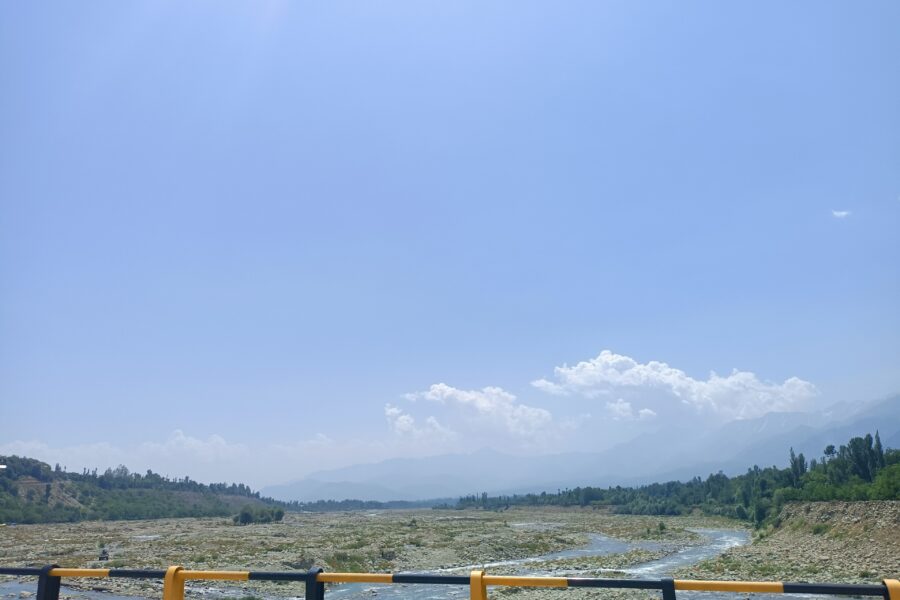
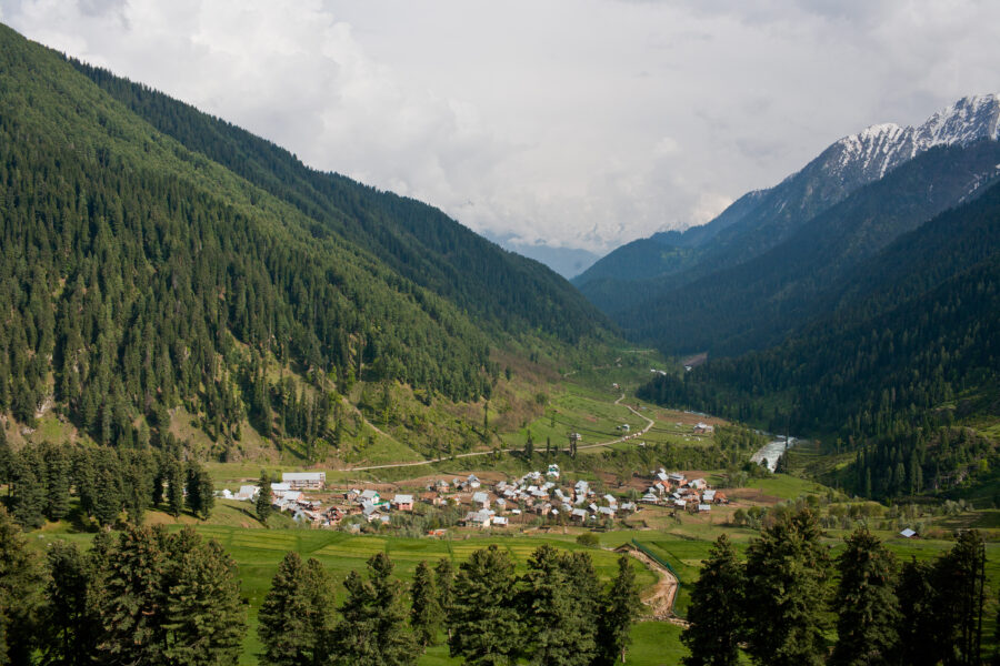
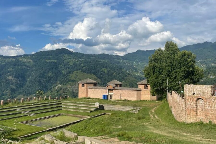
Aharbal

Don’t just visit. Understand before you go.

Kashmir

Safety & current conditions in Aharbal

Generally safe to travel

Advisory

No active alerts. Carry layers, keep emergency contacts handy and check local conditions before you set out.

Live weather

11°C Partly cloudy
  • Feels 9°C
  • 3 km/h wind
  • 70% humidity

Mountain weather changes quickly. Treat this as a planning signal, not a final safety clearance - confirm locally before you set out.

Overview

The "Niagara of Kashmir" - a powerful Veshaw-river waterfall crashing through a pine gorge in Kulgam, the trailhead for the high Kousarnag lake and a calm south-Kashmir base.

DIY Snapshot

DIY difficulty Easy
Best for Slow travel, Nature
Ideal days 2 days
Best season Apr to Oct
Budget β‚Ή5,000-β‚Ή9,000
Local transport Moderate
Internet Patchy
Safety comfort High
Languages Kashmiri, Urdu, Hindi

DIY is the main way - this is the upgrade

Want expert help adapting this plan?

Prefer a custom version of this trip? We can help you turn this DIY plan into a private, flexible experience for your dates, pace, comfort and group size.

  • Custom route planning
  • Stay and area recommendations
  • Private group support
  • Local expert guidance
Enquire for pricing Enquire on WhatsApp

How to reach

  • Nearest airport Srinagar (SXR), ~75 km / ~2.5 hours.
  • Nearest railway station Anantnag or Qazigund railhead ~40 km.
  • Bus & road hub Buses to Kulgam, then a local taxi to Aharbal.
  • Taxis & local transport Private taxis from Kulgam or Srinagar.
  • Road access & best route Via Kulgam; the last stretch is a forested hill road.

Things to do & travel tips

  • A strong half-day from Srinagar, or a quiet overnight at the JKTDC huts.
  • The waterfall is the trailhead for the high Kousarnag lake - guides available locally.
  • Carry cash; limited ATMs near Kulgam.
  • Footpaths near the falls get slippery - wear grippy shoes.

Map

Curated places to visit in Aharbal

Tap β€œGet directions” to open any spot straight in Google Maps.

Hirpora

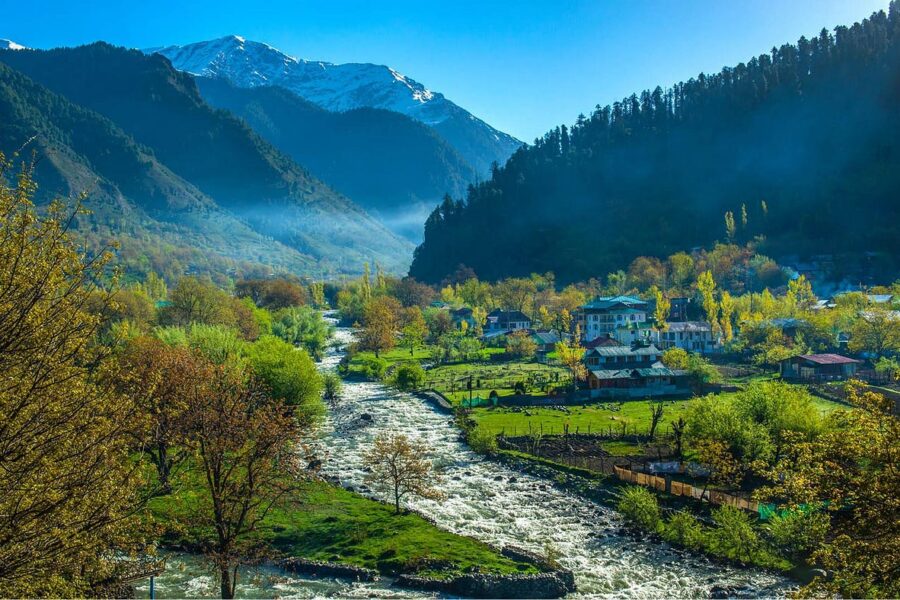
3.7 km from Aharbal centre

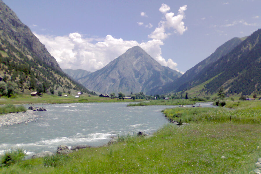
Hirpora is a village, near Shopian town in the Shopian district in the Indian union territory of Jammu and Kashmir. It is the second largest village in the district, after Devepora. It is situated on the Mughal Road, …

Reshnagri

5.6 km from Aharbal centre

Reshnagri is a village located in Shopian district of Indian union territory of Jammu and Kashmir. Reshnagri is the combination of two Sanskrit words "Resh" (priest) and "nagri" (land) which means the land of priests.…

Amshipora

6.3 km from Aharbal centre

Amshipora or Amshi Pora is a village situated in Shopian district of Jammu and Kashmir, India.

Nowgam, Anantnag

7.5 km from Aharbal centre

Nowgam is a major village located in the Shangus tehsil in Anantnag district of the Indian union territory of Jammu and Kashmir. It is located 11Β km (6.8Β mi) east of Anantnag and 74Β km (46Β mi) south of the Srinagar, t…

Durhama

8.6 km from Aharbal centre

Durhama or Durhoam is a small village in Baramulla district in the Indian union territory of Jammu and Kashmir. It is about 20Β km from district headquarters Baramulla, 13Β km from the apple town Sopore and 50Β km from B…

Shopian

9 km from Aharbal centre

Shopian, known as Shupyan in Kashmiri, is an administrative division of the Shopian district. It is located in the southern part of the Kashmir Valley in Jammu and Kashmir, India.

Chiranbal

9.8 km from Aharbal centre

Chiranbal is the largest sub-alpine meadow in the Kashmir Valley, located in the Kulgam district of Jammu and Kashmir, India. Situated at an altitude of approximately 2,595 metres, it is characterized by its vast emer…

Hotels & food in Aharbal

Stay

JKTDC Huts

JKTDC Huts, Kausar nag, Khazanibal -, Jammu and Kashmir, India

Open in Maps

Comments are closed.

Treks nearby

View all

Related destinations

View all