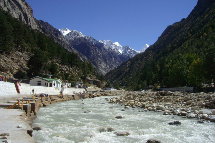
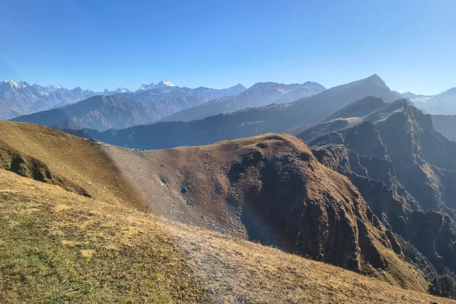
Bandarpunch
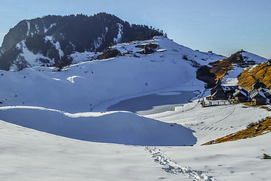
2 km from Gangotri centre
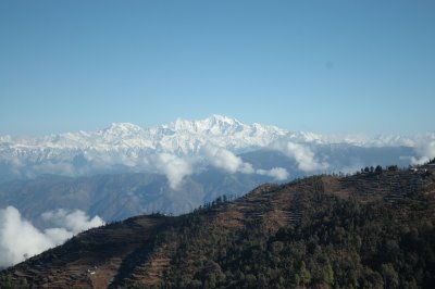
Bandarpunch is a mountain massif in the Garhwal Himalaya in Uttarakhand, India. The massif has 3 peaks: White Peak, also called Banderpunch II, to the west above Yamunotri; almost 5 km east is Bandarpunch main peak or…