Kedartal Trek

Know the trail before you step on it - difficulty, permits, weather, guide need and route clarity in one place.

Trek safety, weather & access status

Generally safe to travel Open to trek May–Jun, Sep–Oct

Advisory

No active alerts. Carry layers, keep emergency contacts handy and check local conditions before you set out.

Live weather

Live weather isn't available for this spot right now. Check IMD or a local forecast before you travel.

Max altitude 4,750 m
Distance 36 km
Duration 5 days
Best time May to June, September to October
Fitness High - steep moraine and exposed sections
Start point Gangotri
End point Gangotri
Permit required

DIY Trek Readiness: can you go self-planned?

Beginners Some experience helps
Guide Recommended
Permit Required
Fitness High - steep moraine and exposed sections
Trail clarity Moderate
Network on trail None
Max altitude 4,750 m
Best season May–Jun, Sep–Oct
Languages Hindi, Garhwali

Readiness verdict

  • Best forExperienced, fit trekkers comfortable at altitude
  • Not ideal forFirst-time trekkers going without any support
  • Go DIY only ifYou can manage long walking days, permits, low or no network, basic navigation and changing mountain weather.
Guide: Recommended Permit: Required Network: None on trail
Plan it yourself

The DIY deep-dive

DIY route options

The classic route Start from Gangotri and follow the standard 5-day line - the most reliable, well-trodden way to do it.
Self-guided or with a guide Do it solo with the offline Gaia GPS trail file, or hire a local guide at Gangotri for the navigation and logistics.

What most travellers miss

  • Arrange your permit before you arrive - it gets checked on the way in, and last-minute permits are a hassle.
  • Download offline maps and share your plan first - the mobile network here is patchy to none.
  • Do not rush past Bhoj Kharak - most people treat it as a quick stop, but it is worth a slower evening.
  • Time it for May to June, September to October. Outside that window, snow, weather or road closures can cut access.

Where to base yourself

Gangotri Trailhead base - last shops, network and gear before you set off.
Bhoj Kharak A key stop on the route - where the trek halts for the night.
Kedar Kharak A key stop on the route - where the trek halts for the night.

DIY is the main way - this is the upgrade

Need expert help planning this trek?

Prefer not to manage permits, guide coordination, stays and route pacing yourself? We can help you turn this trek into a private, supported experience for your dates, group size and comfort level.

  • Permit and guide coordination
  • Private group support
  • Route pacing and halt planning
  • Stay, meals and local logistics
Enquire for pricing Enquire on WhatsApp

About this trek

Kedartal is a high glacial lake at 4,750m, mirroring the fearsome spire of Thalay Sagar. The trail from Gangotri is short but punishing – loose moraine, exposed traverses and a big altitude gain. A Gangotri National Park permit is required.

Essential packing list

  • Trekking shoes with grip
  • Warm base layers and fleece
  • Down jacket
  • Rain shell / poncho
  • Headlamp with extra batteries
  • Water bottle or hydration bladder
  • Sunglasses, cap and sunscreen
  • Personal medicines
  • Power bank
  • Offline maps
  • Cash and ID copies
  • Permit documents

Map

Nearby route landmarks & places to know

Tap “Get directions” to open any spot straight in Google Maps.

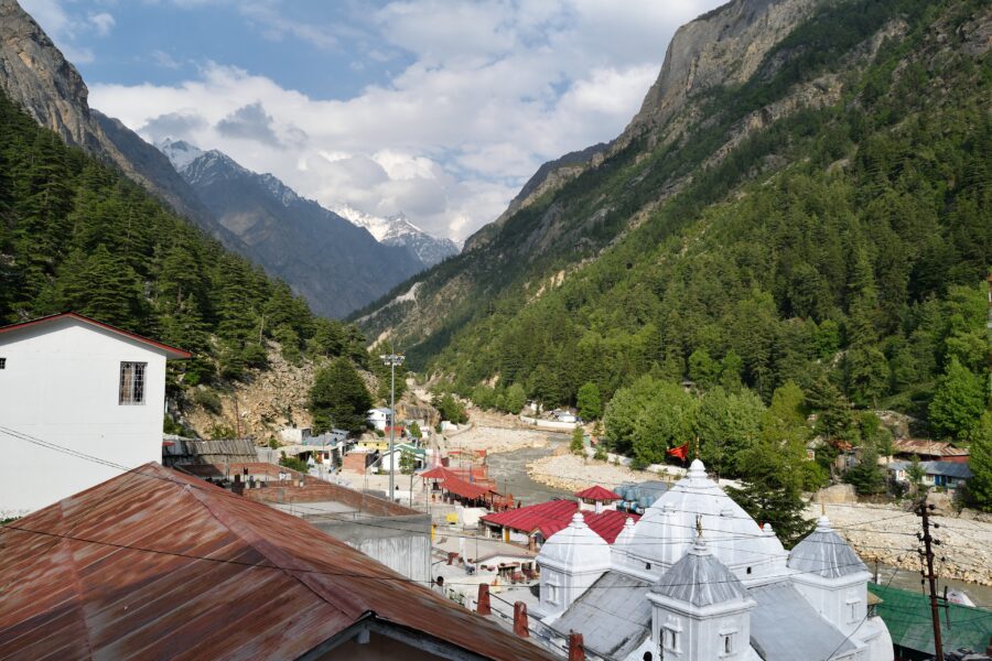
Geographical centre of Earth

0 km from Gangotri, Uttarakhand centre

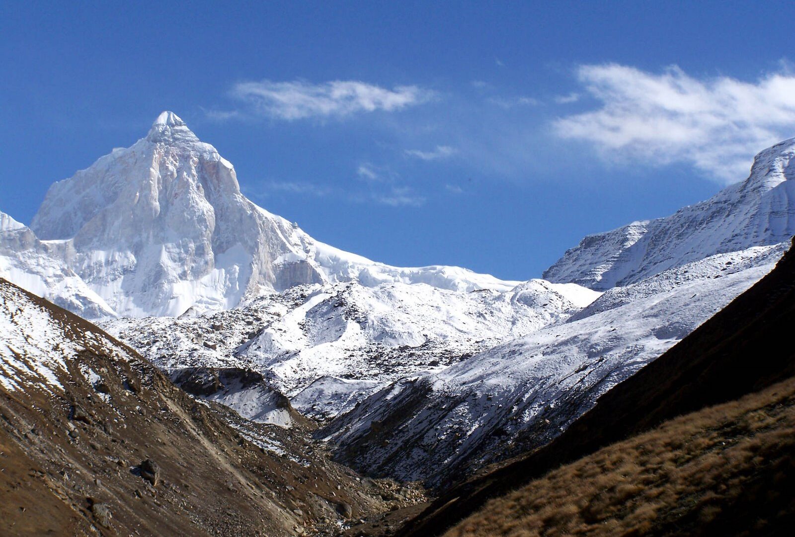
The geographical centre of Earth is the geometric centre of all land surfaces on Earth. Earth's land is unevenly distributed across the surface of Earth, making the calculation of the center a challenge that has been …

Gulf of Guinea

0 km from Gangotri, Uttarakhand centre

The Gulf of Guinea is the northeasternmost part of the tropical Atlantic Ocean from Cape Lopez in Gabon, north and west to Cape Palmas in Liberia. Null Island, defined as the intersection of the Equator and Prime Meri…

Gabal El-Zeit Wind Farm

0 km from Gangotri, Uttarakhand centre

Located on Egypt’s Red Sea coast in the Red Sea Governorate, Kilo 118 south of Ras Gharib, the Gabal El-Zeit Wind Farm spans roughly 100 km². It comprises about 300 wind turbines with a combined capacity of 580 MW, ma…

Null Island

0 km from Gangotri, Uttarakhand centre

Null Island is the location at zero degrees latitude and zero degrees longitude, i.e., where the prime meridian and the equator intersect in the Atlantic Ocean near the Gulf of Guinea. Since there is no landmass locat…

Stay & food planning around the trailhead

Base and stock up at the trailhead before you start; on the trail expect basic halts and simple meals - tea stops and packed snacks, with no cafe-style reliability once you set off.

Stay

Guest house

Guest house, NH34, Gangotri -, Uttarakhand, India

Open in Maps

Stay

Cherbasa

Cherbasa, Bhatwari, India

Open in Maps

Comments are closed.

More treks nearby

View all

Travel guides related to Kedartal Trek

View all