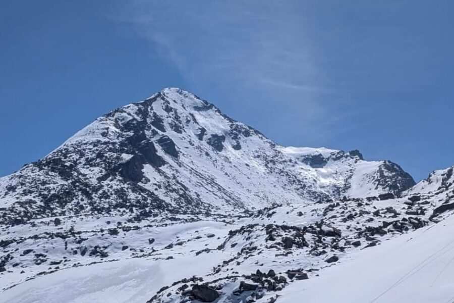
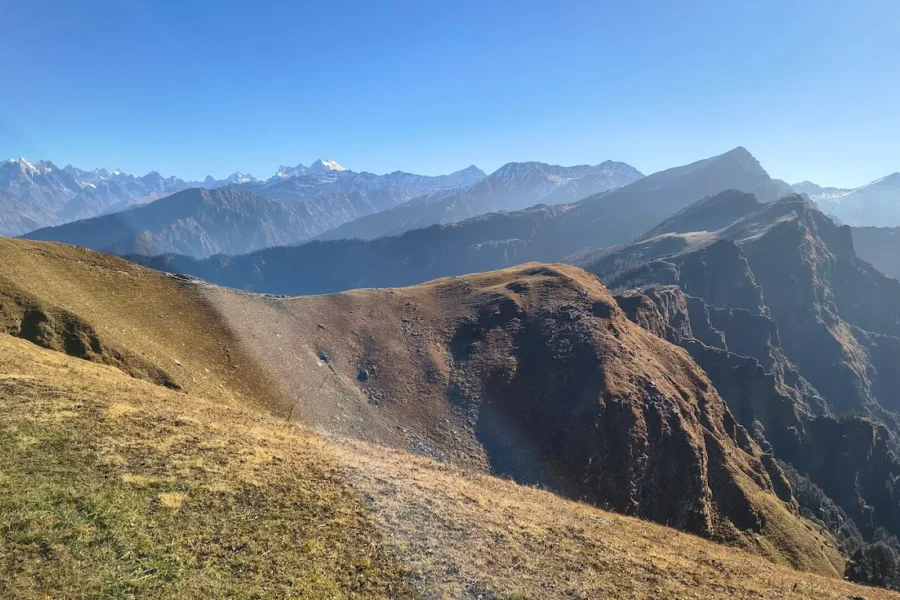
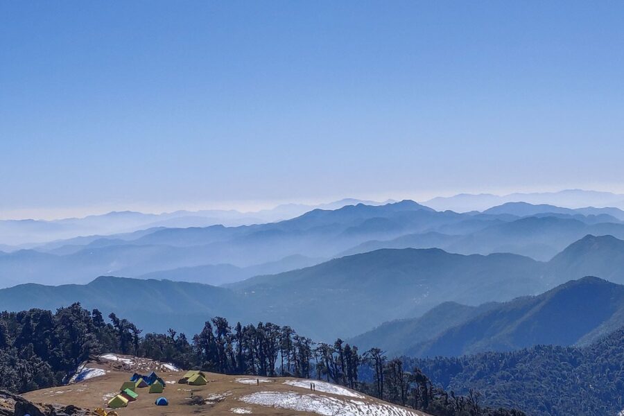
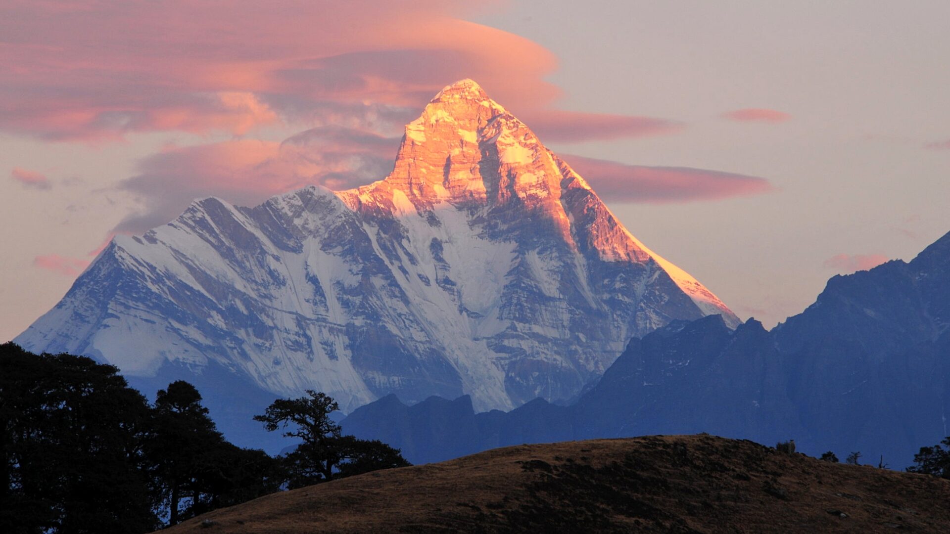
Pangarchulla Peak Trek

Know the trail before you step on it - difficulty, permits, weather, guide need and route clarity in one place.

Trek safety, weather & access status

Generally safe to travel Open to trek Mar–Jun

Advisory

No active alerts. Carry layers, keep emergency contacts handy and check local conditions before you set out.

Live weather

-11°C Snow
  • Feels -15°C
  • 3 km/h wind
  • 92% humidity

Mountain weather changes quickly. Treat this as a planning signal, not a final safety clearance - confirm locally before you set out.

Max altitude 4,575 m
Distance 32 km
Duration 5 days
Best time April to June, December to March
Fitness High - a long summit day on boulders and snow
Start point Joshimath
End point Joshimath
No permit needed

DIY Trek Readiness: can you go self-planned?

Beginners Some experience helps
Guide Recommended
Permit Not needed
Fitness High - a long summit day on boulders and snow
Trail clarity Moderate
Network on trail Patchy
Max altitude 4,575 m
Best season Mar–Jun
Languages Hindi, Garhwali

Readiness verdict

  • Best forExperienced, fit trekkers comfortable at altitude
  • Not ideal forFirst-time trekkers going without any support
  • Go DIY only ifYou can manage long walking days, basic navigation and changing mountain weather.
Guide: Recommended Permit: Not needed Network: Patchy
Plan it yourself

The DIY deep-dive

DIY route options

The classic route Start from Joshimath and follow the standard 5-day line - the most reliable, well-trodden way to do it.
Self-guided or with a guide Do it solo with the offline Gaia GPS trail file, or hire a local guide at Joshimath for the navigation and logistics.

What most travellers miss

  • Download offline maps and share your plan first - the mobile network here is patchy to none.
  • Do not rush past Khullara - most people treat it as a quick stop, but it is worth a slower evening.
  • Time it for April to June, December to March. Outside that window, snow, weather or road closures can cut access.
  • Use the acclimatisation day in full - fast itineraries are what catch people out at altitude here.

Where to base yourself

Gulling Trailhead base - last shops, network and gear before you set off.
Khullara A key stop on the route - where the trek halts for the night.
Joshimath A key stop on the route - where the trek halts for the night.

DIY is the main way - this is the upgrade

Need expert help planning this trek?

Prefer not to manage permits, guide coordination, stays and route pacing yourself? We can help you turn this trek into a private, supported experience for your dates, group size and comfort level.

  • Permit and guide coordination
  • Private group support
  • Route pacing and halt planning
  • Stay, meals and local logistics
Enquire for pricing Enquire on WhatsApp

About this trek

Pangarchulla is a true summit trek from the Kuari Pass region above Joshimath – oak forest, the Khullara meadows and a tough final push over boulders and snow to a peak with a 360-degree wall of Garhwal giants: Nanda Devi, Dronagiri, Kamet and Hathi-Ghoda.

Essential packing list

  • Trekking shoes with grip
  • Warm base layers and fleece
  • Down jacket
  • Rain shell / poncho
  • Headlamp with extra batteries
  • Water bottle or hydration bladder
  • Sunglasses, cap and sunscreen
  • Personal medicines
  • Power bank
  • Offline maps
  • Cash and ID copies
  • Permit documents

Map

Nearby route landmarks & places to know

Tap β€œGet directions” to open any spot straight in Google Maps.

Meru Peak

0.2 km from Joshimath, Uttarakhand centre

Meru Peak is a mountain located in the Garhwal Himalayas, in the state of Uttarakhand in India. The 6,660-metre (21,850Β ft) peak lies between Thalay Sagar and Shivling, and has some highly challenging routes. The name…

Bhartekunta

2.6 km from Joshimath, Uttarakhand centre

Bhartekunta is a mountain of the Garhwal Himalaya in Uttarakhand India.The elevation of Bhartekunta is 6,578 metres (21,581Β ft) and its prominence is 280 metres (919Β ft). It is 69th highest located entirely within the…

Shivling (mountain)

3.2 km from Joshimath, Uttarakhand centre

Shivling is a mountain in the Gangotri Group of peaks in the western Garhwal Himalaya, near the snout of the Gangotri Glacier, one of the biggest glaciers in the Himalayas, and Tapovan, a meadow, both being also popul…

Bhrigupanth

3.3 km from Joshimath, Uttarakhand centre

Bhrigupanth is a mountain of Garhwal Himalaya in Uttarakhand, India. It stands at 6,772 metres (22,218Β ft). It is the 38th highest located entirely within Uttarakhand. Nanda Devi is the highest mountain in this catego…

Thalay Sagar

3.6 km from Joshimath, Uttarakhand centre

Thalay Sagar is a mountain in the Gangotri Group of peaks in the western Garhwal Himalayas, on the main ridge that lies south of the Gangotri Glacier. It lies in the northern Indian state of Uttarakhand, 10 kilometres…

Manda III

5.3 km from Joshimath, Uttarakhand centre

Manda III is a mountain of the Garhwal Himalaya in Uttarakhand India. The elevation of Manda III is 6,529 metres (21,421Β ft) and its prominence is 450 metres (1,476Β ft). It is joint 81st highest located entirely withi…

Kirti Stambh (mountain)

5.4 km from Joshimath, Uttarakhand centre

Kirti Stambh is a mountain of the Garhwal Himalaya in Uttarakhand, India. The elevation of Kirti Stambh is 6,270 metres (20,571Β ft) and its prominence is 100 metres (328Β ft). It is 128th highest located entirely withi…

Tapovana

6.5 km from Joshimath, Uttarakhand centre

Tapovana (Sanskrit) comes from the two root words tapas, meaning 'penance' and by extension 'religious mortification' and 'austerity', and more generally 'spiritual practice', and vana, meaning 'forest' or 'thicket'. …

Manda II

7.4 km from Joshimath, Uttarakhand centre

Manda II is a mountain of the Garhwal Himalaya in Uttarakhand India also called Manda south. The elevation of Manda II is 6,568 metres (21,549Β ft) and its prominence is 583 metres (1,913Β ft). It is joint 71st highest …

Gomukh

8 km from Joshimath, Uttarakhand centre

Gomukh, also known as "Gaumukh" or "Gomukhi", is the terminus or snout of the Gangotri Glacier and the source of the Bhagirathi River, one of the primary headstreams of the Ganga River. The word Gomukh/Gaumukh literal…

Kedarnath Glacier

8.2 km from Joshimath, Uttarakhand centre

Kedarnath Glacier is located in Garhwal Himalaya mountain ranges, in the state of Uttarakhand, India.

Kedarnath (mountain)

8.7 km from Joshimath, Uttarakhand centre

Kedarnath and Kedarnath Dome are two mountains in the Gangotri Group of peaks in the western Garhwal Himalaya in Uttarakhand state, India. Kedarnath (Main) lies on the main ridge that lies south of the Gangotri Glacie…

Stay & food planning around the trailhead

Base and stock up at the trailhead before you start; on the trail expect basic halts and simple meals - tea stops and packed snacks, with no cafe-style reliability once you set off.

Stay

GMVN

GMVN, Kalindi Pass, -, Uttarakhand, India

Open in Maps

Stay

Cherbasa

Cherbasa, Bhatwari, India

Open in Maps

Comments are closed.

More treks nearby

View all

Travel guides related to Pangarchulla Peak Trek

View all