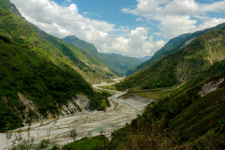
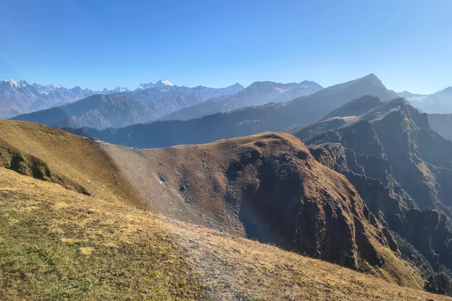
Milam Glacier Trek

Difficult Autumn
Difficulty Difficult
Max altitude 3,870 m
Distance 54 km
Duration 6โ€“7 days
Best time May to June, September to October
Fitness Good โ€” long days at altitude
Start point Munsiyari
End point Milam Glacier snout
Permit required

Fully organized by HikiePsyche

Want us to plan & run your whole Milam Glacier Trek experience?

A private, all-inclusive experience โ€” planned, booked and led by HikiePsyche. You just show up.

  • Travel & transfers
  • Stays
  • All meals
  • Curated experiences
  • Local expert guide

Minimum 4 people for a private group experience.

Enquire for pricing Enquire on WhatsApp Contact us

About this trek

The Milam Glacier trek follows the old Indo-Tibetan trade route up the Johar valley from Munsiyari, past the once-prosperous Bhotia village of Milam to the snout of the Milam Glacier at about 3,870 m โ€” the source of the Goriganga river. It is one of Kumaon’s grandest, least-crowded treks.

The trail passes deep gorges, the Bugdiar and Rilkot halts and stone villages, with the giant east face of Nanda Devi East dominating the head of the valley. As a border area, it needs an Inner Line Permit.

Packing list

  • Trekking shoes
  • Warm layers + down jacket
  • Rain shell
  • Headlamp
  • Water bottle
  • Sunscreen, cap & sunglasses

Safety notes

Acclimatise properly and carry warm layers year-round. Border-area routes need an Inner Line Permit and a registered guide.

Map

Stays & food near the trailhead

Stay

Guest house

Guest house, NH109K, Jainti Band - 262554, Uttarakhand, India

Open in Maps

Stay

Johar hilltop

Johar hilltop, NH109K, Munsyari - 262554, Uttarakhand, India

Open in Maps

Stay

Sahara Homestay

Sahara Homestay, NH109K, Munsyari - 262554, Uttarakhand, India

Open in Maps

Stay

Dhaba shelter

Dhaba shelter, Lilam to Martoli, Buin -, Uttarakhand, India

Open in Maps

Comments are closed.

More treks nearby

View all

Travel guides

View all