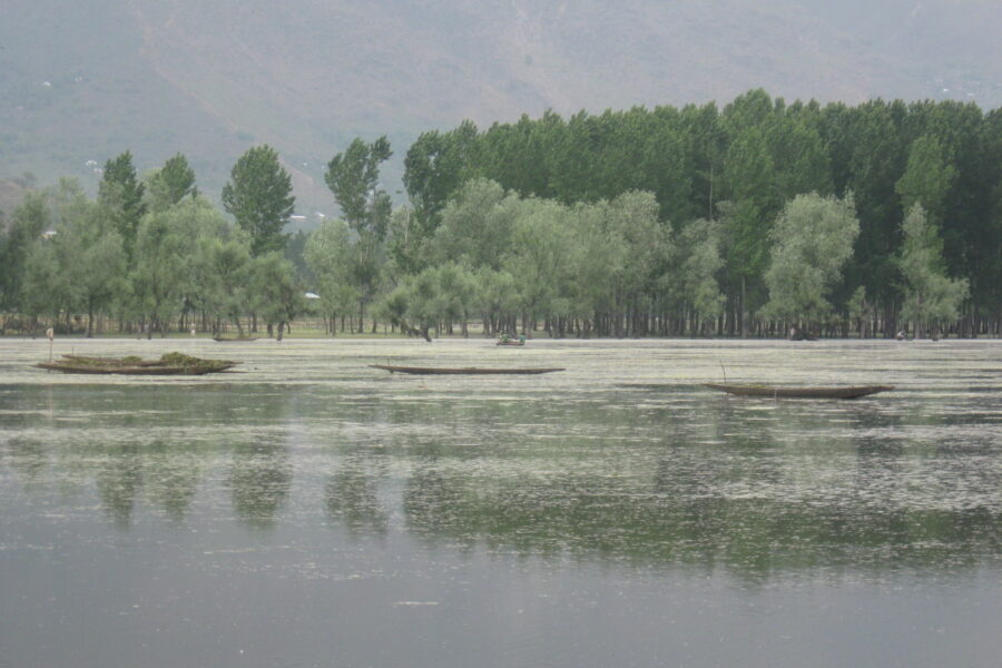
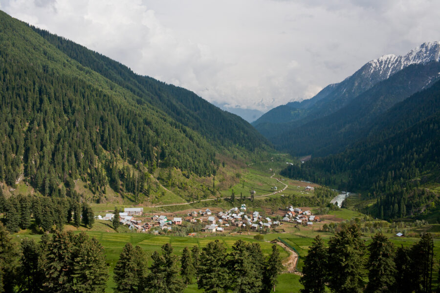
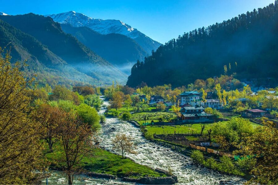
Lolab Valley

Don’t just visit. Understand before you go.

Kashmir

Safety & current conditions in Lolab Valley

Generally safe to travel

Advisory

No active alerts. Carry layers, keep emergency contacts handy and check local conditions before you set out.

Live weather

13°C Partly cloudy
  • Feels 12°C
  • 2 km/h wind
  • 81% humidity

Mountain weather changes quickly. Treat this as a planning signal, not a final safety clearance - confirm locally before you set out.

Overview

A long oval of paddy, walnut groves and pine ridges in far-north Kupwara - the Lolab and nearby Bungus valleys, a frontier-Kashmir landscape that sees almost no outside visitors.

DIY Snapshot

DIY difficulty Easy
Best for Slow travel, Nature, Culture
Ideal days 2 days
Best season Apr to Oct
Budget β‚Ή6,000-β‚Ή10,000
Local transport Moderate
Internet Poor
Safety comfort High
Languages Kashmiri, Urdu, Hindi

DIY is the main way - this is the upgrade

Want expert help adapting this plan?

Prefer a custom version of this trip? We can help you turn this DIY plan into a private, flexible experience for your dates, pace, comfort and group size.

  • Custom route planning
  • Stay and area recommendations
  • Private group support
  • Local expert guidance
Enquire for pricing Enquire on WhatsApp

How to reach

  • Nearest airport Srinagar (SXR), ~120 km / ~3.5 hours.
  • Nearest railway station Nearest railhead Sopore/Baramulla ~60 km; no rail in the valley.
  • Bus & road hub Buses to Kupwara bus stand, then a local taxi into the Lolab.
  • Taxis & local transport Taxis from Kupwara or Sopore; share-sumos run on main routes.
  • Road access & best route Via Kupwara; this is a frontier belt, so carry ID and avoid night driving.

Things to do & travel tips

  • Carry a photo ID - there are security checks in Kupwara district.
  • Homestays are basic and few; book ahead and carry cash.
  • Combine with the Kalaroos caves and, road permitting, the Bungus meadow.
  • Mobile network is poor once you leave Kupwara town.

Map

Curated places to visit in Lolab Valley

Tap β€œGet directions” to open any spot straight in Google Maps.

Sogam Lolab

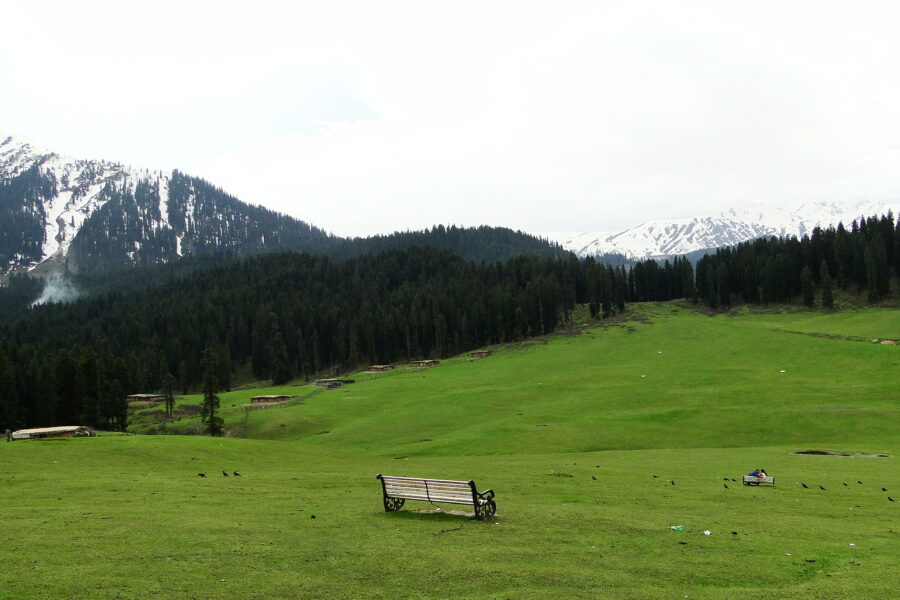
2.3 km from Lolab Valley centre

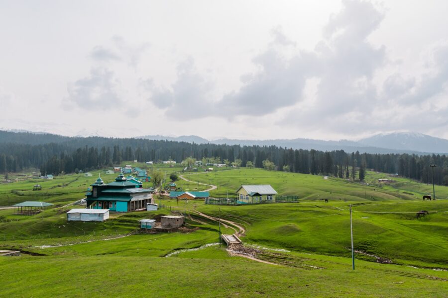
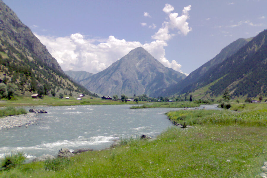
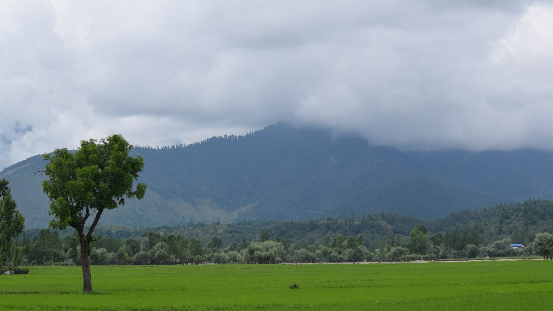
Sogam Lolab is a municipality located in Kupwara district of the Kashmir Valley, in the Indian union territory of Jammu and Kashmir. Roughly 17 km from Kupwara city, Sogam Lolab is a prominent town situated in the hea…

Tekipora

4.3 km from Lolab Valley centre

Teki Pora, commonly known as Tekipor, is a village in Kupwara district of Jammu and Kashmir, India. The village is 25Β km (16Β mi) away from Kupwara.

Wavoora

4.5 km from Lolab Valley centre

Wavoora or Wavoor is a village in the Lolab Valley in the Kupwara district of the Indian state of Jammu and Kashmir, 13 kilometres (8.1Β mi) from the district headquarters Kupwara.

Diver Anderbugh

6.5 km from Lolab Valley centre

Diver Anderbugh is a village situated in the Lolab Valley, Kupwara, Jammu and Kashmir, India. The village is combination of two places, Diver and Anderbugh. The site is connected to the village of Anderbugh. It is sit…

Kalaroos Caves

10 km from Lolab Valley centre

The Kalaroos Caves, also known as Qil-e-Roos, are an ancient network of caves located in the Lolab Valley, Kupwara district of Jammu and Kashmir, India. The site has been the subject of various unverified claims, larg…

Hotels & food in Lolab Valley

Stay

Block-3

Block-3, Jazaa Premises, Block 3, KP Road, Qazipora Patushi - 193502, Jammu and Kashmir, India

Open in Maps

Stay

Rest House

Rest House, Hafthrada Tarathpora Road, Chowkibal -, Jammu and Kashmir, India

Open in Maps

Stay

Titanic Guest House

Titanic Guest House, Jeep Track Neelum Road, Kel, Pakistan

Open in Maps

Stay

Rest House

Rest House, Jeep Track Neelum Road, Kel, Pakistan

Open in Maps

Stay

orient hotel

orient hotel, Jeep Track Neelum Road, Kel, Pakistan

Open in Maps

Stay

Valley Guest House

Valley Guest House, Neelum Valley Road, Kharigam, Pakistan

Open in Maps

Comments are closed.

Treks nearby

View all

Related destinations

View all