
Trekking shoes
Moderate trail over 3 days - you need grip and ankle support, not running shoes.
Our top pickRed Tape Ozark Hiking Shoes
Know the trail before you step on it - difficulty, permits, weather, guide need and route clarity in one place.
Acclimatise properly and carry warm layers year-round. Border-area routes need an Inner Line Permit and a registered guide.
Mountain weather changes quickly. Treat this as a planning signal, not a final safety clearance - confirm locally before you set out.
This is a DIY-readiness gauge - how do-able it is to plan and travel yourself. Destinations show it as a 0-5 DIY Score; treks & routes as a 0-10 Score (a wider scale for the extra variables they carry). Both are built from these factors:
Free on this page
Enough to decide if Ranthan Kharak Trek is right for you.
In the ready-made plan
Rather talk it through? Book a 30-minute planning call and we will go over your route, timing and budget with you.
Ranthan Kharak Trek is at its best in April to June, September to November. It covers about 24 km, runs over 3–4 days, tops out near 3,700 m.
DIY is the main way - this is the upgrade
Not sure how to stage the climb, where to halt, or what the permits ask for? We build you a custom plan for your dates, group size and fitness - you still do the trek yourself, with every detail worked out first.
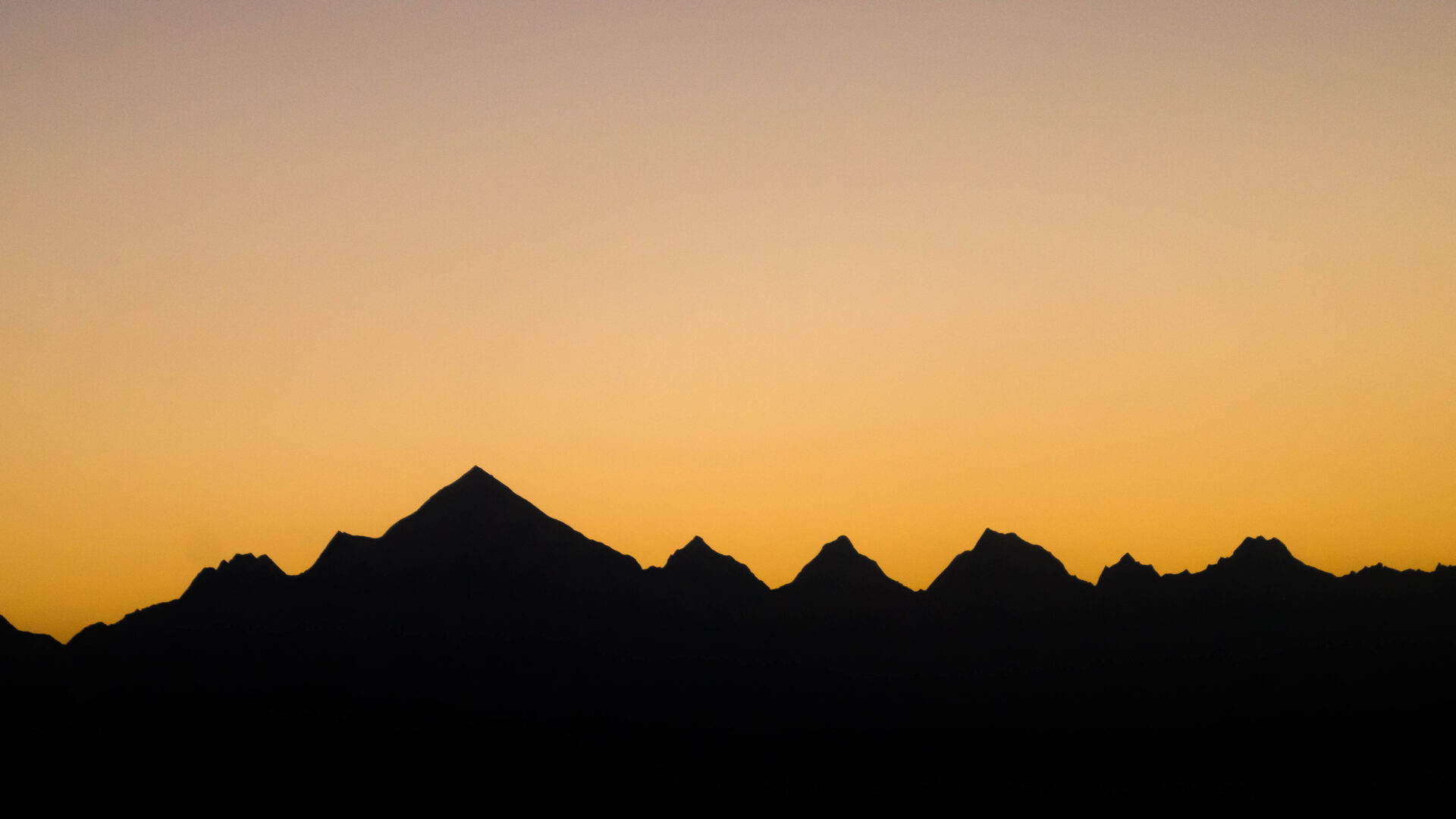
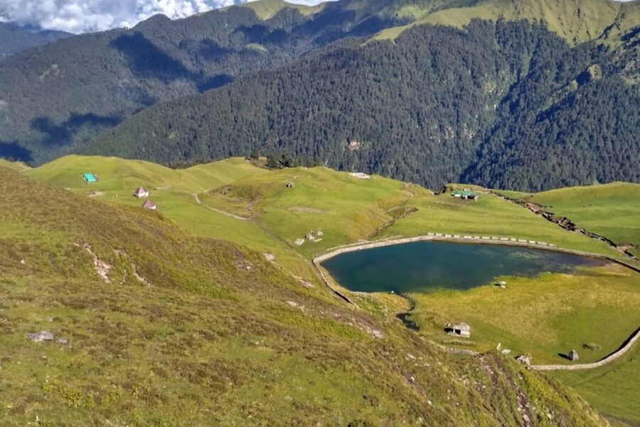
Ranthan Kharak is a beautiful, little-known alpine meadow trek above Munsiyari, climbing through oak and rhododendron forest to open grasslands at around 3,700 m. It rewards trekkers with a sweeping panorama of the Panchachuli massif, Nanda Devi East and Hardeol.
Quiet, scenic and moderate, it is a perfect 3–4 day Kumaon trek for those wanting big Himalayan views without the crowds of the popular trails.
Matched to this trek's altitude, season and length. Each card links to our full shortlist.
Trekking shoes
Moderate trail over 3 days - you need grip and ankle support, not running shoes.
Our top pickRed Tape Ozark Hiking Shoes
Snow gear
Open in the snow months - microspikes, gaiters and warm, waterproof layers.
Our top pickAYAMAYA 24-Spike Microspikes
Warm jacket
Tops out at 3,700 m, where nights fall near or below freezing even in summer.
Our top pickWildcraft Sierra Packable Husky Puffer Jacket
Rain gear
Walked in monsoon months too - a proper rain shell and pack cover matter.
Our top pickRocksport Hooded Rain Poncho
Tap “Get directions” to open any spot straight in Google Maps.
Nanda Devi Temple, NH109K, Kanti band - 262554, Uttarakhand, India
Temple, BansBAGAR, Munsiari tehsil, India
Temple, khola jane bato, Harauli -, Uttarakhand, India
Base and stock up at the trailhead before you start; on the trail expect basic halts and simple meals - tea stops and packed snacks, with no cafe-style reliability once you set off.
Book a stay Partner links
Compare prices, photos and guest reviews for stays where people base themselves.
Stay
Hotel Bala Paradise & Restaurant, NH109K, Munsyari - 262554, Uttarakhand, India
Stay
Johar hilltop, NH109K, Munsyari - 262554, Uttarakhand, India
Stay
Sahara Homestay, NH109K, Munsyari - 262554, Uttarakhand, India
Stay
Guest house, NH109K, Jainti Band - 262554, Uttarakhand, India
Stay
Dhaba shelter, Lilam to Martoli, Buin -, Uttarakhand, India
Nothing sits right at Ranthan Kharak Trek - the closest of these is about 8.0 km away. Distances are straight-line, so road time is longer in the hills.
Free trip cost calculator
The best time for the Ranthan Kharak Trek is April to June, September to November.
The Ranthan Kharak Trek tops out near 3,700 m.
It covers about 24 km and takes around 3–4 days.

 Autumn
 Autumn
 Autumn
 Autumn
 Autumn
Seasonal guides 9 min read
Are you searching for a Top five range of thrilling, stimulating, and daring winter treks? Uttarakhand is your…
Trek guides 13 min read
Are you looking for a day by day detailed daily itinerary for a trip to Chopta, Tungnath and…
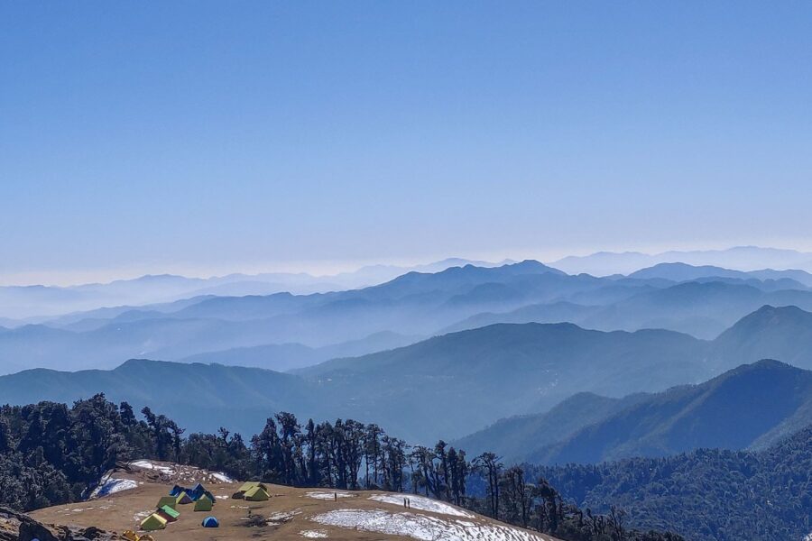
Trek guides 9 min read
One of the very few Himalayan Treks which goes to an alpine lake. Best winter trek in Uttarakhand…
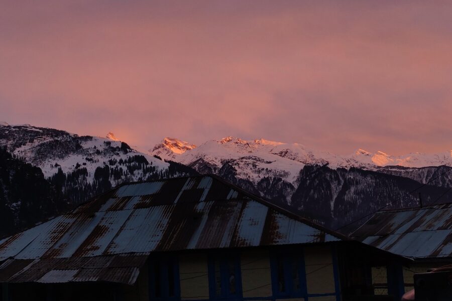
Destination guides 7 min read
The week between Christmas and New Year is the busiest travel week of the year in India. Hotels…
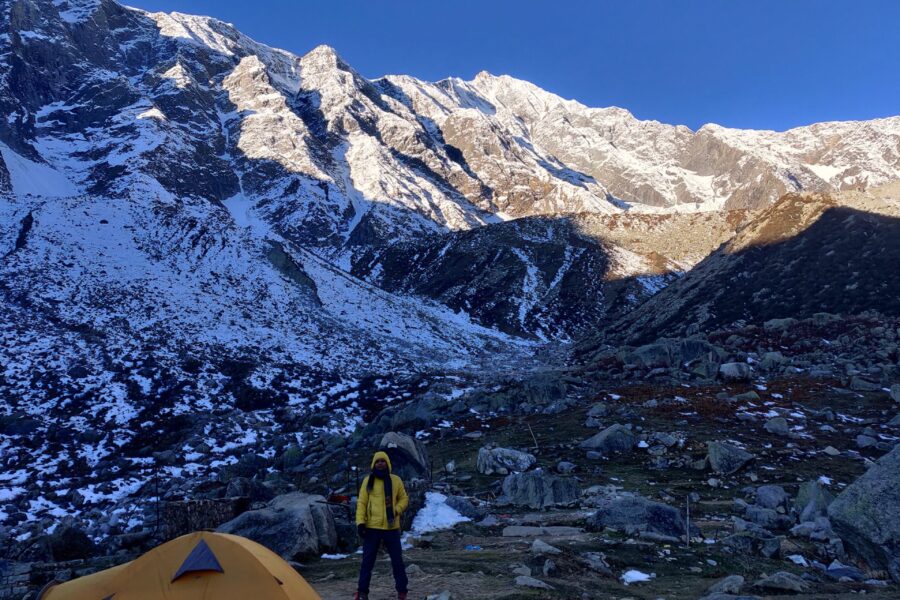
Gear reviews 4 min read
People often ask what I actually carry. This is it: the gear I own and use on my…

Destination guides 5 min read
India's famous hill stations are crowded for a reason, but they are not the only cool, green places…
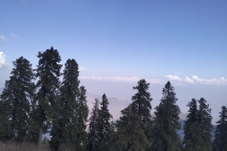
Destination guides 5 min read
From April to June, Delhi routinely crosses 40°C, and the hills to the north are the easiest escape.…
Destination guides 13 min read
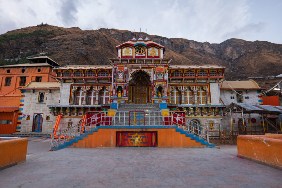
The Char Dham Yatra 2027 will take in the four Himalayan shrines of Uttarakhand: Yamunotri, Gangotri, Kedarnath and…
Photo: Suresh Karia, CC BY-SA 4.0, Wikimedia Commons