
Kedarkantha
4.1 km from Sankri, Uttarakhand centre
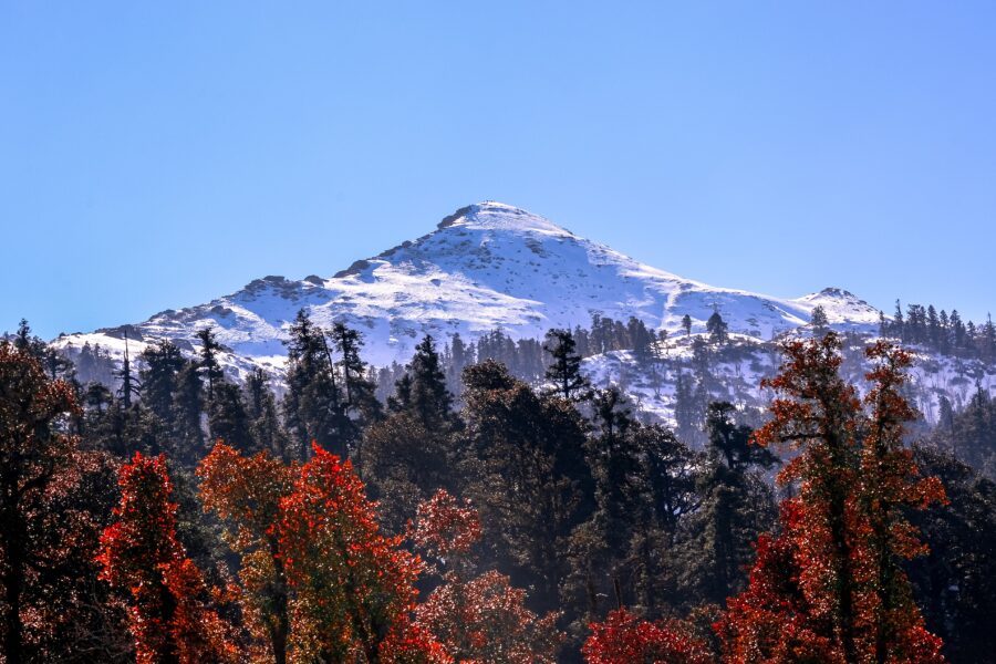
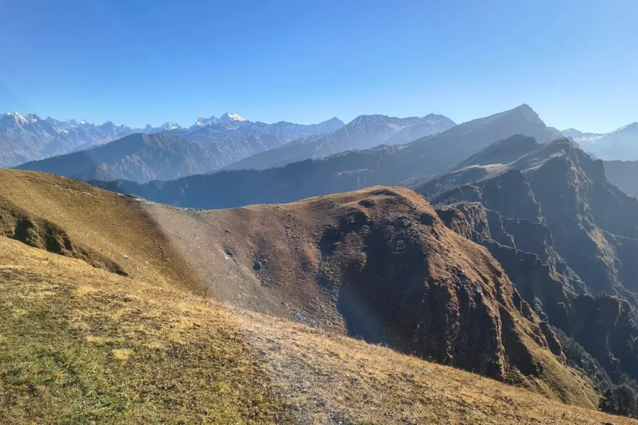
Kedarkantha is a mountain peak of the Himalayas in Uttarakhand, India. Its elevation is 12,500 ft (3,800 m). Kedarkantha is located within Govind Wildlife Sanctuary in Uttarkashi district.
Know the trail before you step on it - difficulty, permits, weather, guide need and route clarity in one place.
Off-season right now. Kedarkantha Trek is normally trekkable only Dec–Apr. Outside these months the route is often officially closed - heavy snow, no support on the trail, and forest/army checkpoints where you can be turned back. If you're going solo, confirm access with the local forest or police checkpoint first, and don't attempt it off-season without a permit and a guide.
Acclimatise properly and stay hydrated. Do not trek alone in bad weather. Start the summit push early. Carry a fully charged phone and share your live location with family. Turn back if conditions worsen.
Mountain weather changes quickly. Treat this as a planning signal, not a final safety clearance - confirm locally before you set out.
This is a DIY-readiness gauge - how do-able it is to plan and travel yourself. Destinations show it as a 0-5 DIY Score; treks & routes as a 0-10 Score (a wider scale for the extra variables they carry). Both are built from these factors:
Kedarkantha Trek is at its best in December to April. It covers about 20 km, runs over 5–6 days, tops out near 3,810 m.
DIY is the main way - this is the upgrade
Prefer not to manage permits, guide coordination, stays and route pacing yourself? We can help you turn this trek into a private, supported experience for your dates, group size and comfort level.
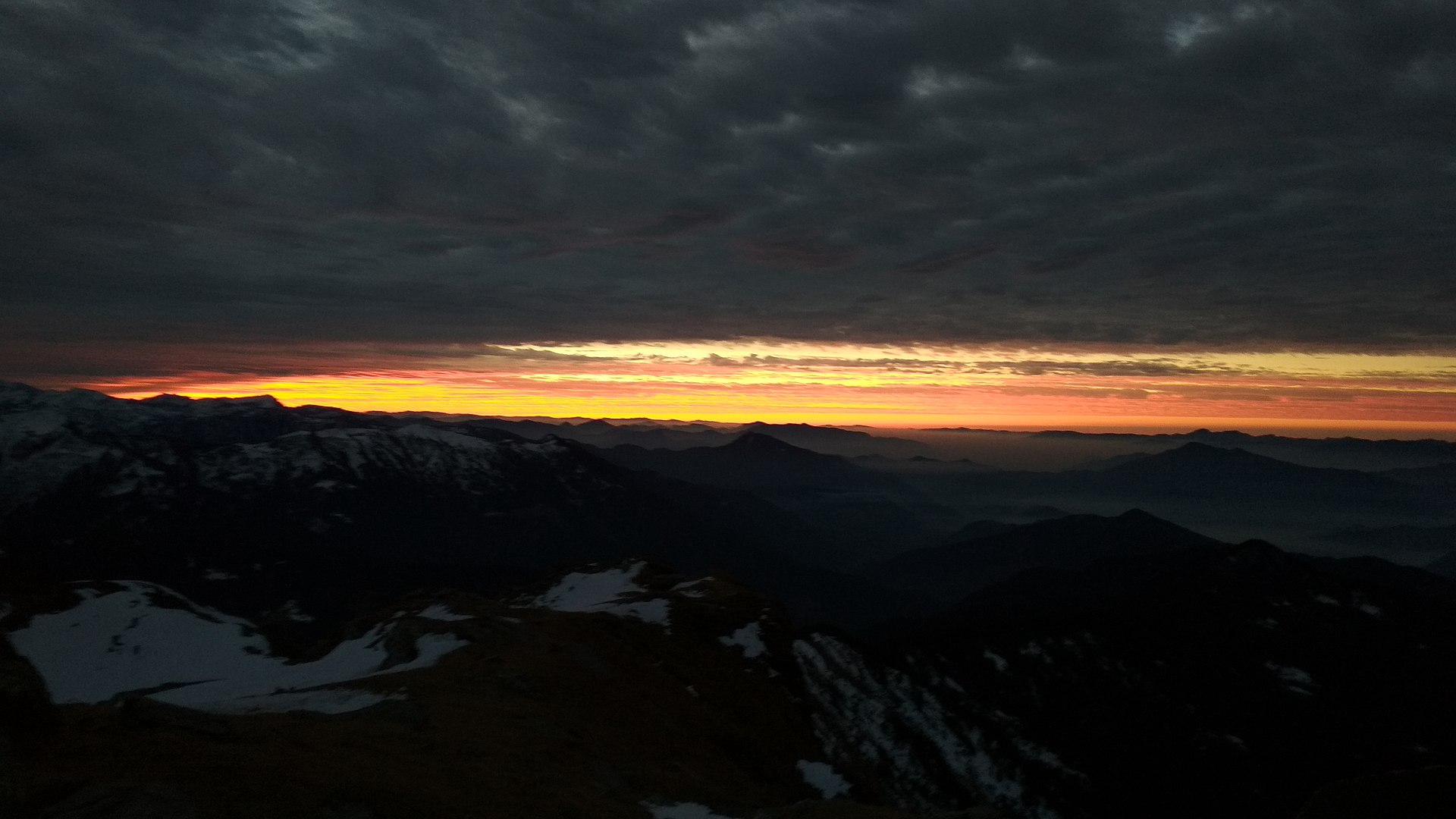
A classic beginner winter summit in Uttarakhand – snow trails, pine forest camps and a sunrise summit push.
Tap “Get directions” to open any spot straight in Google Maps.
4.1 km from Sankri, Uttarakhand centre
Kedarkantha is a mountain peak of the Himalayas in Uttarakhand, India. Its elevation is 12,500 ft (3,800 m). Kedarkantha is located within Govind Wildlife Sanctuary in Uttarkashi district.
Base and stock up at the trailhead before you start; on the trail expect basic halts and simple meals - tea stops and packed snacks, with no cafe-style reliability once you set off.
Stay
The garage food, Sankri-Taluka track, Sankri -, Uttarakhand, India
Stay
Sankri Base Camp, Sankri-Taluka track, Sankri -, Uttarakhand, India
Stay
Snow Valley, Sankri-Taluka track, Sankri -, Uttarakhand, India
Stay
GMVN Guest House, Sankri, Sankri-Taluka track, Sankri -, Uttarakhand, India
Stay
Hotel Swargarohini Palace, Sankri-Taluka track, Sankri -, Uttarakhand, India
Stay
Rana Homestay, Sankri-Taluka track, Sankri -, Uttarakhand, India
The best time for the Kedarkantha Trek is December to April.
The Kedarkantha Trek tops out near 3,810 m.
It covers about 20 km and takes around 5–6 days.
 Autumn
 Autumn
 Autumn
 Autumn
Trek guides 8 min read
Are you searching for a Top five range of thrilling, stimulating, and daring winter treks? Uttarakhand is your…
Trek guides 14 min read
Kedarnath Yatra is a pilgrimage to the holy shrine of Lord Shiva located in the Garhwal Himalayas in…
Trek guides 12 min read
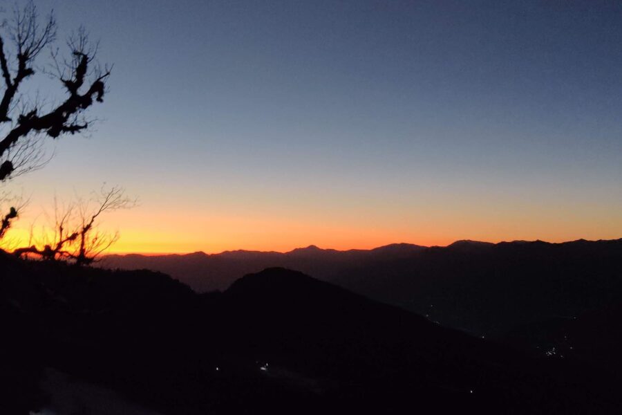
Are you looking for a day by day detailed daily itinerary for a trip to Chopta, Tungnath and…
Trek guides 9 min read
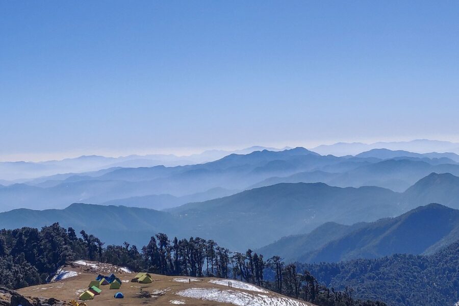
One of the very few Himalayan Treks which goes to an alpine lake. Best winter trek in Uttarakhand…

Packing guides 12 min read
When planning a vacation, the first two places that typically come to mind are Mountains or beaches. After…
Packing guides 9 min read
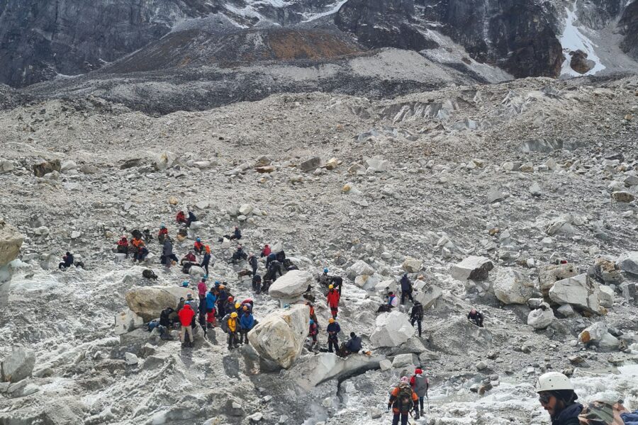
If you are wondering how to best prepare for a trek in the Himalayas when your local environment…
Packing guides 12 min read
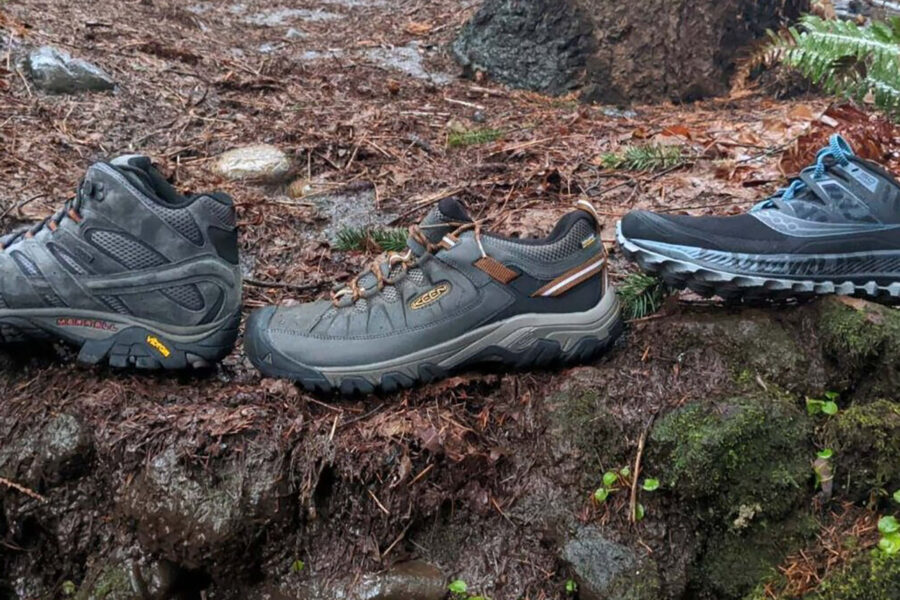
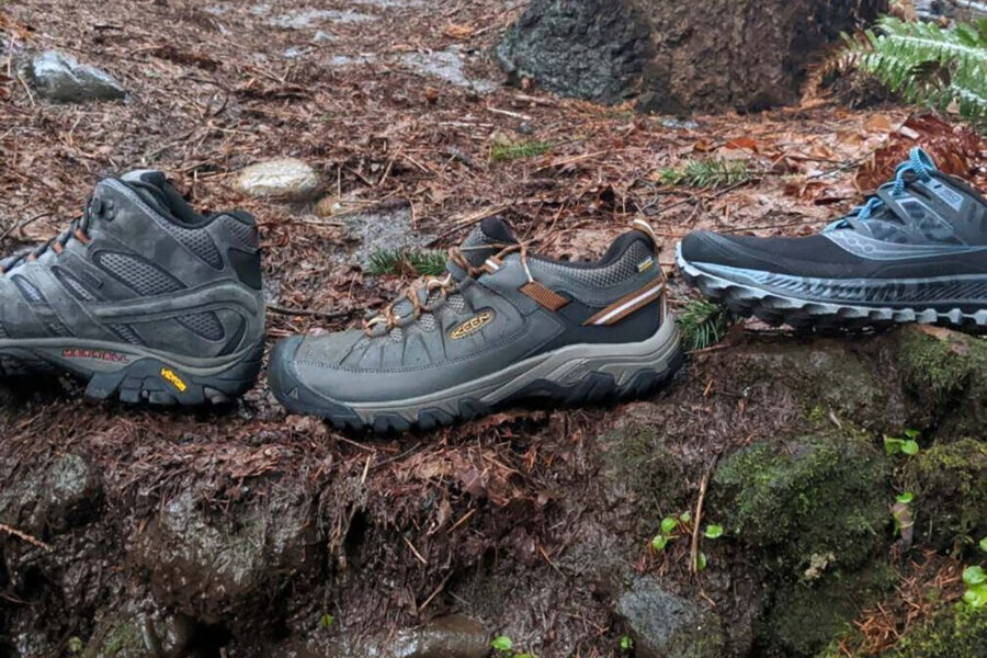
While trekking shoes and running shoes may seem similar but, trekking shoes and running shoes are two different…
Packing guides 9 min read
"Explore India's Great Outdoors with the Best Trekking Backpacks" Are you looking for the perfect backpack for your…