Generally safe to travel
Roads likely closed Jun–Oct
Seasonal access right now.
Tanglang La is usually reachable only Jun–Oct. Outside these months the roads are often closed by snow and the area can be cut off. Confirm current road status before you travel.
Advisory
No active alerts. Carry layers, keep emergency contacts handy and check local conditions before you set out.
Live weather
-16°COvercast
Feels -20°C
4 km/h wind
59% humidity
Mountain weather changes quickly. Treat this as a planning signal, not a final safety clearance - confirm locally before you set out.
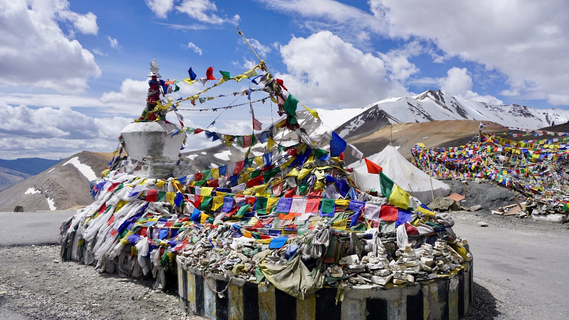
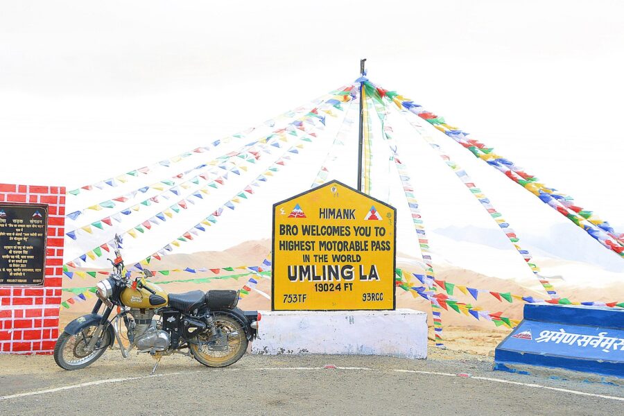
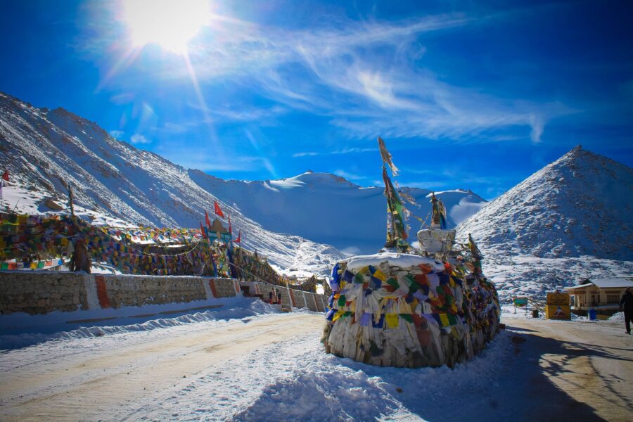
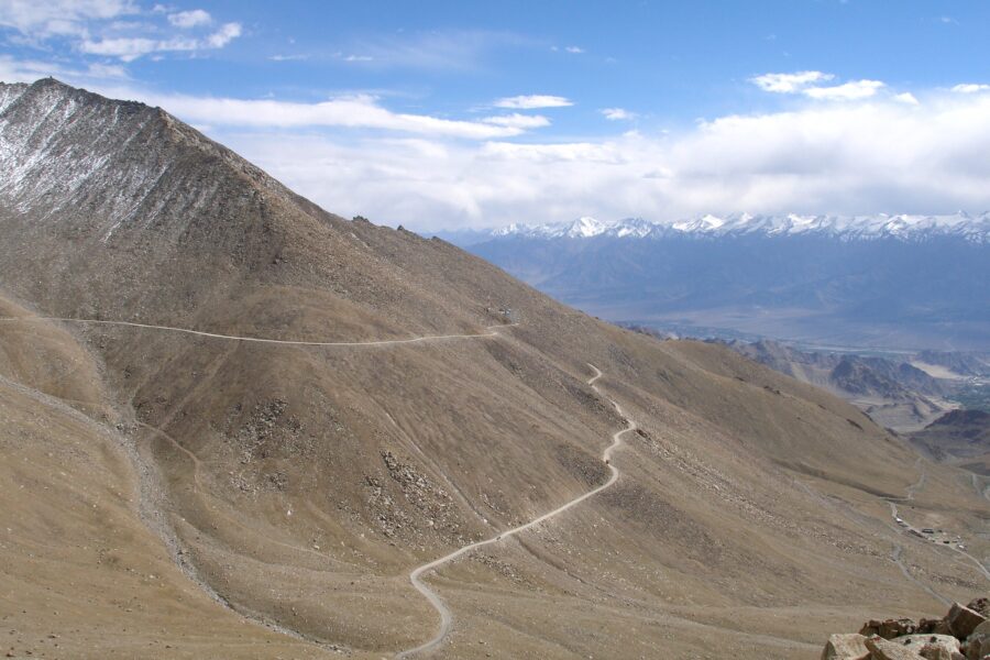
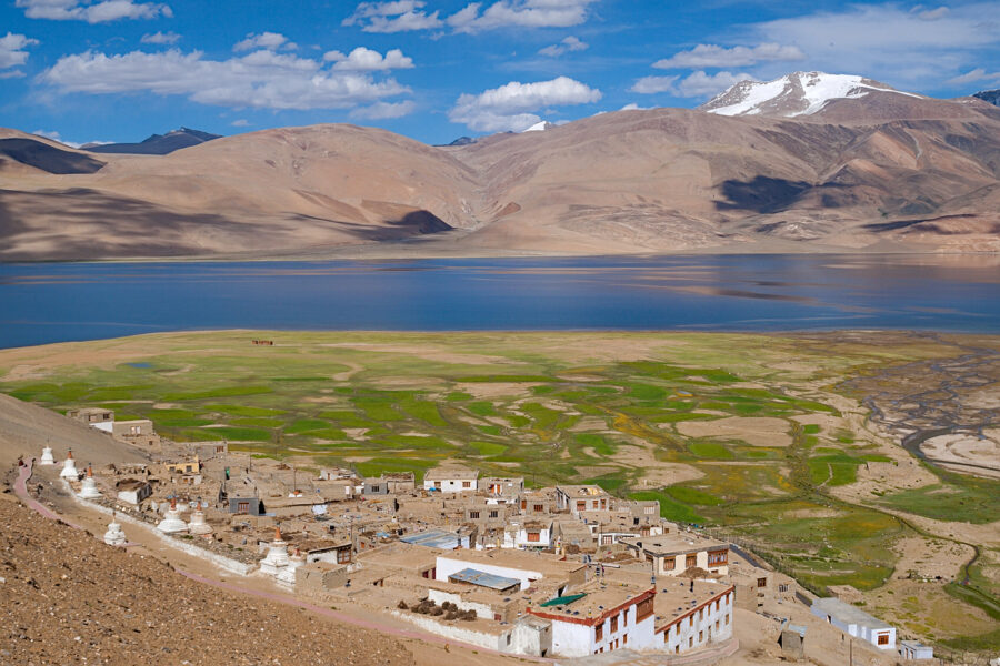
Tanglang La (also Taglang La) is the 5,328 m pass on the Manali-Leh highway between the More Plains and Rumtse, about 109 km from Leh. It is the last and highest of the passes on the drive up from Manali, and a chorten wrapped in prayer flags and a BRO signboard mark the top. From Leh it also makes the gateway to the Changthang plateau: just beyond the pass a road leaves the highway at Debring for Tso Kar, a high salt lake in a wide basin about 34 km from the top. The approach from Leh climbs the Indus to Upshi, then the Gya valley via Rumtse.
DIY Snapshot
DIY difficultyHigh
Best forRoad trip, Nature
Ideal days3-4 days
Best seasonJun to Sep; the highway is usually open from Jun to Oct
Budget₹10,000-₹18,000
Local transportModerate
InternetPoor
Safety comfortHigh
LanguagesLadakhi, Changpa, Hindi
How is this score calculated?
This is a DIY-readiness gauge - how do-able it is to plan and travel yourself. Destinations show it as a 0-5 DIY Score; treks & routes as a 0-10 Score (a wider scale for the extra variables they carry). Both are built from these factors:
SafetyLocal safety, terrain and current advisory conditions along the route.
Transport accessHow easily you can reach the place and move around without your own vehicle.
NetworkMobile signal and data coverage you can expect on the way.
Season reliabilityHow dependable the weather and season window is for travel.
Budget clarityHow predictable day-to-day costs are, with few surprises.
Trail / route clarityHow well-marked and easy to follow the route or trail is.
Stay availabilityThe choice and reliability of places to stay along the way.
First-timer friendlinessHow forgiving it is for a first-time independent traveller.
Solo / women comfortHow comfortable and safe it is for solo and women travellers.
Local supportAvailability of guides, hosts and on-the-ground help if you need it.
The sweet spot for visiting Tanglang La is June to September; the highway is usually open from June to October. Give it 3-4 days to do it justice. Budget roughly ₹10,000-₹18,000 per person for a DIY trip. It is a good fit if you are after road trips and nature. It is a sensible pick for solo women travellers.
DIY route options
Leh - Tanglang La - Tso KarAfter two nights in Leh, drive over the pass to Tso Kar for a night at the camps and back over the top to Leh.
Long day trip from LehLeh to the top and on to Tso Kar or the More Plains and back the same day, about 290 km - long, but you sleep low.
On the Manali-Leh driveThe last pass before Leh when driving up from Manali via Sarchu and Pang; keep the stop short at the end of a long day.
What most travellers miss
The Gya valley and Rumtse on the way up are worth a short stop; most people race through.
Just over the top the More Plains open out - a vast, flat high plateau that surprises people.
The salt-crusted shore of Tso Kar is best in the early morning, when the wind is down and birds are feeding.
Keep the stop at the top short; the views are good from the bends just below it too.
Where to base yourself
LehNights 1-2
Tso Kar campsNight 3
LehNight 4
DIY is the main way - this is the upgrade
Want expert help adapting this plan?
Want a version of this plan built around you? We rework the route, pacing, stays and budget for your dates and group size - you travel independently, with the research already done.
Nearest airportLeh airport is about 115 km away. Fly in and spend two nights in Leh before going over.
Nearest railway stationThere is no railway in Ladakh. Jammu Tawi and Chandigarh are the nearest major stations.
Bus & road hubManali-Leh buses cross Tanglang La in season but do not stop long. For Tso Kar there is no practical bus; take a taxi from Leh.
Taxis & local transportLeh taxi-union cabs run Tso Kar trips (often combined with Tso Moriri) at fixed rates; ask for a stop at the top and agree it beforehand.
Road access & best routeLeh to Upshi is 48 km, Upshi to Rumtse 29 km and Rumtse to the top 31 km: about 109 km. From the pass it is 23 km down to Debring and 11 km on to Tso Kar. Pang, on the Manali side, is 66 km beyond the top. There is no fuel on the highway between Karu and Tandi. Check /is-it-open/tanglang-la/ on this site.
Things to do & travel tips
Check /is-it-open/tanglang-la/ before you go; the highway opens and closes with the snow, and ice on the climb is common early and late in the season.
This is above 5,000 m. Spend at least two full nights in Leh (about 3,500 m) before crossing, keep the stop at the top to 15-20 minutes and never sleep at the pass. Headache that gets worse, vomiting, dizziness, confusion or breathlessness at rest mean go down at once - descent is the treatment. Skip alcohol; anyone with heart or lung conditions, and anyone travelling with small children, should talk to a doctor first.
Tso Kar lies in the Changthang area; carry the Ladakh permit receipt and ID. Indian travellers no longer need the old Inner Line Permit, but must pay the Ladakh environment and development fee online on the Leh district permit portal (lahdclehpermit.in) and carry printed copies of the receipt with photo ID for the check-posts. Fees and rules change, so check the portal before you go.
Tso Kar camps are at about 4,500 m. Sleep there only if you have had two or three good nights in Leh; otherwise make it a long day trip and sleep back in Leh.
The More Plains and Tso Kar have almost no mobile signal and no fuel; tell someone your plan and carry spare water and food.
Map
Curated places to visit in Tanglang La
Tap “Get directions” to open any spot straight in Google Maps.
Taglang La
0 km from Tanglang La centre
Taglang La or Tanglang La, elevation 5,328 metres (17,480 ft), is a high altitude mountain pass in Leh district in the Indian union territory of Ladakh. It is located on the NH3 Leh–Manali Highway. Rail-cum-road tunne…
Usual season: June to October. Opens and closes with the Manali to Leh highway, usually June to October or early November.
-13°C now, partly cloudy · next 3 days -20° to -6°
Usual seasons are approximate; snow and landslides can close any road. Check locally before you set off.
Frequently asked questions about Tanglang La
What is the best time to visit Tanglang La?
The best time to visit Tanglang La is June to September; the highway is usually open from June to October.
How many days do you need for Tanglang La?
Plan for about 3-4 days to see Tanglang La at an easy pace.
What is the nearest railway station to Tanglang La?
The nearest railway station to Tanglang La is There is no railway in Ladakh. Jammu Tawi and Chandigarh are the nearest major stations.
What is the nearest airport to Tanglang La?
The nearest airport to Tanglang La is Leh airport is about 115 km away. Fly in and spend two nights in Leh before going over.
How do you reach Tanglang La by road?
Leh to Upshi is 48 km, Upshi to Rumtse 29 km and Rumtse to the top 31 km: about 109 km. From the pass it is 23 km down to Debring and 11 km on to Tso Kar. Pang, on the Manali side, is 66 km beyond the top. There is no fuel on the highway between Karu and Tandi. Check /is-it-open/tanglang-la/ on this site.
How much does a trip to Tanglang La cost?
A DIY trip to Tanglang La starts around ₹10,000-₹18,000 per person, depending on stays, travel and season.
Is Tanglang La good for first-time or solo travellers?
Yes - Tanglang La is a sensible pick for solo women travellers, if you plan the basics ahead.