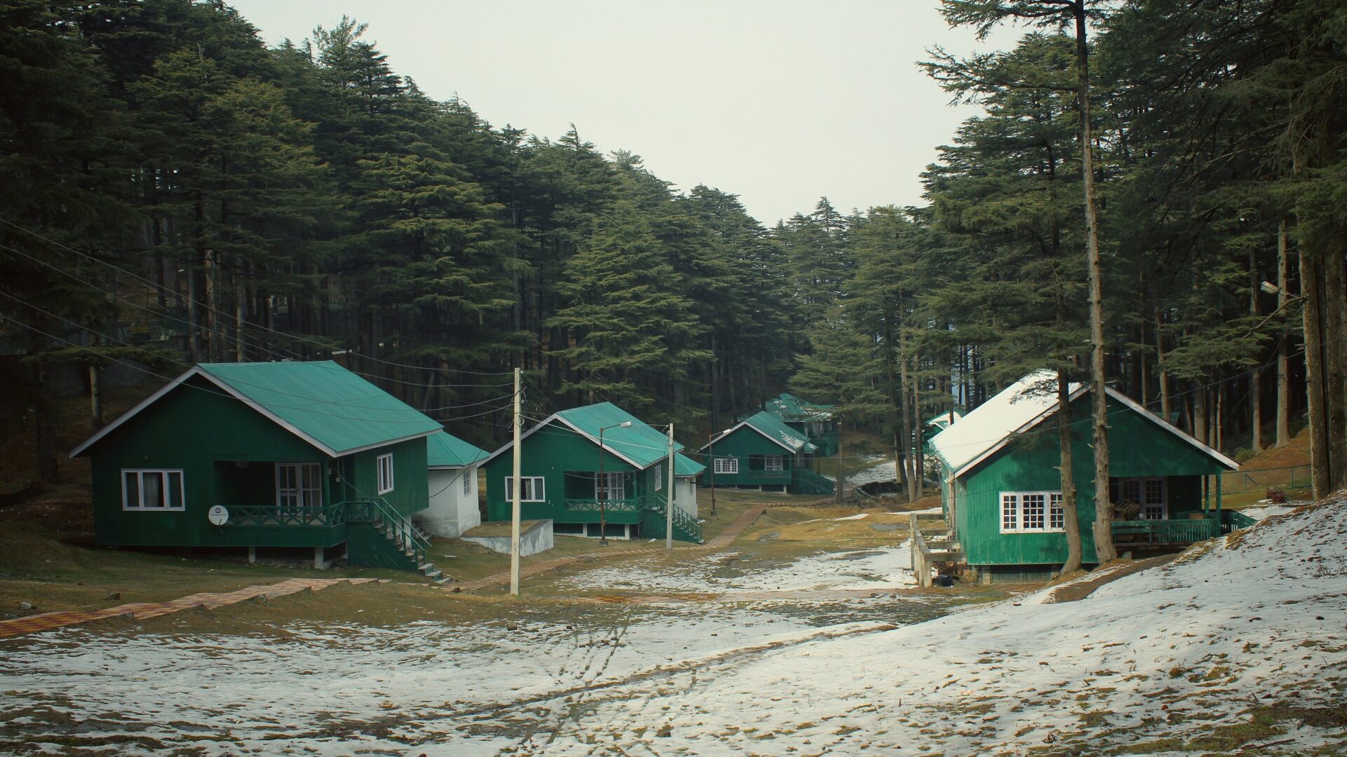
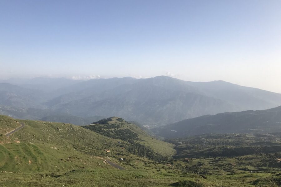
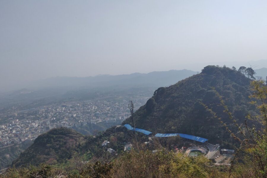
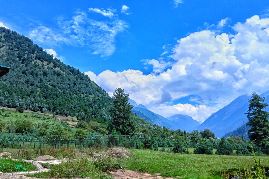
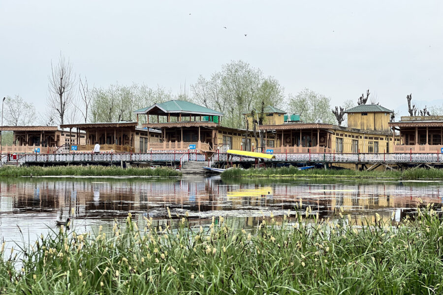
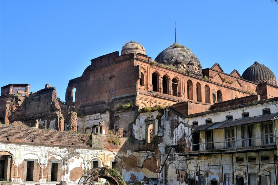
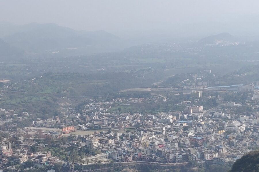
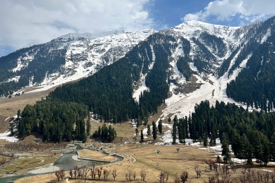
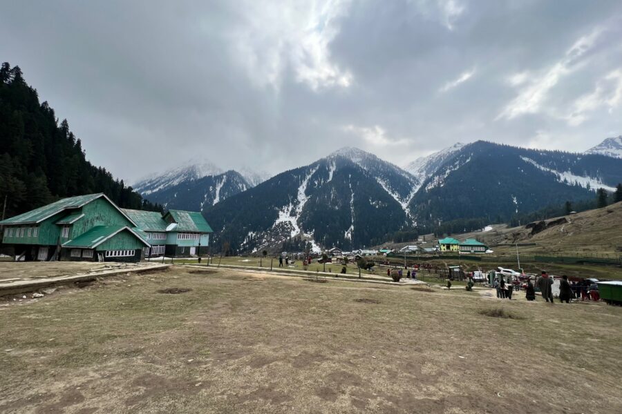
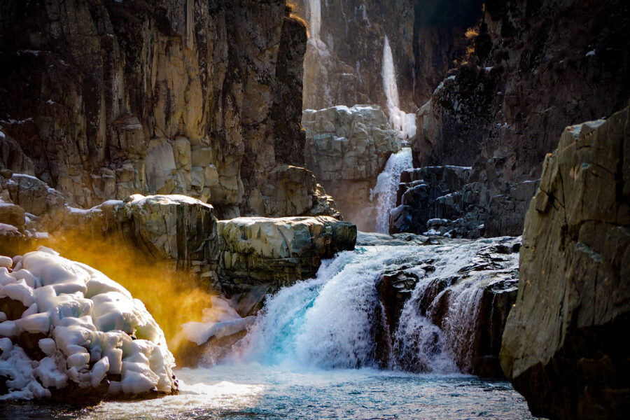
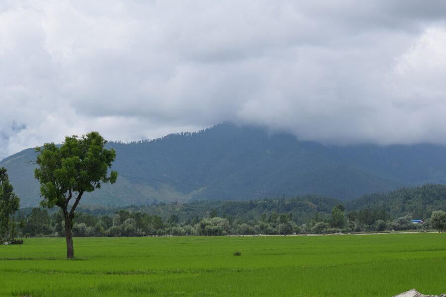
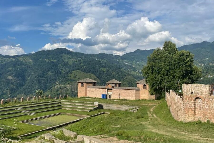
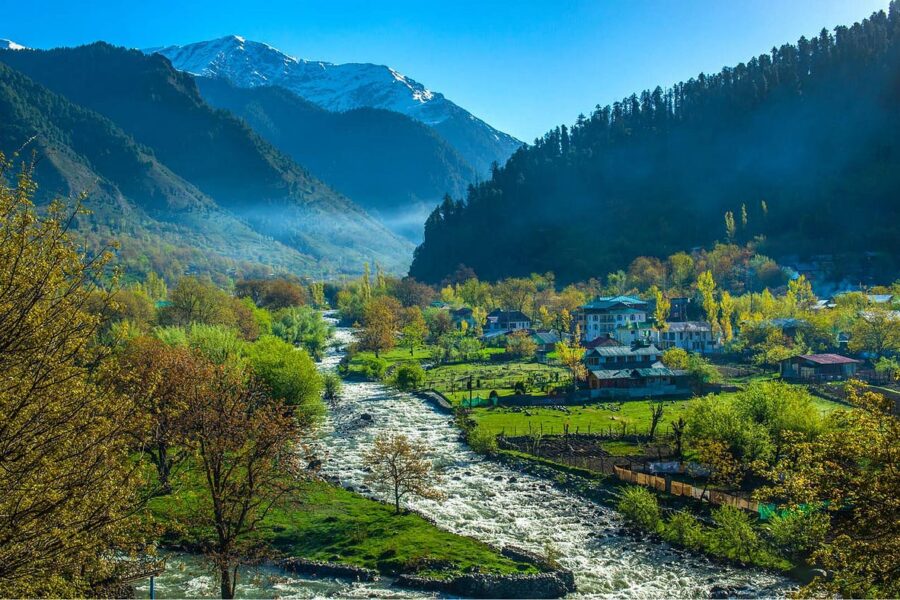
Patnitop is a small hill station at about 2,024 m on a forested ridge between Udhampur and Ramban, about 101 km by road from Jammu. It sits on the old Jammu-Srinagar highway, but since 2017 the Chenani-Nashri tunnel has carried through traffic underneath the ridge, so Patnitop is now a quiet detour rather than a highway halt. What it offers is simple: deodar and pine forest, open meadows with views over the Chenab side of the hills, walking trails, government and private cottages, and reliable snow in mid-winter that makes it Jammu's nearest snow trip. Kud, just below, is known for its patisa sweet, and the wide meadows of Sanasar are 20 km away.
DIY Snapshot
DIY difficultyEasy
Best forNature, Slow travel, Road trip
Ideal days1-2 days
Best seasonApr to Jun and Oct to Nov, or Dec to Feb for snow
Budget₹4,000-₹8,000
Local transportModerate
InternetGood
Safety comfortHigh
LanguagesDogri, Hindi
How is this score calculated?
This is a DIY-readiness gauge - how do-able it is to plan and travel yourself. Destinations show it as a 0-5 DIY Score; treks & routes as a 0-10 Score (a wider scale for the extra variables they carry). Both are built from these factors:
SafetyLocal safety, terrain and current advisory conditions along the route.
Transport accessHow easily you can reach the place and move around without your own vehicle.
NetworkMobile signal and data coverage you can expect on the way.
Season reliabilityHow dependable the weather and season window is for travel.
Budget clarityHow predictable day-to-day costs are, with few surprises.
Trail / route clarityHow well-marked and easy to follow the route or trail is.
Stay availabilityThe choice and reliability of places to stay along the way.
First-timer friendlinessHow forgiving it is for a first-time independent traveller.
Solo / women comfortHow comfortable and safe it is for solo and women travellers.
Local supportAvailability of guides, hosts and on-the-ground help if you need it.
The sweet spot for visiting Patnitop is April to June and October to November, or December to February for snow. Give it 1-2 days to do it justice. Budget roughly ₹4,000-₹8,000 per person for a DIY trip. It is a good fit if you are after nature, slow travel and road trips. First-time DIY travellers can manage it comfortably, and it is a sensible pick for solo women travellers.
DIY route options
Weekend from JammuDrive up on a Saturday morning, walk the meadows and forest trails, sleep in a cottage and come down on Sunday by way of Kud.
Patnitop and SanasarTwo nights: Patnitop for the forest and the old Naag temple, then a day at the Sanasar meadows, 20 km away.
Halt on the way to KashmirLeave NH44 at Chenani for a night at Patnitop, then rejoin the highway at Batote and carry on through the Banihal tunnel to Srinagar.
What most travellers miss
Most day visitors stay near the main park; the forest trails behind the cottages are quieter and greener.
Sanasar's open meadows are only 20 km away and often skipped.
Sunrise from the ridge, before the day-trippers from Jammu arrive, is the calmest time.
The old Naag temple near the meadow is easy to miss among the hotels.
Where to base yourself
PatnitopNight 1
JammuNight 2
DIY is the main way - this is the upgrade
Want expert help adapting this plan?
Want a version of this plan built around you? We rework the route, pacing, stays and budget for your dates and group size - you travel independently, with the research already done.
Nearest airportJammu airport is about 108 km / 3 hours away and the usual way in. Srinagar airport is about 175 km away on the other side of the Banihal tunnel.
Nearest railway stationUdhampur station, about 44 km away on the Jammu-Katra-Srinagar line, is the nearest railhead; Jammu Tawi, about 100 km away, has the most trains. Take a taxi from either.
Bus & road hubBuses and shared taxis run from Jammu and Udhampur towards Batote and Patnitop. Many Jammu-Srinagar buses now use the tunnel and skip Patnitop, so check the route before boarding.
Taxis & local transportTaxis from Jammu airport, Jammu Tawi or Udhampur station do the trip in about 3 hours from Jammu. Hire one for the stay if you want to see Sanasar.
Road access & best routeFrom Jammu, take NH44 past Udhampur and leave it at Chenani, before the tunnel, for the old road up through Kud (7 km below Patnitop). Batote is 13 km beyond Patnitop, Sanasar 20 km, and Srinagar about 166 km by the tunnel road.
Things to do & travel tips
Snow usually falls from about December to February; the old road can close for a while after heavy snowfall, so check with your hotel and the traffic police before driving up.
If you are driving, do not follow the highway into the Chenani-Nashri tunnel - the exit for Patnitop is at Chenani, just before it.
Stop at Kud for its patisa, a flaky sweet sold all along the road.
Monsoon (July-August) brings rain and landslides on the approach roads; spring and autumn are the most reliable months.
Mobile signal is fine at Patnitop itself but patchy in the forest and towards Sanasar; download maps before you go.
Photos of Patnitop
Map
Curated places to visit in Patnitop
Tap “Get directions” to open any spot straight in Google Maps.
Baglihar Dam
8 km from Patnitop centre
Baglihar Dam, also known as Baglihar Hydroelectric Power Project, is a run-of-the-river power project on the Chenab River in Baglihar road in the Ramban district of Jammu and Kashmir, India.
It is located 50 km from R…
The best time to visit Patnitop is April to June and October to November, or December to February for snow.
How many days do you need for Patnitop?
Plan for about 1-2 days to see Patnitop at an easy pace.
What is the nearest railway station to Patnitop?
The nearest railway station to Patnitop is Udhampur station, about 44 km away on the Jammu-Katra-Srinagar line, is the nearest railhead; Jammu Tawi, about 100 km away, has the most trains. Take a taxi from either.
What is the nearest airport to Patnitop?
The nearest airport to Patnitop is Jammu airport is about 108 km / 3 hours away and the usual way in. Srinagar airport is about 175 km away on the other side of the Banihal tunnel.
How do you reach Patnitop by road?
From Jammu, take NH44 past Udhampur and leave it at Chenani, before the tunnel, for the old road up through Kud (7 km below Patnitop). Batote is 13 km beyond Patnitop, Sanasar 20 km, and Srinagar about 166 km by the tunnel road.
How much does a trip to Patnitop cost?
A DIY trip to Patnitop starts around ₹4,000-₹8,000 per person, depending on stays, travel and season.
Is Patnitop good for first-time or solo travellers?
Yes - Patnitop is a sensible pick for first-time DIY travellers and solo women travellers, if you plan the basics ahead.