Kinner Kailash

Know the trail before you step on it - difficulty, permits, weather, guide need and route clarity in one place.

Trek safety, weather & access status

Generally safe to travel Open to trek Oct–Jun

Advisory

No active alerts. Carry layers, keep emergency contacts handy and check local conditions before you set out.

Live weather

13°C Thunderstorm
  • Feels 12°C
  • 5 km/h wind
  • 90% humidity

Mountain weather changes quickly. Treat this as a planning signal, not a final safety clearance - confirm locally before you set out.

Max altitude 4,800 m
Distance 12 km one way
Duration 3 days
Best time July to September
Fitness High - a steep, demanding high-altitude pilgrimage
Start point Tangling
End point Tangling
No permit needed

DIY Trek Readiness: can you go self-planned?

Beginners Some experience helps
Guide Recommended
Permit Not needed
Fitness High - a steep, demanding high-altitude pilgrimage
Trail clarity Faint
Network on trail Good
Max altitude 4,800 m
Best season Oct–Jun
Languages Hindi, Kinnauri

Readiness verdict

  • Best forExperienced, fit trekkers comfortable at altitude
  • Not ideal forFirst-time trekkers going without any support
  • Go DIY only ifYou can manage long walking days, basic navigation and changing mountain weather.
Guide: Recommended Permit: Not needed Network: Good
Plan it yourself

The DIY deep-dive

DIY route options

The classic route Start from Tangling and follow the standard 3-day line - the most reliable, well-trodden way to do it.
Time it by season Plan around July to September for the best weather, views and open access.

What most travellers miss

  • Do not rush past Tangling - most people treat it as a quick stop, but it is worth a slower evening.
  • Time it for July to September. Outside that window, snow, weather or road closures can cut access.
  • Use the acclimatisation day in full - fast itineraries are what catch people out at altitude here.

Where to base yourself

Ganesh Park Trailhead base - last shops, network and gear before you set off.
Tangling A key stop on the route - where the trek halts for the night.
Reckong Peo A key stop on the route - where the trek halts for the night.

DIY is the main way - this is the upgrade

Need expert help planning this trek?

Prefer not to manage permits, guide coordination, stays and route pacing yourself? We can help you turn this trek into a private, supported experience for your dates, group size and comfort level.

  • Permit and guide coordination
  • Private group support
  • Route pacing and halt planning
  • Stay, meals and local logistics
Enquire for pricing Enquire on WhatsApp

About this trek

Kinner (Kinnaur) Kailash is one of the five Kailashes, a sacred peak in Kinnaur. The pilgrimage climbs from Tangling to the 79-foot natural Shivling rock at about 4,800m. A very steep, demanding trek; the full parikrama is harder still. Best July to September.

Essential packing list

  • Trekking shoes
  • Warm layers
  • Rain shell
  • Headlamp
  • Water bottle
  • Trekking shoes with grip
  • Warm base layers and fleece
  • Down jacket
  • Rain shell / poncho
  • Headlamp with extra batteries
  • Water bottle or hydration bladder
  • Sunglasses, cap and sunscreen
  • Personal medicines
  • Power bank
  • Offline maps
  • Cash and ID copies
  • Permit documents

Map

Nearby route landmarks & places to know

Tap β€œGet directions” to open any spot straight in Google Maps.

Kalpa, Himachal Pradesh

0.4 km from Tangling, Himachal Pradesh centre

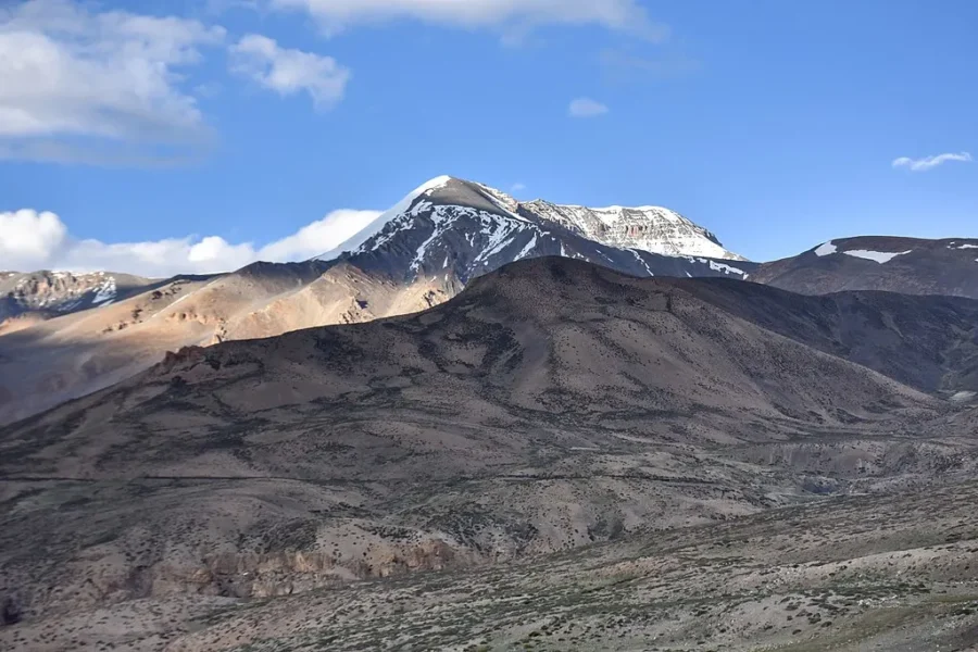
Kalpa is a small village lying above Reckong Peo, the district headquarters of the Kinnaur district, Himachal Pradesh state, north India. Geographically, Kalpa lies in the Sutlej river valley of the Indian Himalaya. T…

Reckong Peo

2.4 km from Tangling, Himachal Pradesh centre

Reckong Peo, also spelled Rekong Peo, and known as Peo by local inhabitants, is headquarters of Kinnaur district, one of the twelve administrative districts of the Indian state of Himachal Pradesh.

Baspa River

7.6 km from Tangling, Himachal Pradesh centre

Baspa River is a river flowing through the Indian Himalayas in the northern Indian state of Himachal Pradesh. It rises near the Indo-Tibetan border and forms the scenic Baspa Valley before flowing into the Sutlej Rive…

Stay & food planning around the trailhead

Base and stock up at the trailhead before you start; on the trail expect basic halts and simple meals - tea stops and packed snacks, with no cafe-style reliability once you set off.

Stay

HPTDC Kinner Kailash

HPTDC Kinner Kailash, NH5, Barang - 172108, Himachal Pradesh, India

Open in Maps

Stay

Chini bunglow

Chini bunglow, NH5, Barang - 172108, Himachal Pradesh, India

Open in Maps

Stay

The Majestic Homestay kalpa

The Majestic Homestay kalpa, near yalang mod, NH505A, Rekong Peo - 172108, Himachal Pradesh, India

Open in Maps

Stay

BestView Home Stay

BestView Home Stay, NH505A, Rekong Peo - 172107, Himachal Pradesh, India

Open in Maps

Stay

Blue Lotus

Blue Lotus, NH5, Barang - 172108, Himachal Pradesh, India

Open in Maps

Stay

Wanderers home stay

Wanderers home stay, NH505A, Rekong Peo - 172107, Himachal Pradesh, India

Open in Maps

Stay

Cafeteria Roof

Cafeteria Roof, NH505A, Rekong Peo - 172107, Himachal Pradesh, India

Open in Maps

Comments are closed.

More treks nearby

View all

Travel guides related to Kinner Kailash

View all