
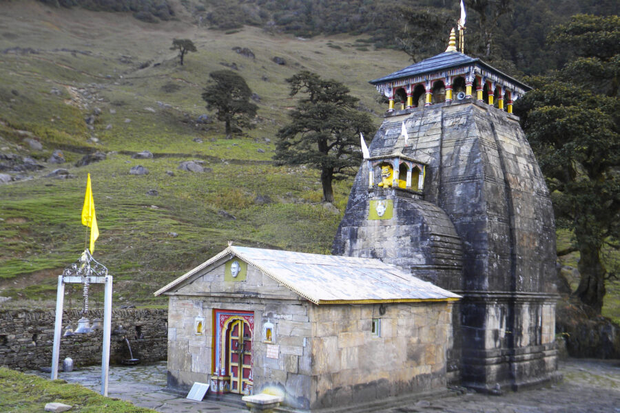
Bhagwati Devi Mandir
Bhagwati Devi Mandir, Rains to Kundi, Chopta - 246453, Uttarakhand, India
Know the trail before you step on it - difficulty, permits, weather, guide need and route clarity in one place.
Acclimatise properly, carry warm layers even in summer, and do not trek alone in bad weather.
Live weather isn't available for this spot right now. Check IMD or a local forecast before you travel.
This is a DIY-readiness gauge - how do-able it is to plan and travel yourself. Destinations show it as a 0-5 DIY Score; treks & routes as a 0-10 Score (a wider scale for the extra variables they carry). Both are built from these factors:
Chopta Tungnath Chandrashila Trek is at its best in Year-round; magical in winter snow. It covers about 5 km (one way), runs over 1–2 days, tops out near 4,000 m.
DIY is the main way - this is the upgrade
Prefer not to manage permits, guide coordination, stays and route pacing yourself? We can help you turn this trek into a private, supported experience for your dates, group size and comfort level.
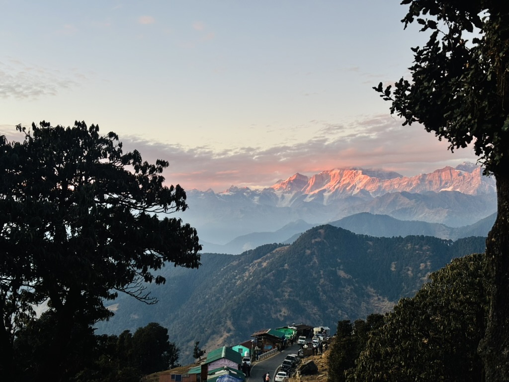
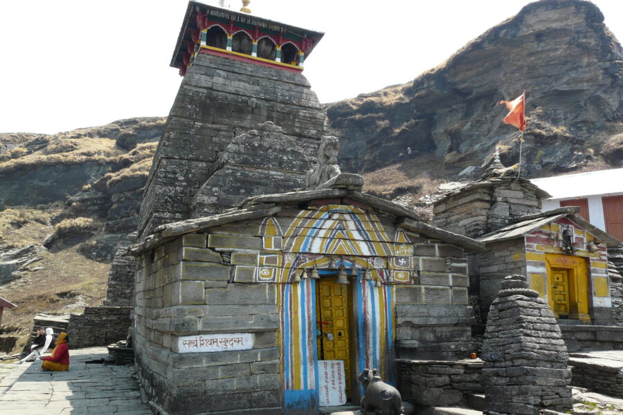
From the meadows of Chopta, this much-loved trek climbs to Tungnath – the highest Shiva temple in the world at about 3,680 m and one of the Panch Kedar – and continues to the Chandrashila summit at around 4,000 m.
The summit unfolds a sweeping 360° panorama of Nanda Devi, Trishul, Chaukhamba and Kedar peak. Short, scenic and doable year-round (a snowy winter classic), it is one of Uttarakhand’s best beginner-friendly summit treks.
Read the full guide: Chopta Tungnath With Chandrashila Trek, Uttarakhand.
Tap “Get directions” to open any spot straight in Google Maps.
Bhagwati Devi Mandir, Rains to Kundi, Chopta - 246453, Uttarakhand, India
Bhairav Mandir, Rains to Kundi, Chopta - 246453, Uttarakhand, India
Nag and Naini Mandir, Rains to Kundi, Chopta - 246453, Uttarakhand, India
Havankund, Rains to Kundi, Chopta - 246453, Uttarakhand, India
Naini Mata Mandir, built in 2017, Rains to Kundi, Chopta - 246453, Uttarakhand, India
Shiv Mandir, Rains to Kundi, Chopta - 246453, Uttarakhand, India
Nanda Devi Mandir, Bhangota to Kundi, Dungri - 246453, Uttarakhand, India
holy grass, Rains to Kundi, Chopta - 246453, Uttarakhand, India
Bhumiyal Dev Mandir, Rains to Kundi, Chopta - 246453, Uttarakhand, India
Jhala Mala Mata, Rains to Kundi, Chopta - 246453, Uttarakhand, India
Naini Mata Mandir, Bhangota to Kundi, Dungri - 246453, Uttarakhand, India
Traditional sacred spot of Naini Devi, Bhangota to Kundi, Dungri - 246453, Uttarakhand, India
Base and stock up at the trailhead before you start; on the trail expect basic halts and simple meals - tea stops and packed snacks, with no cafe-style reliability once you set off.
Stay
SATI LODGE AND RESTAURANT, NH7, Nandaprayāg - 246449, Uttarakhand, India
Stay
SHREE CHINTAMANI HOMESTAY, NH7, Gopeshwar - 246401, Uttarakhand, India
Food
Hotel Shri Krishna Palace, NH7, Karnaprayag - 246444, Uttarakhand, India
Food
ZILA PANCHAYAT CANTEEN, NH107A, Gangalgaon - 246401, Uttarakhand, India
The best time for the Chopta Tungnath Chandrashila Trek is Year-round; magical in winter snow.
The Chopta Tungnath Chandrashila Trek tops out near 4,000 m.
It covers about 5 km (one way) and takes around 1–2 days.
 Autumn
 Autumn
 Autumn
 Autumn
 Autumn
 Autumn
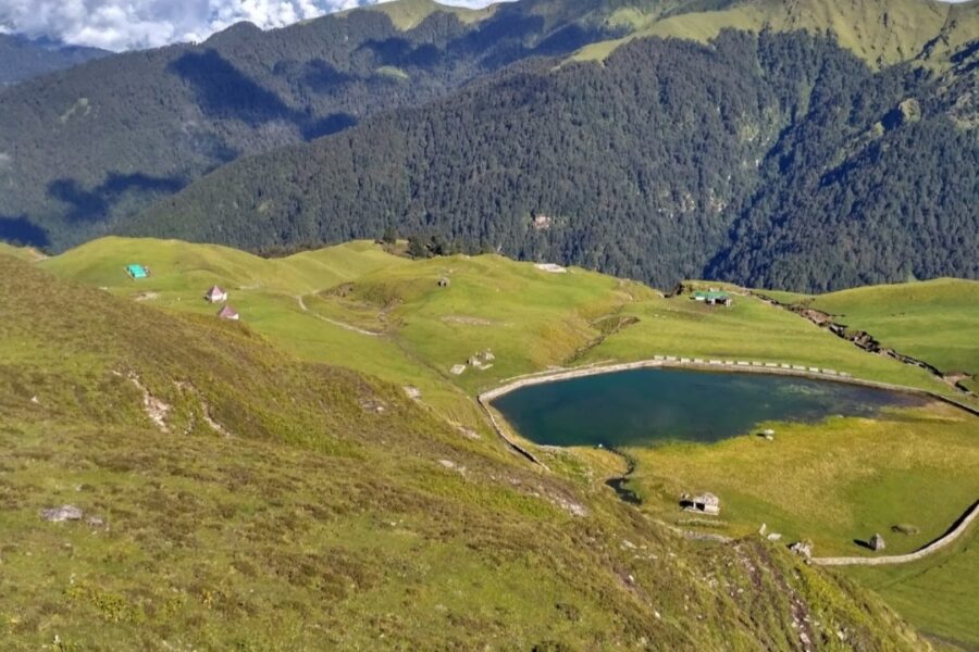 Autumn
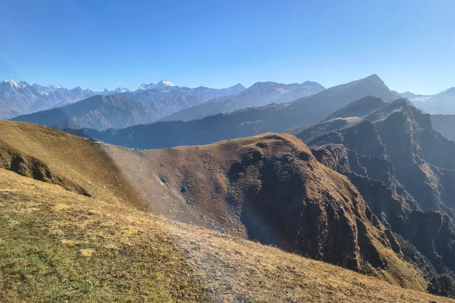 Autumn
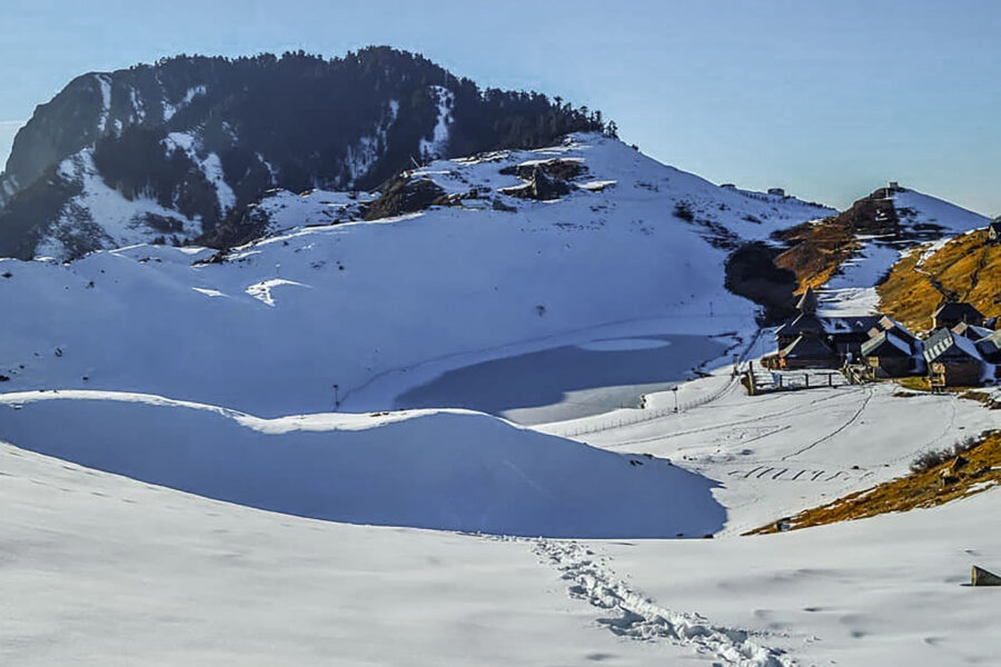
Trek guides 8 min read
Are you searching for a Top five range of thrilling, stimulating, and daring winter treks? Uttarakhand is your…
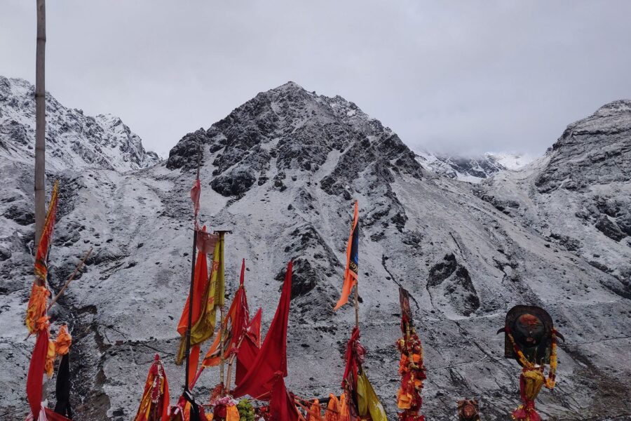
Trek guides 14 min read
Kedarnath Yatra is a pilgrimage to the holy shrine of Lord Shiva located in the Garhwal Himalayas in…
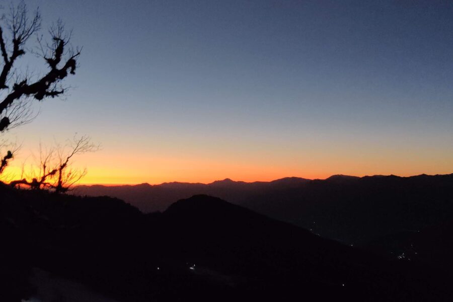
Trek guides 12 min read
Are you looking for a day by day detailed daily itinerary for a trip to Chopta, Tungnath and…
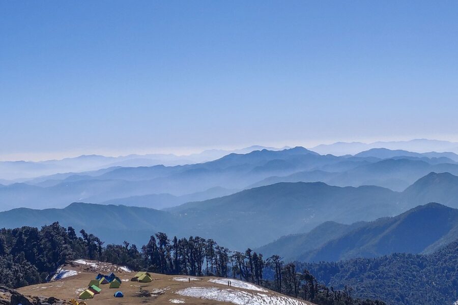
Trek guides 9 min read
One of the very few Himalayan Treks which goes to an alpine lake. Best winter trek in Uttarakhand…
Packing guides 12 min read
When planning a vacation, the first two places that typically come to mind are Mountains or beaches. After…
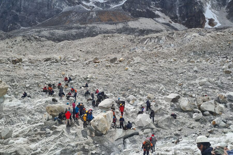
Packing guides 9 min read
If you are wondering how to best prepare for a trek in the Himalayas when your local environment…
Packing guides 12 min read
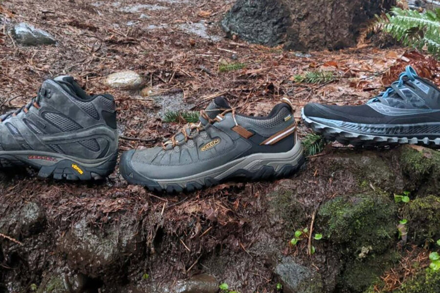
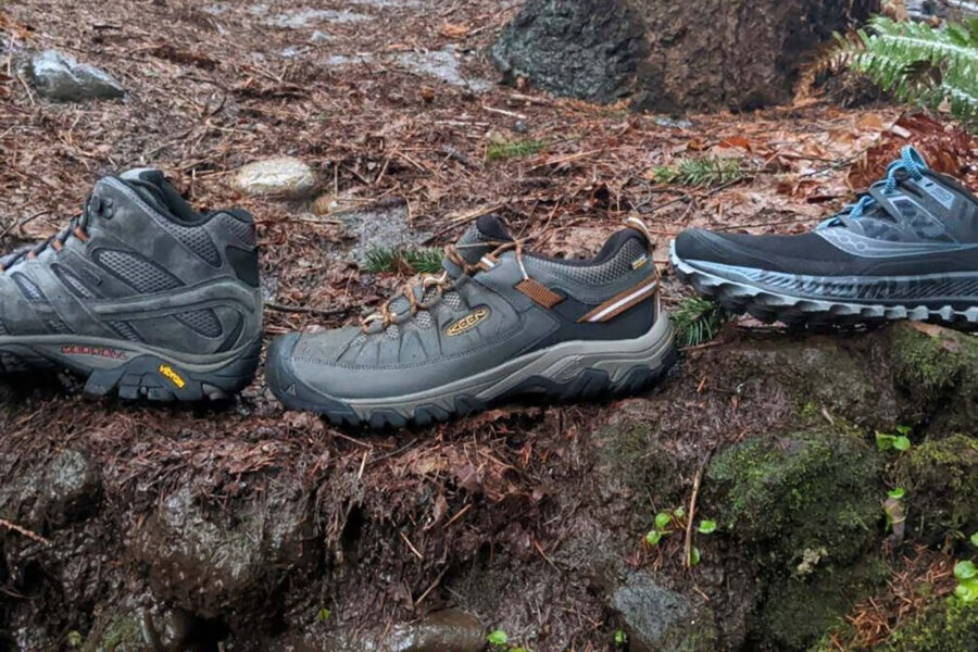
While trekking shoes and running shoes may seem similar but, trekking shoes and running shoes are two different…
Packing guides 9 min read
"Explore India's Great Outdoors with the Best Trekking Backpacks" Are you looking for the perfect backpack for your…
Early travellers
As a woman travelling solo, the safety notes gave me real confidence.
Finally, India travel info I can actually trust. The confidence scores are genius.
The free hotel and attraction search saved me hours of research.
Bought the Spiti map - opened straight in Google Maps, navigated offline. Brilliant.
The day-wise plan made my first solo trip to Manali completely stress-free.