
Trekking shoes
Easy trail - you need grip and ankle support, not running shoes.
Our top pickRed Tape Ozark Hiking Shoes
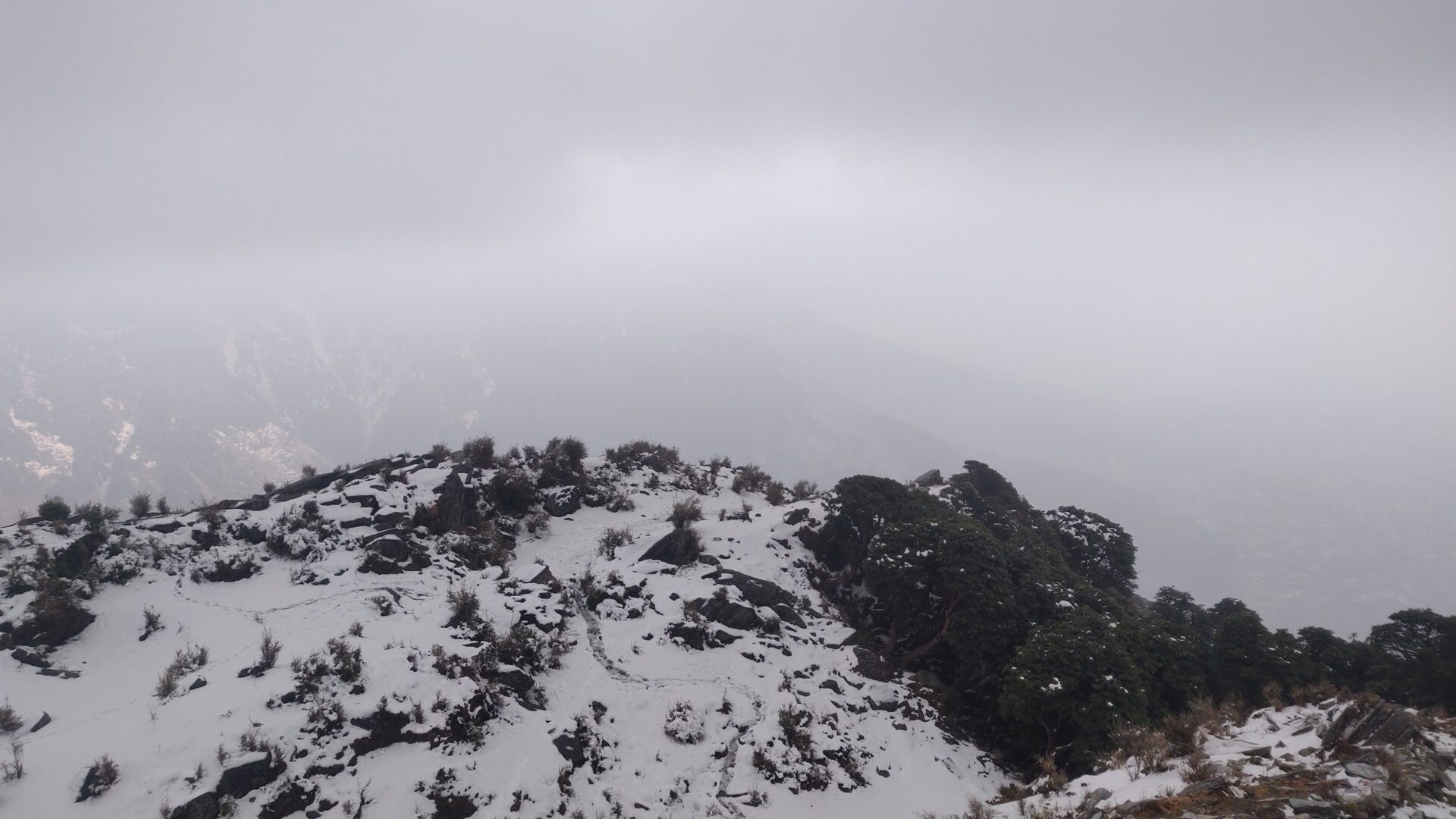
Know the trail before you step on it - difficulty, permits, weather, guide need and route clarity in one place.
Acclimatise properly and stay hydrated. Do not trek alone in bad weather. Start the summit push early. Carry a fully charged phone and share your live location with family. Turn back if conditions worsen.
Mountain weather changes quickly. Treat this as a planning signal, not a final safety clearance - confirm locally before you set out.
This is a DIY-readiness gauge - how do-able it is to plan and travel yourself. Destinations show it as a 0-5 DIY Score; treks & routes as a 0-10 Score (a wider scale for the extra variables they carry). Both are built from these factors:
Free on this page
Enough to decide if Triund Trek is right for you.
In the ready-made plan
Rather talk it through? Book a 30-minute planning call and we will go over your route, timing and budget with you.
Triund Trek is at its best in March to June, September to November. It covers about 9 km (one way), runs over 1–2 days, tops out near 2,850 m.
DIY is the main way - this is the upgrade
Not sure how to stage the climb, where to halt, or what the permits ask for? We build you a custom plan for your dates, group size and fitness - you still do the trek yourself, with every detail worked out first.
Triund is the classic beginner trek above McLeod Ganj, climbing through oak and rhododendron forest to a grassy ridge at about 2,850 m. The reward is a front-row view of the Dhauladhar range on one side and the Kangra valley on the other – spectacular at sunset and under the stars.
A 9 km trail from Galu Devi temple gets most reasonably fit walkers to the top in 4–5 hours. You can camp overnight at Triund or push on to the Snowline Cafe and Laka Glacier. It is the perfect first Himalayan trek.
Read the full guide: Triund Trek: A Perfect Trek for Beginners.
Matched to this trek's altitude, season and length. Each card links to our full shortlist.
Trekking shoes
Easy trail - you need grip and ankle support, not running shoes.
Our top pickRed Tape Ozark Hiking Shoes
Snow gear
Open in the snow months - microspikes, gaiters and warm, waterproof layers.
Our top pickAYAMAYA 24-Spike Microspikes
Warm jacket
Winter nights on the trail drop well below freezing - a proper insulated jacket, not a fleece.
Our top pickWildcraft Sierra Packable Husky Puffer Jacket
Rain gear
Walked in monsoon months too - a proper rain shell and pack cover matter.
Our top pickRocksport Hooded Rain Poncho
Tap “Get directions” to open any spot straight in Google Maps.
1.1 km from Galu Devi Temple, McLeod Ganj, Himachal Pradesh centre
St. John in the Wilderness is a Protestant church dedicated to John the Baptist. It was built in 1852 and is located near Dharamshala, India, on the way to McLeod Ganj, at Forsyth Gunj. Set amidst deodar forest, and b…
1.1 km from Galu Devi Temple, McLeod Ganj, Himachal Pradesh centre
Dal Lake is a small mid-altitude lake near the village of Tota Rani in Kangra district of Himachal Pradesh state in northern India.
1.2 km from Galu Devi Temple, McLeod Ganj, Himachal Pradesh centre
Namgyal Monastery is located in Mcleod Ganj, Dharamsala, India. It is the personal monastery of the 14th Dalai Lama. Another name for this temple-complex is Namgyal Tantric College.
1.2 km from Galu Devi Temple, McLeod Ganj, Himachal Pradesh centre
The Tibet Museum is the official museum of the Central Tibetan Administration's Department of Information and International Relations and is located IN CTA complex in T building, in the Dharamshala suburb of McLeod Ga…
2.6 km from Galu Devi Temple, McLeod Ganj, Himachal Pradesh centre
The Jama Mosque is a Friday mosque, located in Kotwali Bazar, Dharamshala, in the state of Himachal Pradesh, India.
8.3 km from Galu Devi Temple, McLeod Ganj, Himachal Pradesh centre
Indrahar (इन्द्रहार) Pass is a mountain pass in the Dhauladhar range of the Himalayas. Located at 32°17.852′N 76°22.872′E and an altitude of 4,342 metres (14,245 ft) above mean sea level, near the tourist town of Dhar…
Base and stock up at the trailhead before you start; on the trail expect basic halts and simple meals - tea stops and packed snacks, with no cafe-style reliability once you set off.
Book a stay Partner links
Compare prices, photos and guest reviews for stays where people base themselves.
Stay
Aum (Glenmoor) cottage, tushita naddi, Dharamkot - 176219, Himachal Pradesh, India
Stay
Aum Glennmore Cottage, tushita naddi, Dharamkot - 176219, Himachal Pradesh, India
Stay
Shree Guest House, Main Square - Tushita Road, McLeod Ganj, Dharamkot - 176200, Himachal Pradesh, India
Stay
Shanti Guest House, Main Square - Tushita Road, McLeod Ganj, Dharamkot - 176200, Himachal Pradesh, India
Stay
Taahi Delek house 280, Main Square - Tushita Road, McLeod Ganj, Dharamkot - 176200, Himachal Pradesh, India
Stay
Kailwood Guest House, TIPA Road, McLeod Ganj, Bhagsu - 176200, Himachal Pradesh, India
Stay
Asian Plaza, Bhagsu Road, McLeod Ganj, Dharamkot - 176200, Himachal Pradesh, India
Stay
Loling Monastery Guest House, TIPA Road, McLeod Ganj, Bhagsu - 176200, Himachal Pradesh, India
Food
Jaitu Dhaba, Tushita Road, McLeod Ganj, Dharamshala - 176200, Himachal Pradesh, India
Food
Ajju Tea Shop, Tushita Road, McLeod Ganj, Dharamshala - 176200, Himachal Pradesh, India
Food
Zom Zom Tea Point, Tushita Road, McLeod Ganj, Dharamshala - 176200, Himachal Pradesh, India
Food
Common Ground, Main Square - Tushita Road, McLeod Ganj, Dharamkot - 176200, Himachal Pradesh, India
Food
Himalaya Tea Shop, TIPA Road, Dharamkot - 176219, Himachal Pradesh, India
Food
Vaishno punjabi Dhaba, TIPA Road, McLeod Ganj, Bhagsu - 176200, Himachal Pradesh, India
Food
Himalayan Kitchen, TIPA Road, McLeod Ganj, Bhagsu - 176200, Himachal Pradesh, India
Food
Tsampa Café, TIPA Road, McLeod Ganj, Bhagsu - 176200, Himachal Pradesh, India
Free trip cost calculator
The best time for the Triund Trek is March to June, September to November.
The Triund Trek tops out near 2,850 m.
It covers about 9 km (one way) and takes around 1–2 days.
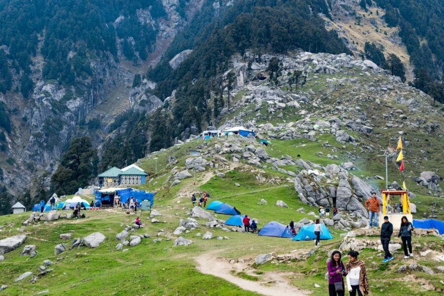
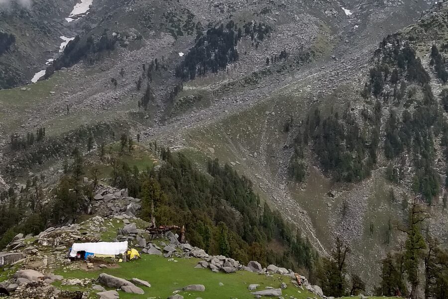 Autumn
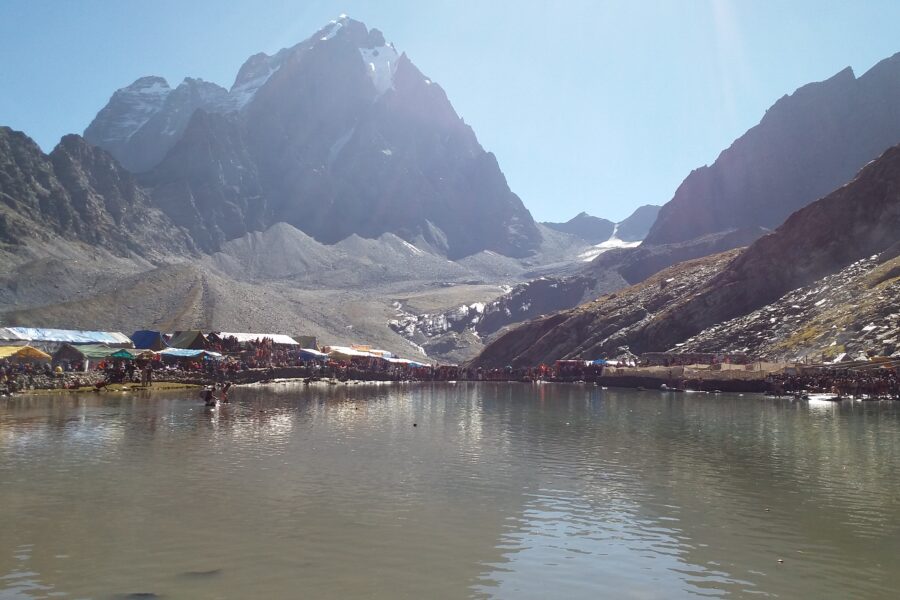 Monsoon
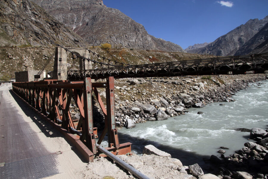 Monsoon
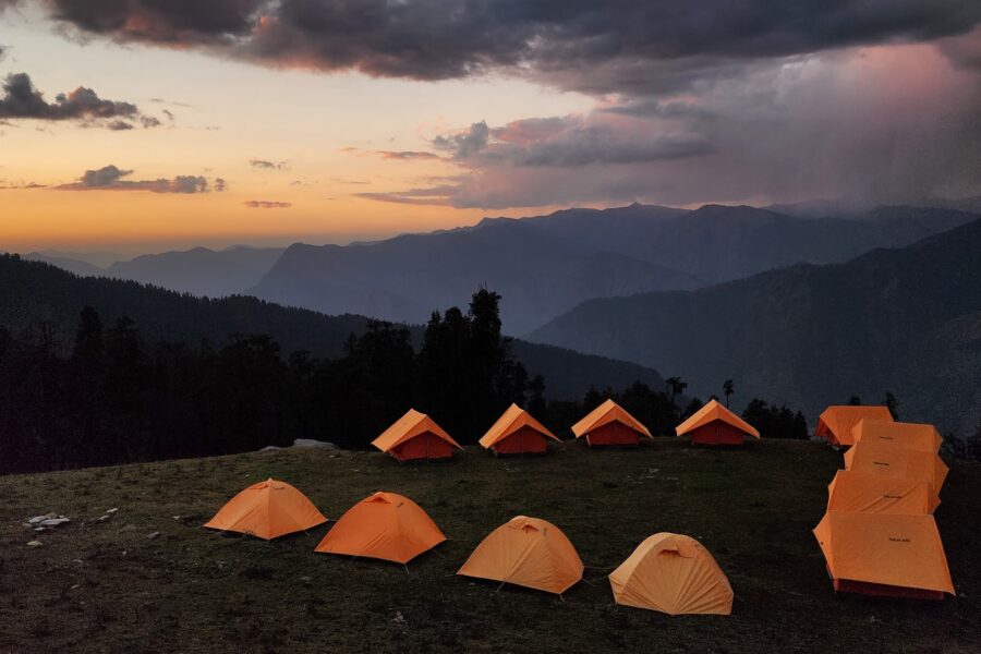
Gear reviews 5 min read
A headlamp for trekking is not optional: summit days on Kedarkantha, Chandrashila or Brahmatal start hours before sunrise,…
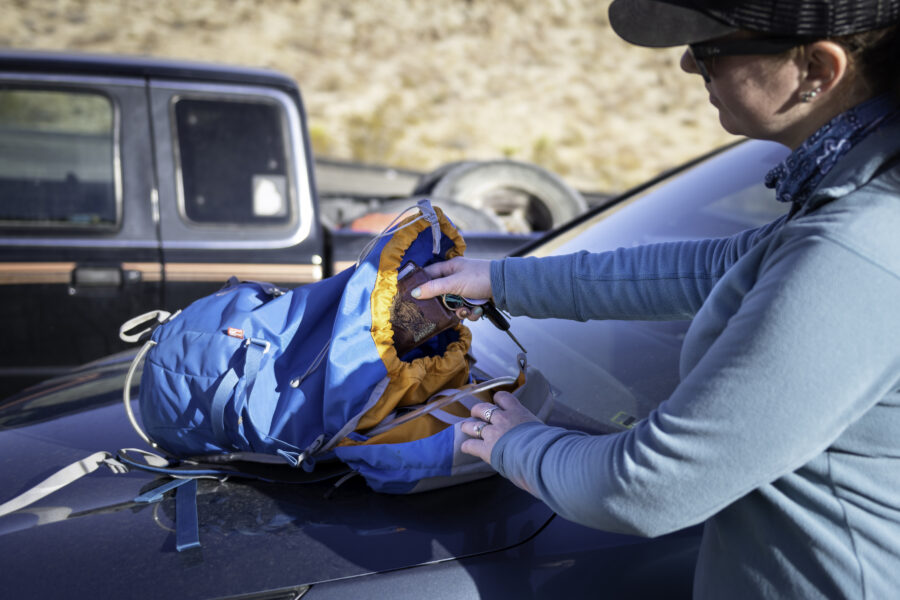
Gear reviews 5 min read
The best daypack for day hikes in India is the bag you will use most often, far more…
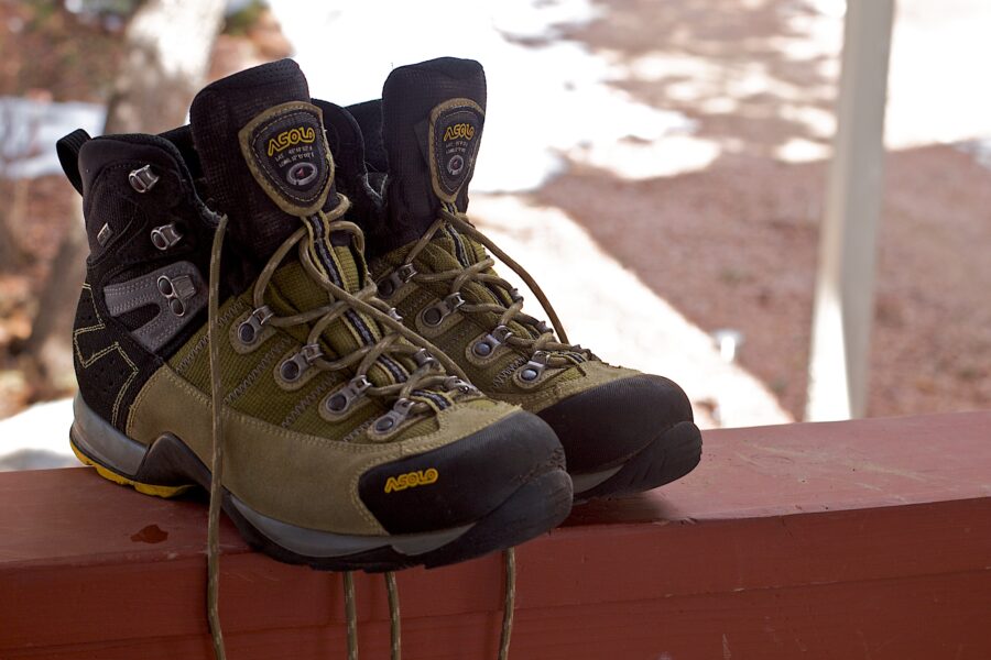
Gear reviews 7 min read
The right trekking shoes under ₹5,000 will carry you through most beginner and moderate Himalayan treks in India…
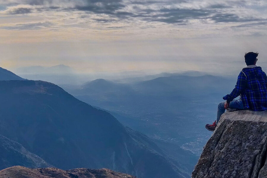
Trek guides 14 min read
The Triund trek, one of the most popular weekend getaways from Delhi and Chandigarh, is a short and…
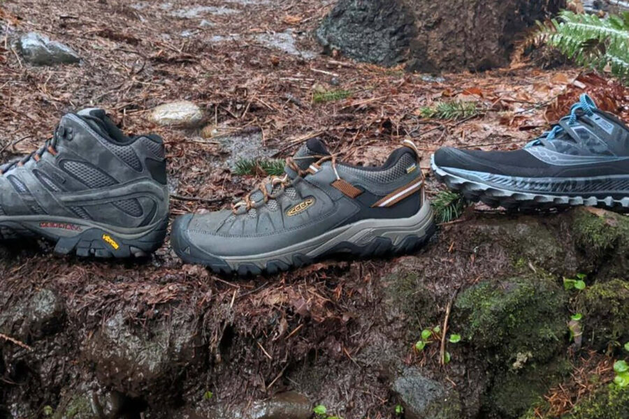
Gear reviews 13 min read
While trekking shoes and running shoes may seem similar but, trekking shoes and running shoes are two different…

Seasonal guides 9 min read
Himachal Pradesh is a state in northern India. It is bordered by Jammu and Kashmir to the north,…
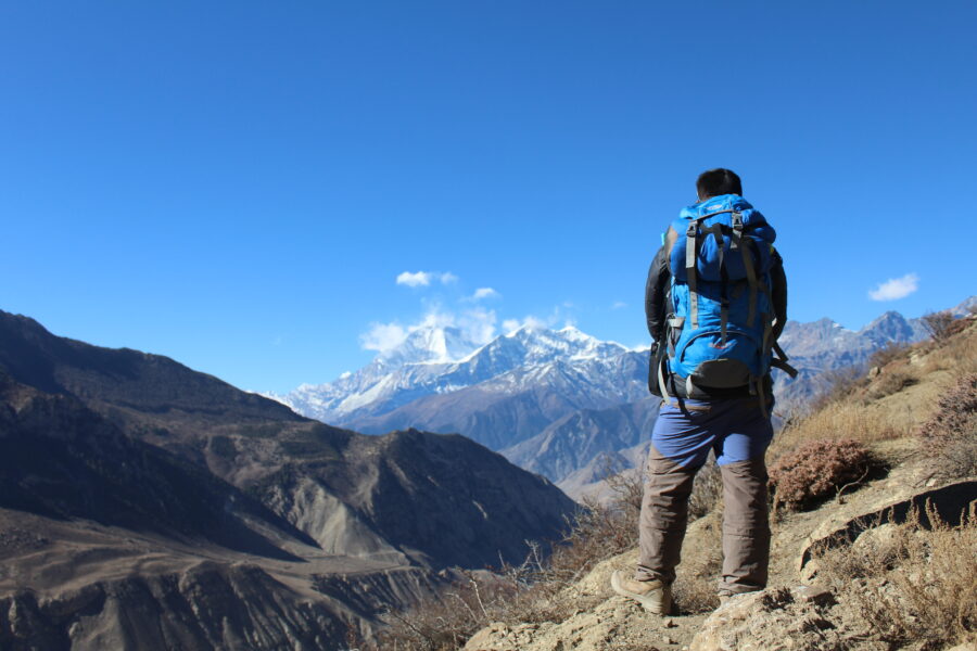
Gear reviews 9 min read
"Explore India's Great Outdoors with the Best Trekking Backpacks" Are you looking for the perfect backpack for your…
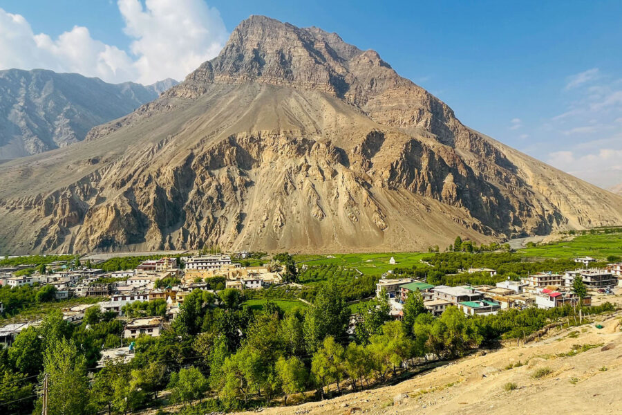
Destination guides 14 min read
Tabo is a small village located in the Spiti Valley of Himachal Pradesh, India. It lies at an…