
Jama Mosque, Dharamshala
0.3 km from Chhatru, Himachal Pradesh centre
The Jama Mosque is a Friday mosque, located in Kotwali Bazar, Dharamshala, in the state of Himachal Pradesh, India.
Know the trail before you step on it - difficulty, permits, weather, guide need and route clarity in one place.
Off-season right now. Chandra Bhaga Glaciers Trek is normally trekkable only Jul–Sep. Outside these months the route is often officially closed - heavy snow, no support on the trail, and forest/army checkpoints where you can be turned back. If you're going solo, confirm access with the local forest or police checkpoint first, and don't attempt it off-season without a permit and a guide.
No active alerts. Carry layers, keep emergency contacts handy and check local conditions before you set out.
Mountain weather changes quickly. Treat this as a planning signal, not a final safety clearance - confirm locally before you set out.
This is a DIY-readiness gauge - how do-able it is to plan and travel yourself. Destinations show it as a 0-5 DIY Score; treks & routes as a 0-10 Score (a wider scale for the extra variables they carry). Both are built from these factors:
Chandra Bhaga Glaciers Trek is at its best in July to September. It covers about 30 km, runs over 5 days, tops out near 4,500 m.
DIY is the main way - this is the upgrade
Prefer not to manage permits, guide coordination, stays and route pacing yourself? We can help you turn this trek into a private, supported experience for your dates, group size and comfort level.
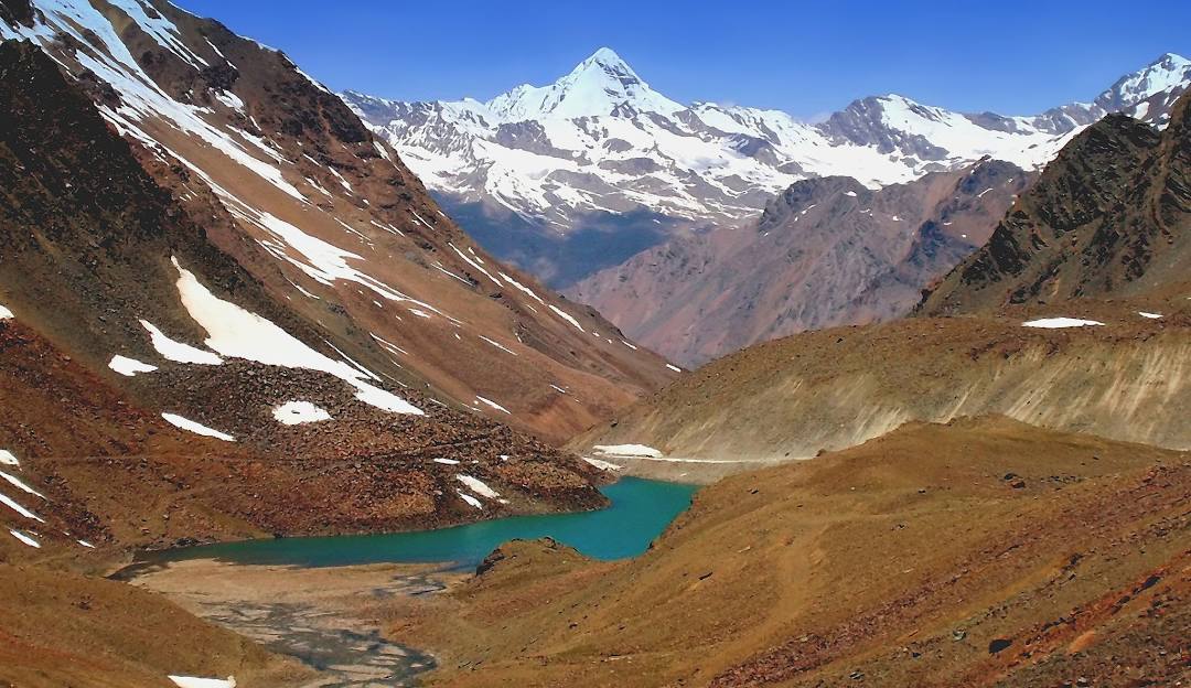
The Chandra Bhaga (CB) range walls the Chandra valley in Lahaul. This trek follows the Chandra river past Chhatru and Chhota Dara to the moraines and base camps below the CB glaciers – a stark, high cold-desert route best done after the Spiti/Lahaul roads open in summer.
Tap “Get directions” to open any spot straight in Google Maps.
0.3 km from Chhatru, Himachal Pradesh centre
The Jama Mosque is a Friday mosque, located in Kotwali Bazar, Dharamshala, in the state of Himachal Pradesh, India.
1.3 km from Chhatru, Himachal Pradesh centre
Namgyal Monastery is located in Mcleod Ganj, Dharamsala, India. It is the personal monastery of the 14th Dalai Lama. Another name for this temple-complex is Namgyal Tantric College.
1.3 km from Chhatru, Himachal Pradesh centre
The Tibet Museum is the official museum of the Central Tibetan Administration's Department of Information and International Relations and is located IN CTA complex in T building, in the Dharamshala suburb of McLeod Ga…
3 km from Chhatru, Himachal Pradesh centre
St. John in the Wilderness is a Protestant church dedicated to John the Baptist. It was built in 1852 and is located near Dharamshala, India, on the way to McLeod Ganj, at Forsyth Gunj. Set amidst deodar forest, and b…
3 km from Chhatru, Himachal Pradesh centre
Dal Lake is a small mid-altitude lake near the village of Tota Rani in Kangra district of Himachal Pradesh state in northern India.
Base and stock up at the trailhead before you start; on the trail expect basic halts and simple meals - tea stops and packed snacks, with no cafe-style reliability once you set off.
Stay
Asian Plaza, Potala Marg (Khada Danda Road), Kotwali Bazaar, Dharamshala - 176200, Himachal Pradesh, India
Stay
Hotel Paradise, Dharamshala Cantt McLeoadganj Road, Kotwali Bazaar, Dharamshala - 176200, Himachal Pradesh, India
Stay
Hotel Gagan, Gurudwara Road, Kotwali Bazaar, Dharamshala - 176200, Himachal Pradesh, India
Stay
Sunrise Tourist Home, Near MC Office, Brij Lal Road, Kotwali Bazaar, Dharamshala - 176215, Himachal Pradesh, India
Stay
Padmini, Dharamshala Road, Kotwali Bazaar, Dharamshala - 176200, Himachal Pradesh, India
Stay
Shyam Nagar Road, Kotwali Bazaar, Dharamshala - 176200, Himachal Pradesh, India
Stay
Sita Palace, Dharamshala Road, Kotwali Bazaar, Dharamshala - 176200, Himachal Pradesh, India
Stay
Shyam Nagar Road, Shyam Nagar, Dharamshala - 176200, Himachal Pradesh, India
Food
Domino's, Chandra Marg, Kotwali Bazaar, Dharamshala - 176200, Himachal Pradesh, India
Food
Cafe Coffee Day, Chandra Marg, Kotwali Bazaar, Dharamshala - 176200, Himachal Pradesh, India
Food
Potala Marg (Khada Danda Road), Kotwali Bazaar, Dharamshala - 176200, Himachal Pradesh, India
Food
Tea stall, Potala Marg (Khada Danda Road), Kotwali Bazaar, Dharamshala - 176200, Himachal Pradesh, India
Food
Rajinder Vaishnav Dhaba, Chandra Marg, Kotwali Bazaar, Dharamshala - 176200, Himachal Pradesh, India
Food
Athithi, Dharamshala Cantt McLeoadganj Road, Kotwali Bazaar, Dharamshala - 176200, Himachal Pradesh, India
Food
Shree Ram, Dharamshala Cantt McLeoadganj Road, Kotwali Bazaar, Dharamshala - 176200, Himachal Pradesh, India
Food
Hotel Midtown, Dharamshala Cantt McLeoadganj Road, Kotwali Bazaar, Dharamshala - 176200, Himachal Pradesh, India
The best time for the Chandra Bhaga Glaciers Trek is July to September.
The Chandra Bhaga Glaciers Trek tops out near 4,500 m.
It covers about 30 km and takes around 5 days.
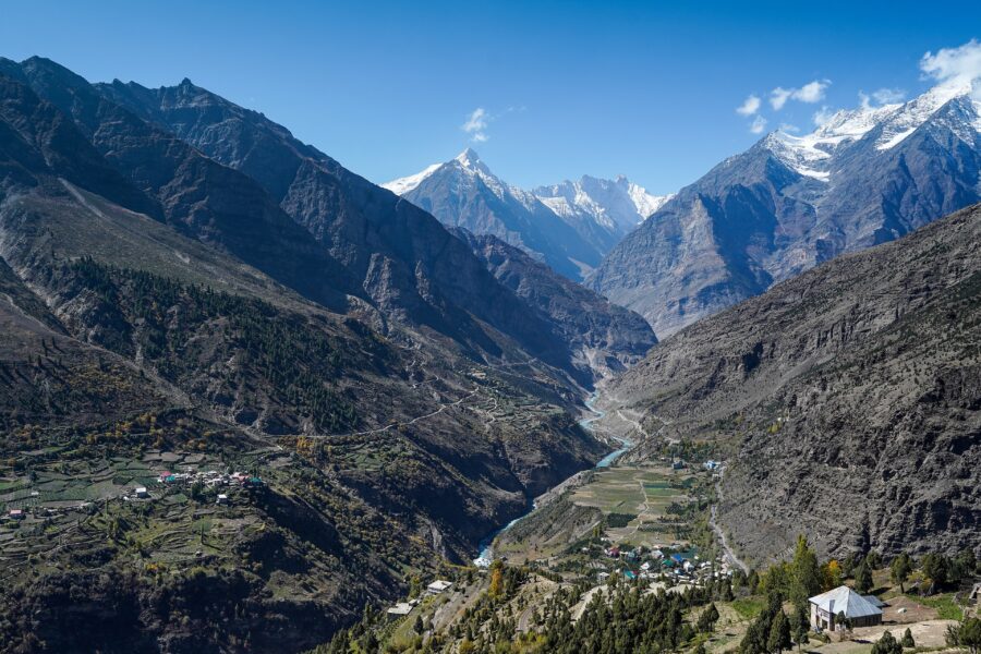
 Autumn
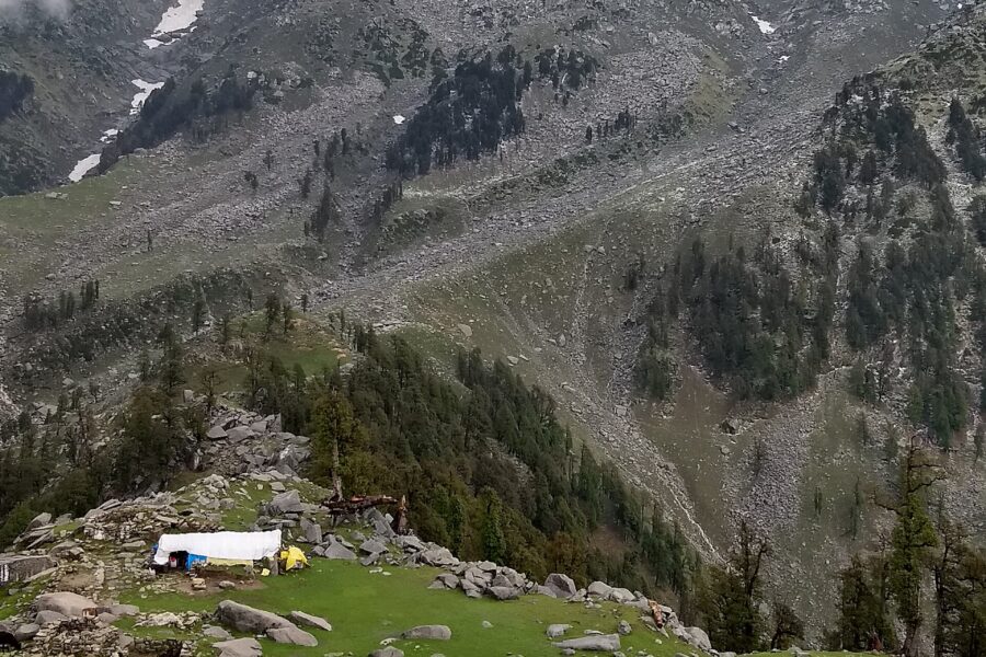
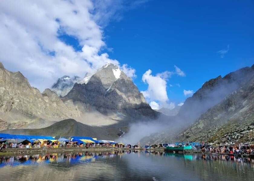 Monsoon
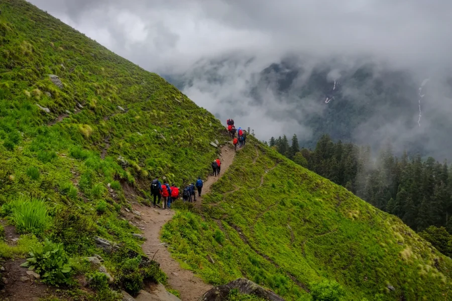 Autumn
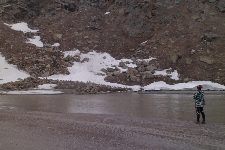 Monsoon
Destination guides 14 min read
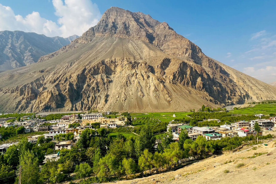
Tabo is a small village located in the Spiti Valley of Himachal Pradesh, India. It lies at an…
Trek guides 14 min read
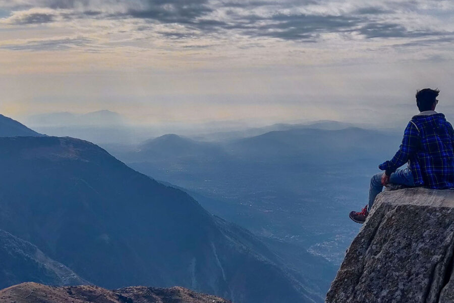
The Triund trek, one of the most popular weekend getaways from Delhi and Chandigarh, is a short and…
Trek guides 14 min read
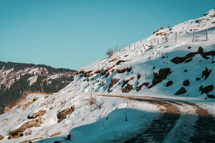
Prashar Lake Trek is a untouched secret in the Himalayas in the lap of Mandi district of Himachal…
Destination guides 11 min read
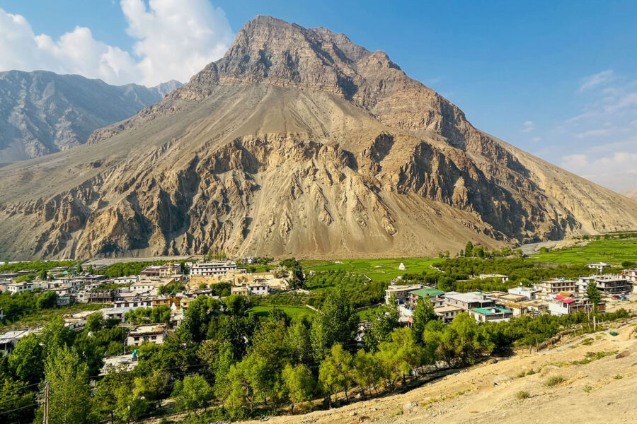
Tabo Monastery is a Buddhist monastery located in the Spiti Valley of Himachal Pradesh, India. It is one…
Destination guides 8 min read
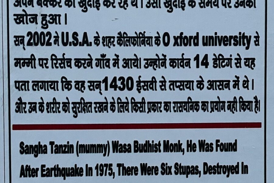
Did you know that, in addition to Egypt, India has its own mummy perched at a height of…
Destination guides 11 min read
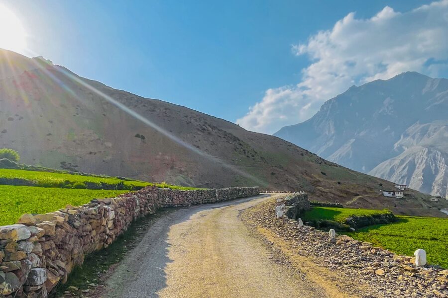
An Oasis in the Mountains: Exploring Pin Valley National Park Pin Valley National Park is located in the…
Destination guides 14 min read
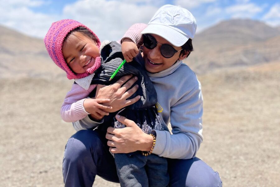
Meta description: " Journey to Langza, the 'Fossil Village' of Spiti Valley. Explore rich fossil reserves, Tibetan architecture,…
Destination guides 11 min read
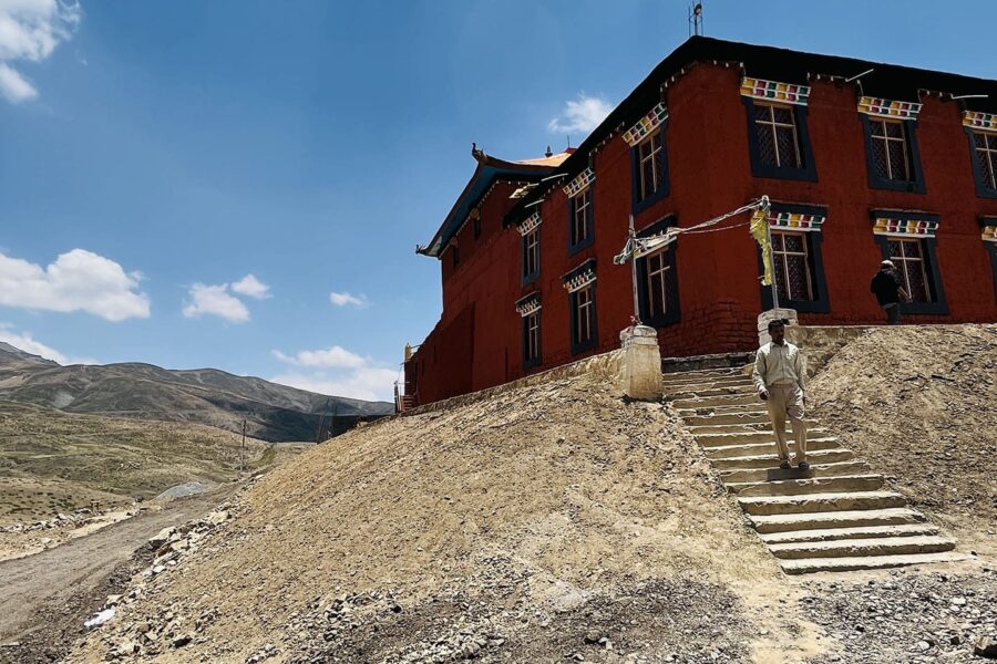
"Komic Village: Where Time Stands Still and Stars Come Alive" Greetings, ladies and gentlemen. Today we will dive…