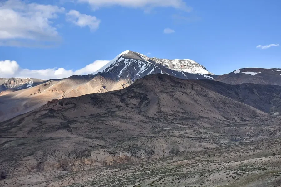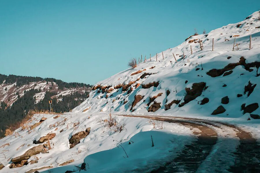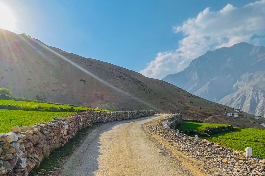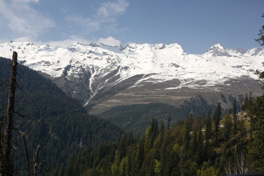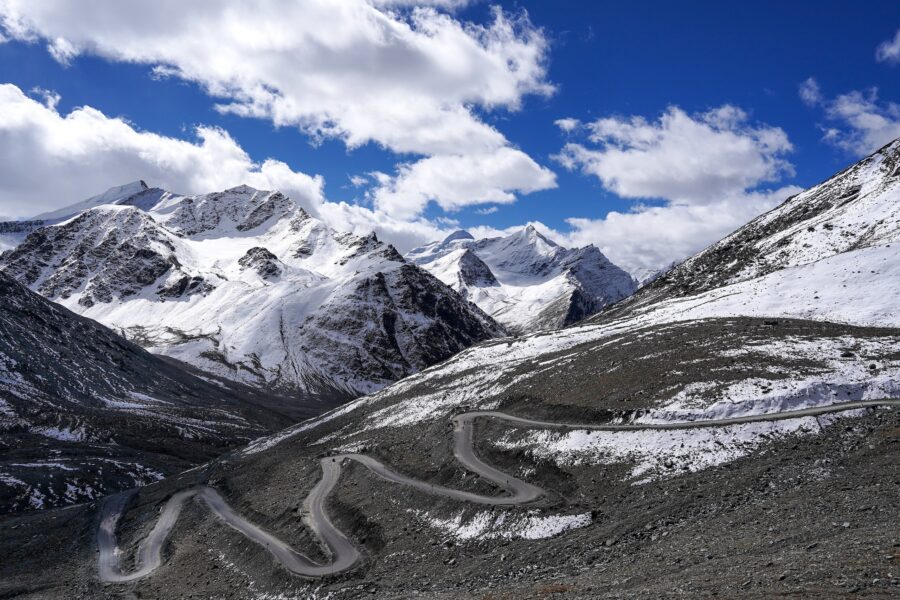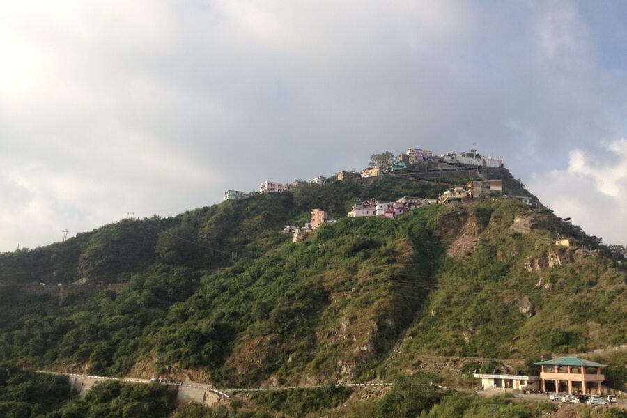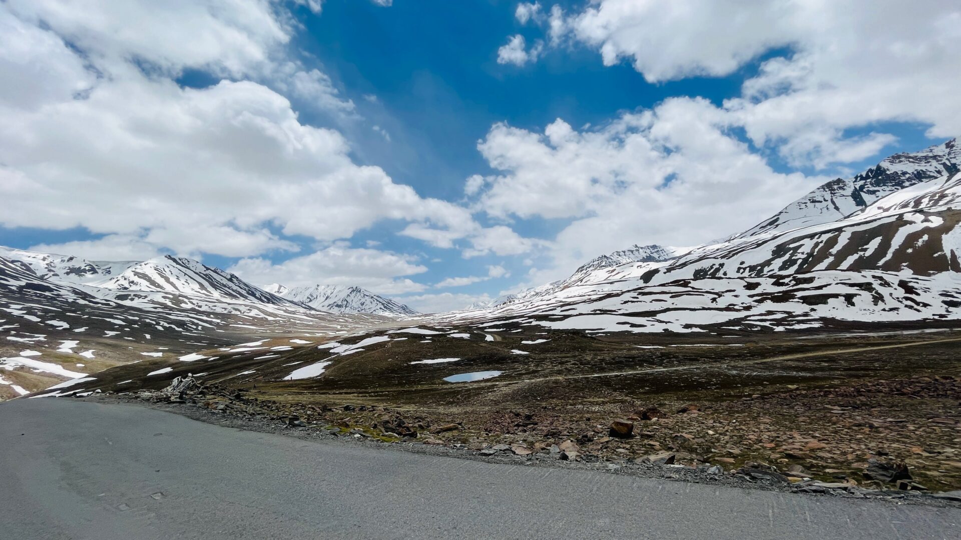
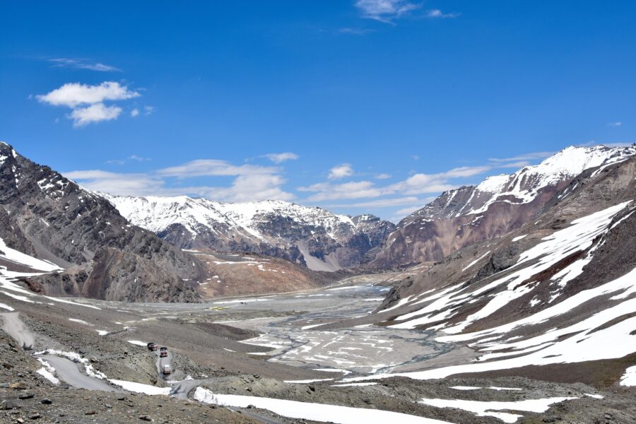
The Manali-Leh highway crossing the snow-patched plateau at Baralacha La under a blue sky, photographed by HikiePsyche founder Aditya Bansal

Baralacha La

Don’t just visit. Understand before you go.

Lahaul Autumn Visited by our founder
Explore Mountain Passes

Safety & current conditions in Baralacha La

Generally safe to travel Roads likely closed Jun–Oct

Advisory

No active alerts. Carry layers, keep emergency contacts handy and check local conditions before you set out.

Live weather

-16°C Overcast
  • Feels -21°C
  • 7 km/h wind
  • 18% humidity

Mountain weather changes quickly. Treat this as a planning signal, not a final safety clearance - confirm locally before you set out.

Overview

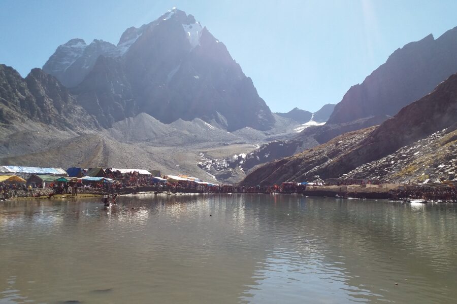
A pass of about 4,890 m on the Manali-Leh highway, 53 km beyond Jispa and about 144 km from Manali. Baralacha La sits on a broad, snow-streaked plateau where the Bhaga, Chandra and Yunam valleys begin, and Suraj Tal, the lake at the source of the Bhaga, lies just below the top on the Jispa side. North of the pass the highway drops past the Bharatpur tent dhabas to Sarchu on the Himachal-Ladakh border, about 30 km on. Nobody sleeps at the top: you cross it on the way to Leh, or see it as a day trip from Jispa and turn back.

DIY Snapshot

DIY difficulty High
Best for Road trip, Nature
Ideal days 2-3 days
Best season Jun to Oct, while the Manali-Leh highway is open
Budget ₹8,000-₹15,000
Local transport Moderate
Internet Poor
Safety comfort High
Languages Hindi, Lahauli (Bhoti)
How is this score calculated?

This is a DIY-readiness gauge - how do-able it is to plan and travel yourself. Destinations show it as a 0-5 DIY Score; treks & routes as a 0-10 Score (a wider scale for the extra variables they carry). Both are built from these factors:

  • SafetyLocal safety, terrain and current advisory conditions along the route.
  • Transport accessHow easily you can reach the place and move around without your own vehicle.
  • NetworkMobile signal and data coverage you can expect on the way.
  • Season reliabilityHow dependable the weather and season window is for travel.
  • Budget clarityHow predictable day-to-day costs are, with few surprises.
  • Trail / route clarityHow well-marked and easy to follow the route or trail is.
  • Stay availabilityThe choice and reliability of places to stay along the way.
  • First-timer friendlinessHow forgiving it is for a first-time independent traveller.
  • Solo / women comfortHow comfortable and safe it is for solo and women travellers.
  • Local supportAvailability of guides, hosts and on-the-ground help if you need it.
Read the full method →

Plan Baralacha La yourself: free guide or ready-made plan?

Free on this page

  • Best time to go and the weather
  • How to reach, and where to base yourself
  • What to pack
  • Stay and booking links

Enough to decide if Baralacha La is right for you.

In the ready-made plan

  • A 3-day plan, with timings for each day
  • A tap-to-navigate Google Maps route for every day
  • Where to stay and eat each night, and what each day costs
  • Packing and safety brief, with a bad-weather backup
  • Help from us if you get stuck after you buy

See the plan · ₹199 Preview it first

Rather talk it through? Book a 30-minute planning call and we will go over your route, timing and budget with you.

Plan it yourself

The DIY deep-dive

The sweet spot for visiting Baralacha La is June to October, while the Manali-Leh highway is open. Give it 2-3 days to do it justice. Budget roughly ₹8,000-₹15,000 per person for a DIY trip. It is a good fit if you are after road trips and nature. It is a sensible pick for solo women travellers.

DIY route options

Crossing to Leh in stages Manali to Jispa, Jispa over the pass to Sarchu, then Sarchu to Leh over Nakee La, Lachulung La and Tanglang La. Three days, the classic way to drive the highway.
Day trip from Jispa Sleep at Jispa, drive up past Deepak Tal and Suraj Tal to the top and come back for the night. The gentlest way to see the pass.
Coming down from Leh Drive south from Leh to Sarchu or Jispa and cross the pass already acclimatised - much easier on the body than the climb from the Manali side.

What most travellers miss

  • Suraj Tal sits below the road just before the top on the Jispa side; stop at the turnout rather than driving past.
  • The snow fields and meltwater channels on the plateau are best in the morning, before the wind and cloud.
  • The Bharatpur dhabas just north of the top are the only food for a long way - tea and Maggi here, not at Sarchu, if you are hungry.
  • Most people cross in a hurry; ten quiet minutes at the top, warm layers on, is enough to take it in.

Where to base yourself

Jispa Night 1
Sarchu Night 2
Leh Night 3

DIY is the main way - this is the upgrade

Want expert help adapting this plan?

Want a version of this plan built around you? We rework the route, pacing, stays and budget for your dates and group size - you travel independently, with the research already done.

  • Custom route planning
  • Stay and area recommendations
  • Group planning support
  • Local expert guidance
Enquire for pricing Enquire on WhatsApp

How to reach

  • Nearest airport Bhuntar (Kullu) is the nearest airport, about 195 km away via Manali, the Atal Tunnel and Jispa. Leh airport, about 280 km on the far side, works if you are driving the highway the other way.
  • Nearest railway station There is no railway near. Chandigarh and Kiratpur Sahib are the nearest useful broad-gauge stations, a full day's drive from Manali.
  • Bus & road hub In season HRTC runs a Manali-Leh bus over the pass (about two days with a night halt on the way), and HPTDC has run a tourist bus in some years. Neither stops long at the top. Confirm the current service at the Manali bus stand.
  • Taxis & local transport Manali taxis do the Manali-Leh run and Jispa day trips to the pass; agree the stops (Deepak Tal, Suraj Tal, the top) and the night halts before you set off. Shared taxis run Manali-Leh in season.
  • Road access & best route From Manali through the Atal Tunnel, Tandi, Keylong and Jispa (91 km), then Darcha, Patseo, Zingzingbar and up to the pass, 53 km from Jispa. Sarchu is about 30 km beyond and Leh 422 km from Manali in all. Tandi near Keylong is the last fuel pump before Leh. The highway usually opens in May or June and closes by November; check /is-it-open/baralacha/ on this site before you go.

Things to do & travel tips

  • Check our Is Baralacha La open today page (/is-it-open/baralacha/) the evening before; overnight snow can stop traffic for a day even in season.
  • You climb from about 3,300 m at Jispa to about 4,890 m in two hours. Keep the stop at the top short and sleep lower if anyone has a headache that is getting worse.
  • Sarchu, the usual night halt beyond the pass, is at about 4,300 m and is where many people first feel the altitude. Going back down to Jispa means recrossing the pass, so if you are not acclimatised, sleep at Jispa and do the Sarchu-Leh stretch with an early start.
  • There is no fuel between Tandi and Leh (about 365 km) - fill up and carry a spare can if your vehicle is thirsty.
  • Suraj Tal is just below the top on the Jispa side; our Suraj Tal page (/destinations/suraj-tal/) has the day trip from Jispa if you are not going on to Leh.

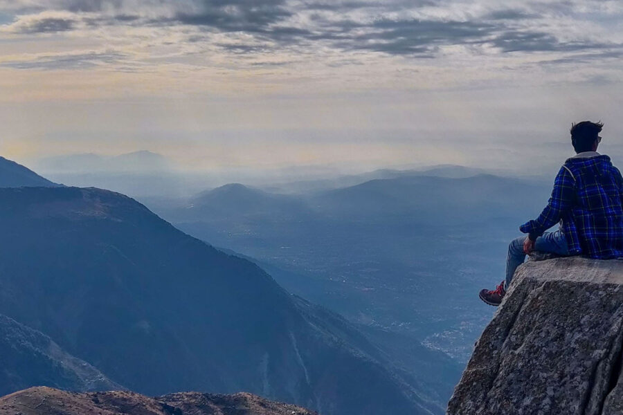
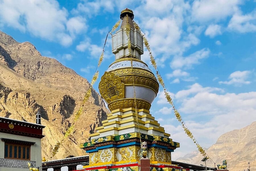
Photos of Baralacha La

Map

Curated places to visit in Baralacha La

Tap “Get directions” to open any spot straight in Google Maps.

Bara-lacha la

0 km from Baralacha La centre

Bara-lacha la also known as Bara-lacha Pass, or Bārā Lācha La, is a high mountain pass in the Zanskar range of Northern-India, connecting Lahaul district in Himachal Pradesh to Leh district in Ladakh. Rail-cum-road tu…
Suraj Tal

2.1 km from Baralacha La centre

Suraj Tal, also called Tso Kamtsi or Surya Tal, is an 800 m (2,600 ft) long lake that lies just below the 4,890 m (16,040 ft) high Bara-lacha-la pass in Lahaul and Spiti district of the Indian state of Himachal Prade…

What to pack for Baralacha La Partner links

Matched to the season and terrain here. Each card links to our full shortlist.

Road trip kit

High, remote roads with long gaps between towns - power, tyre and first-aid kit for the drive.

Our top pickQubo Digital Tyre Inflator

Buy on AmazonSee all 7 picks

Warm jacket

Mountain nights get properly cold - a light insulated jacket packs small and saves the trip.

Our top pickWildcraft Sierra Packable Husky Puffer Jacket

Buy on AmazonSee all 8 picks

Rain gear

Good in the monsoon too - a real rain jacket and dry bag beat a hotel umbrella.

Our top pickRocksport Hooded Rain Poncho

Buy on AmazonSee all 7 picks

Stay & food in Baralacha La

Book a stay Partner links

Compare prices, photos and guest reviews for stays where people base themselves.

Stay

Dhaba (food and bed)

Dhaba (food and bed), Manali-Leh, -, Himachal Pradesh, India

5.8 km away Open in Maps

Stay

Dhaba (food and bed)

Dhaba (food and bed), Manali-Leh, -, Himachal Pradesh, India

5.8 km away Open in Maps

Stay

Dhaba (food and bed)

Dhaba (food and bed), Manali-Leh, -, Himachal Pradesh, India

5.8 km away Open in Maps

Stay

Dhaba (food and bed)

Dhaba (food and bed), Manali-Leh, -, Himachal Pradesh, India

5.8 km away Open in Maps

Stay

Dhaba (food and bed)

Dhaba (food and bed), Manali-Leh, -, Himachal Pradesh, India

5.8 km away Open in Maps

Stay

Food & bed (Dhaba)

Food & bed (Dhaba), Manali-Leh, -, Himachal Pradesh, India

7.4 km away Open in Maps

Stay

Food & bed (Dhaba)

Food & bed (Dhaba), Manali-Leh, -, Himachal Pradesh, India

7.4 km away Open in Maps

Stay

Food & bed (Dhaba)

Food & bed (Dhaba), Manali-Leh, -, Himachal Pradesh, India

7.4 km away Open in Maps

Free trip cost calculator

How much will Baralacha La cost?

Style

About, per person

-

See the full breakdown →

Usual season: June to October. The Manali to Leh highway usually opens in May or June and closes by November.

-16°C now, overcast · next 3 days -23° to -6°

Usual seasons are approximate; snow and landslides can close any road. Check locally before you set off.

Frequently asked questions about Baralacha La

What is the best time to visit Baralacha La?

The best time to visit Baralacha La is June to October, while the Manali-Leh highway is open.

How many days do you need for Baralacha La?

Plan for about 2-3 days to see Baralacha La at an easy pace.

What is the nearest railway station to Baralacha La?

The nearest railway station to Baralacha La is There is no railway near. Chandigarh and Kiratpur Sahib are the nearest useful broad-gauge stations, a full day's drive from Manali.

What is the nearest airport to Baralacha La?

The nearest airport to Baralacha La is Bhuntar (Kullu) is the nearest airport, about 195 km away via Manali, the Atal Tunnel and Jispa. Leh airport, about 280 km on the far side, works if you are driving the highway the other way.

How do you reach Baralacha La by road?

From Manali through the Atal Tunnel, Tandi, Keylong and Jispa (91 km), then Darcha, Patseo, Zingzingbar and up to the pass, 53 km from Jispa. Sarchu is about 30 km beyond and Leh 422 km from Manali in all. Tandi near Keylong is the last fuel pump before Leh. The highway usually opens in May or June and closes by November; check /is-it-open/baralacha/ on this site before you go.

How much does a trip to Baralacha La cost?

A DIY trip to Baralacha La starts around ₹8,000-₹15,000 per person, depending on stays, travel and season.

Is Baralacha La good for first-time or solo travellers?

Yes - Baralacha La is a sensible pick for solo women travellers, if you plan the basics ahead.

Comments are closed.

Treks nearby

View all

Related destinations

View all